

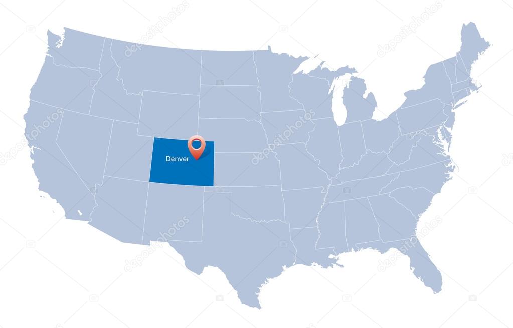
Map of USA with the indication of State of Colorado and Denver
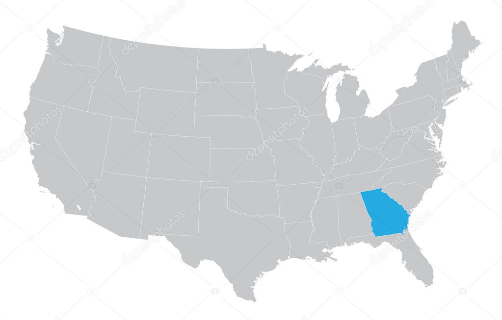
USA map with the indication of the State of Georgia
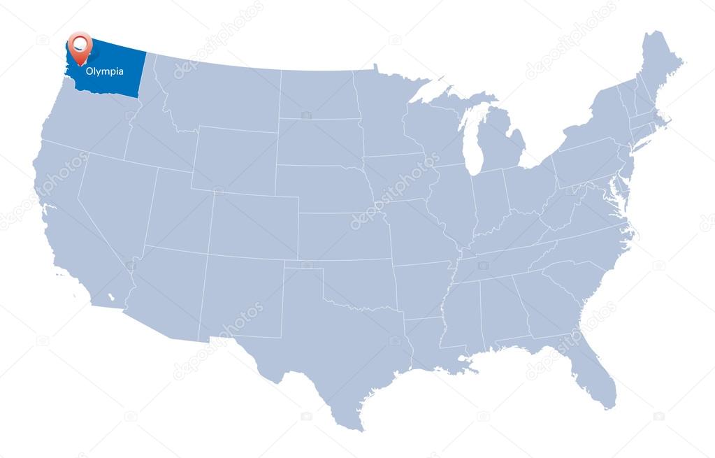
Map of USA with the indication of Washington state
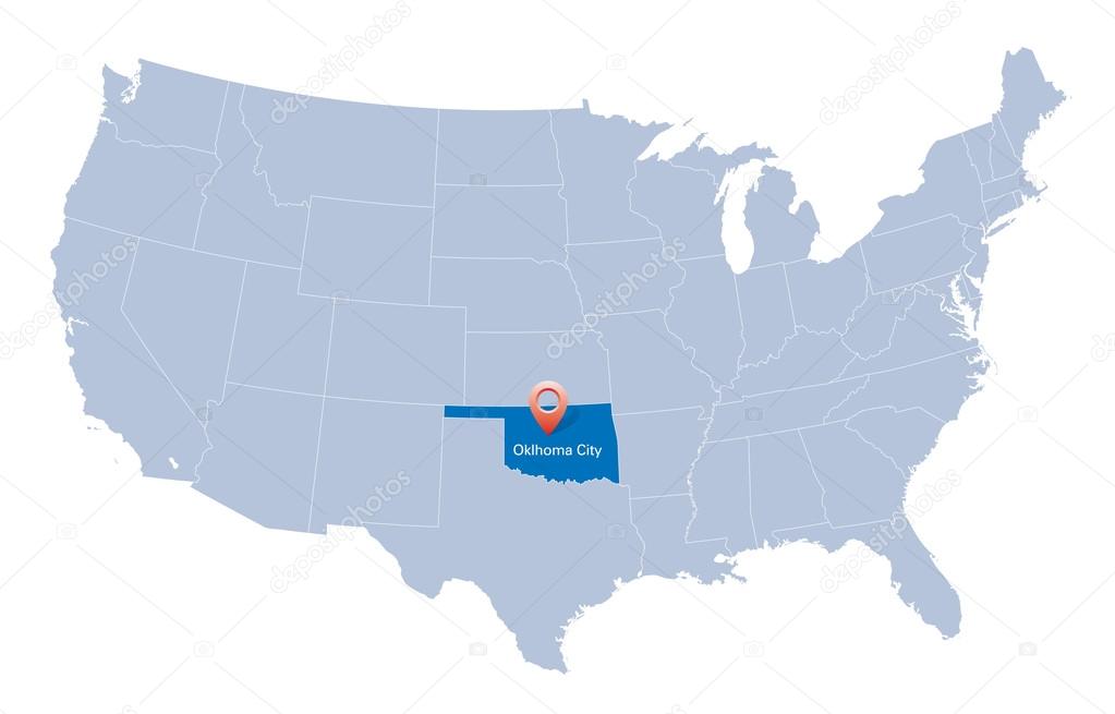
Map of USA with the indication of State of Oklahoma

USA map with the indication of The State of Kansas

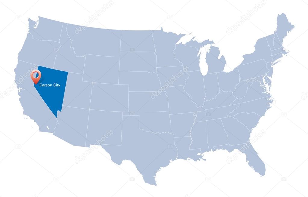
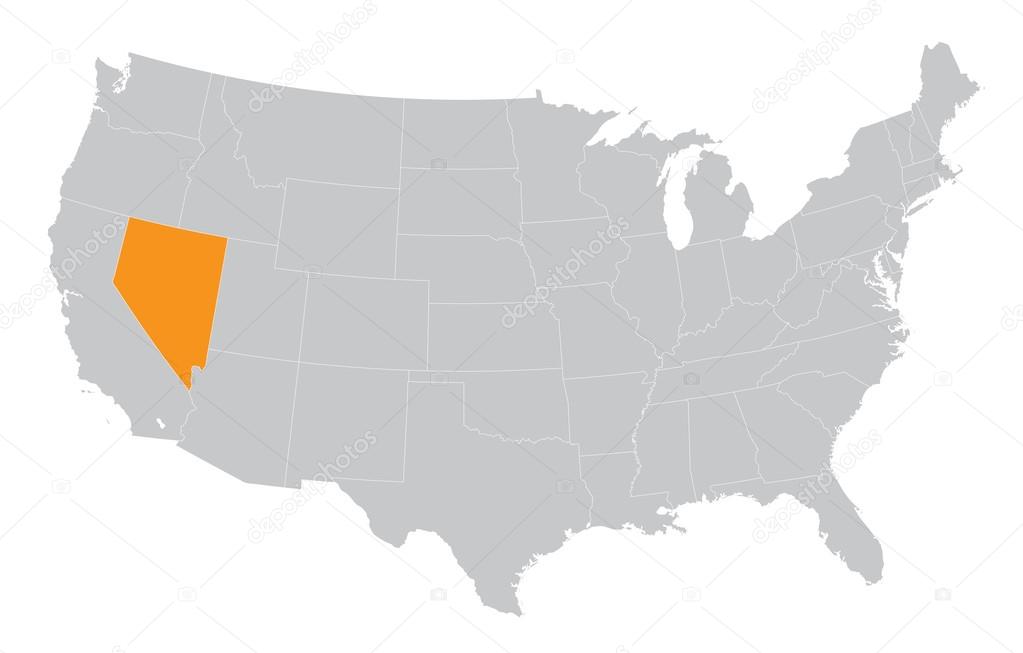
Map of USA with the indication of State of Nevada and Carson City

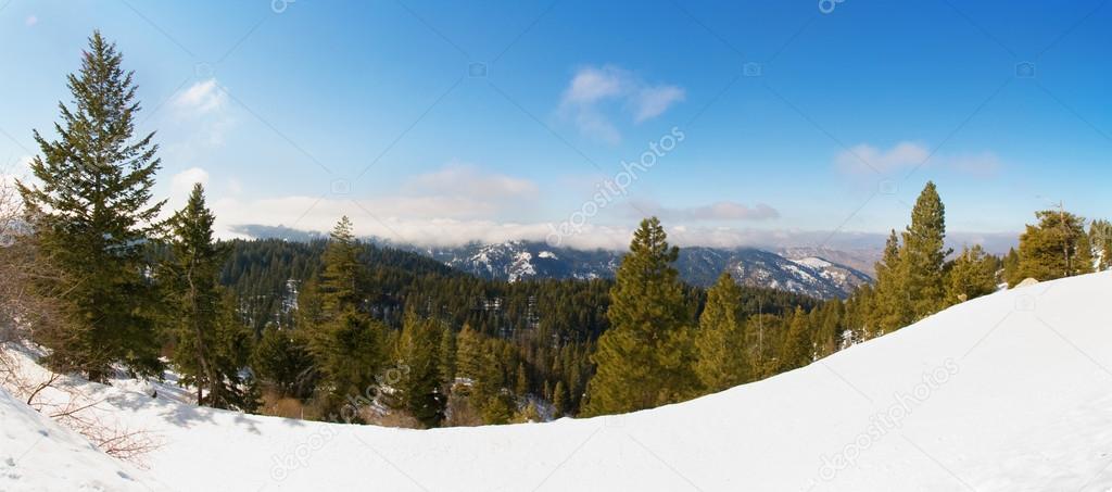
The Sawtooth National Forest covers two million acres in southern Idaho and northern Utah and includes the Sawtooth Mountains and the Sawtooth National Recreation Area.


No livestock left in this rural winter countryside

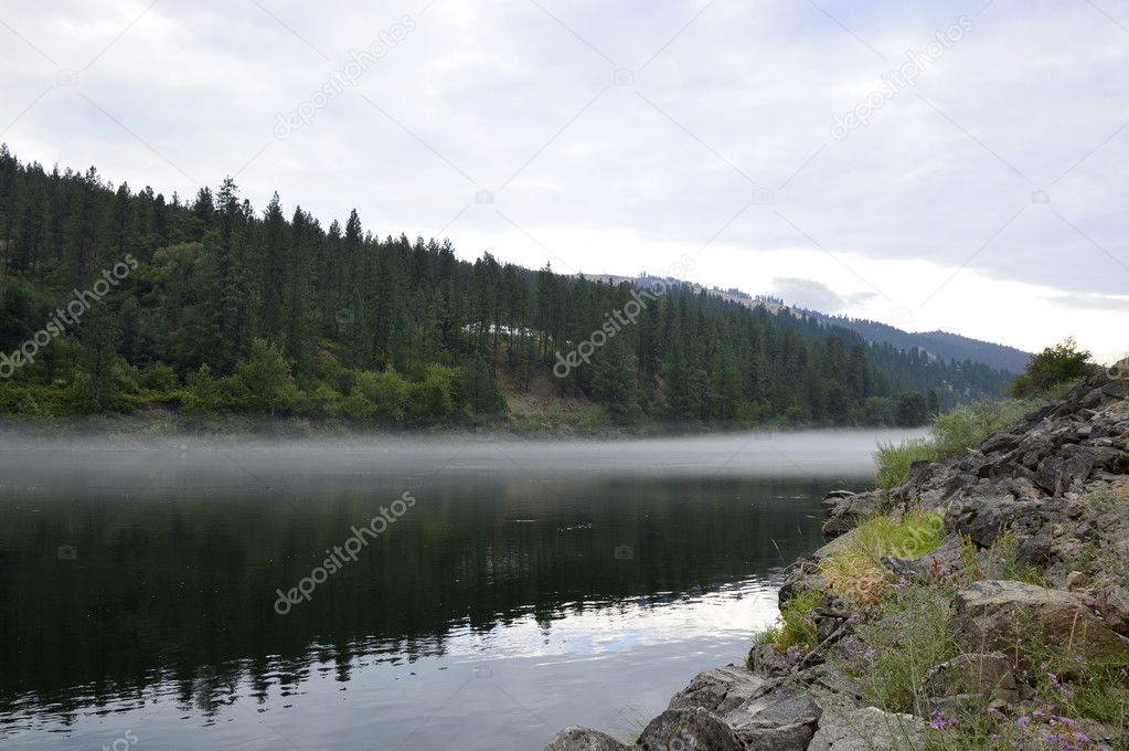
Calm water of the canal reflects the clouds in the sky on an autumn day near Bonners Ferry, Idaho.
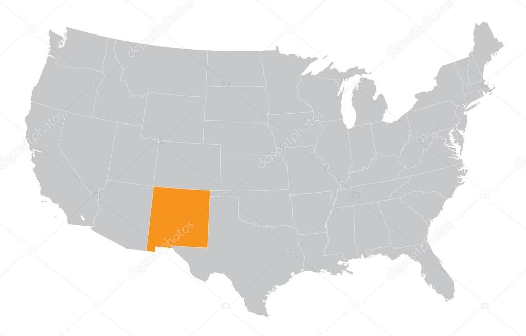
USA map with the indication of the State of New Mexico
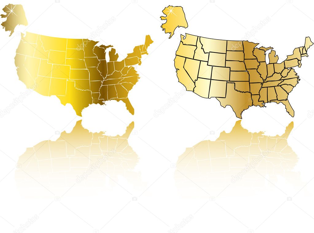

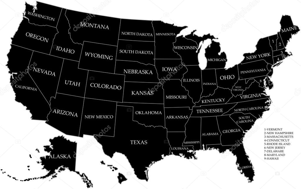
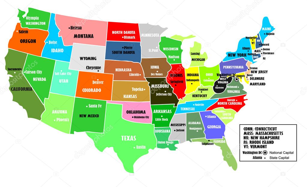
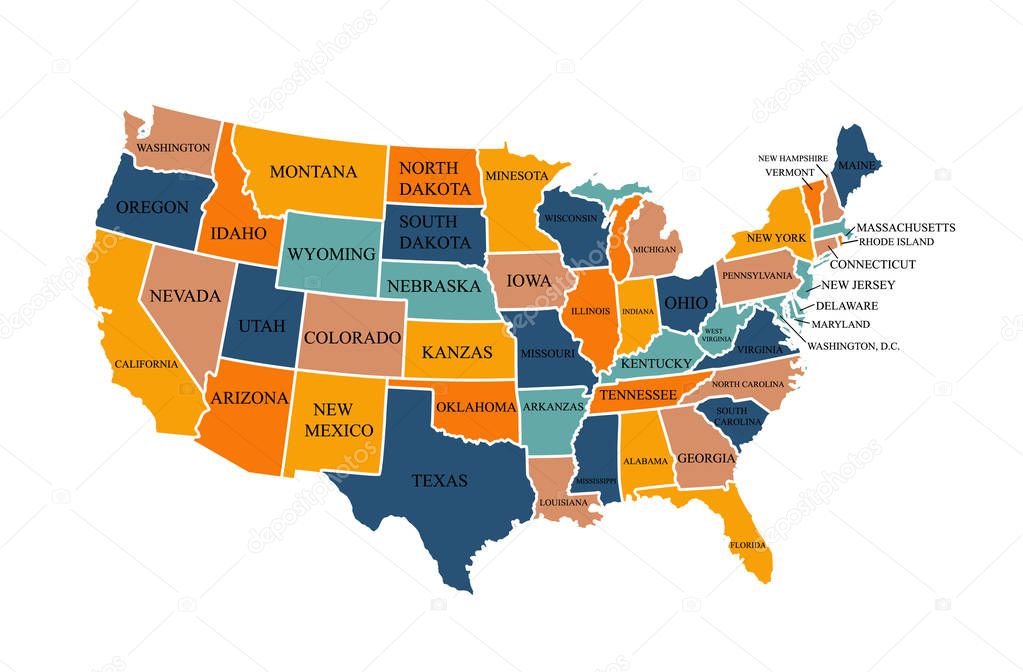
Map of the United States of America, with borders and state names, Detailed vector illustration
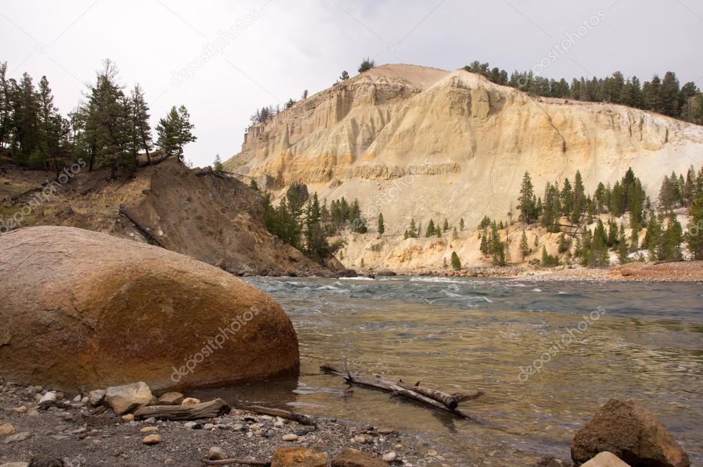
Yellowstone National Park is a national park located primarily in the U.S. state of Wyoming, although it also extends into Montana and Idaho. It was established by the U.S. Congress and signed into law by President Ulysses S. Grant on March 1, 1872.
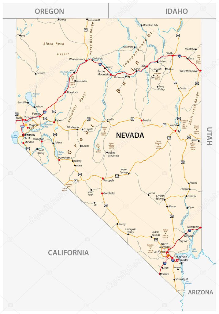
Nevada road map with interstate US highways and federal highways
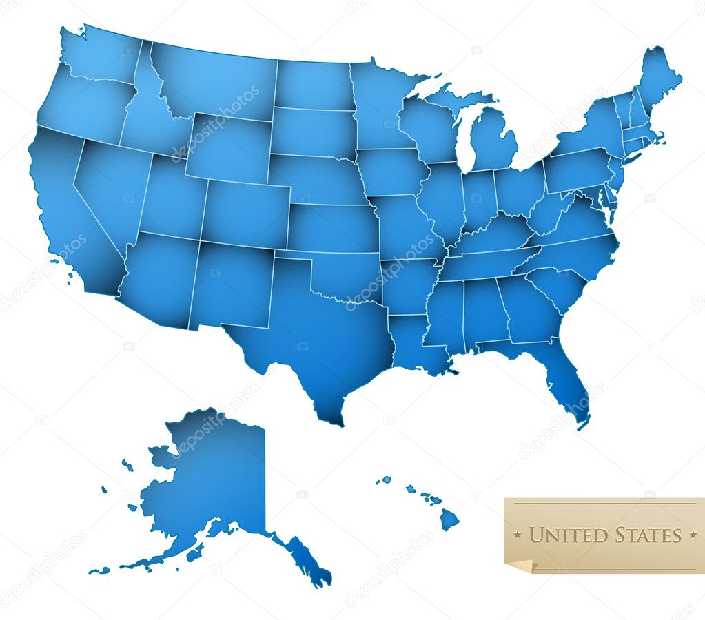
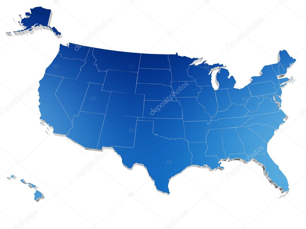
USA map - United States of America with all 50 states - blue color - isolated on white - Vector
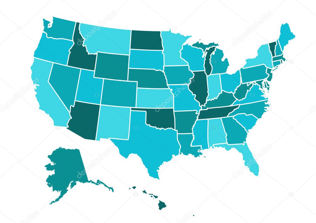
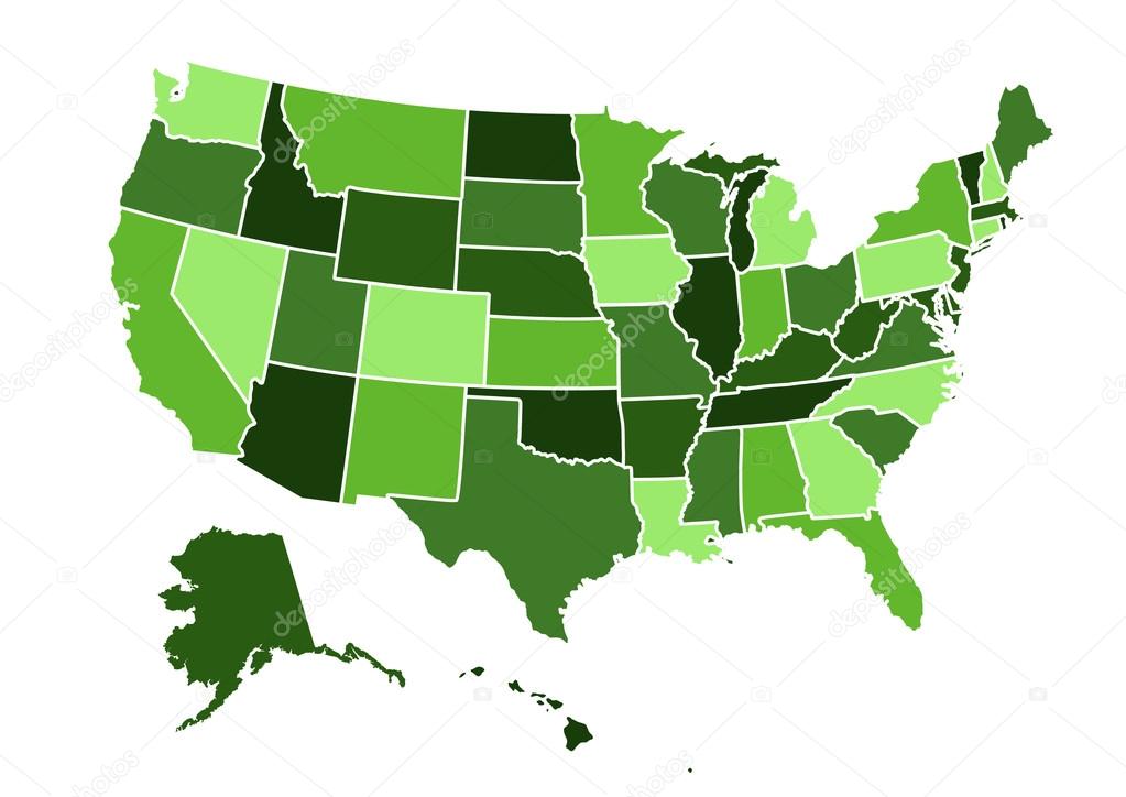
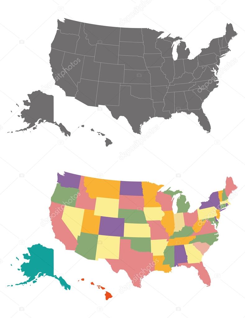
USA map - states separated in the groups - illustration for the web
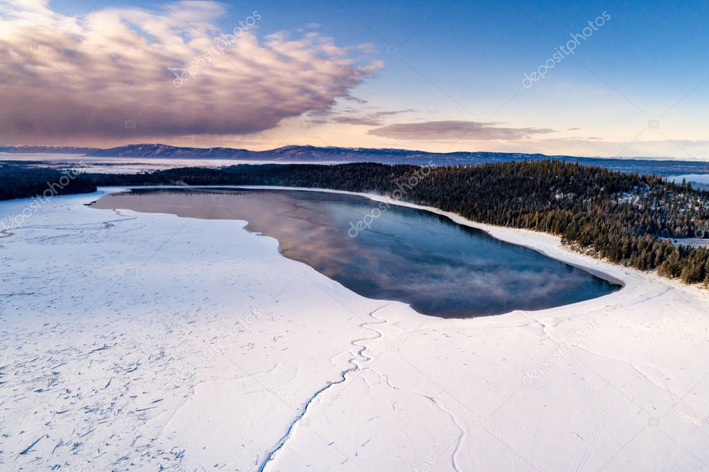
Snow patterns in the snow and reflection in a mountain lake winter
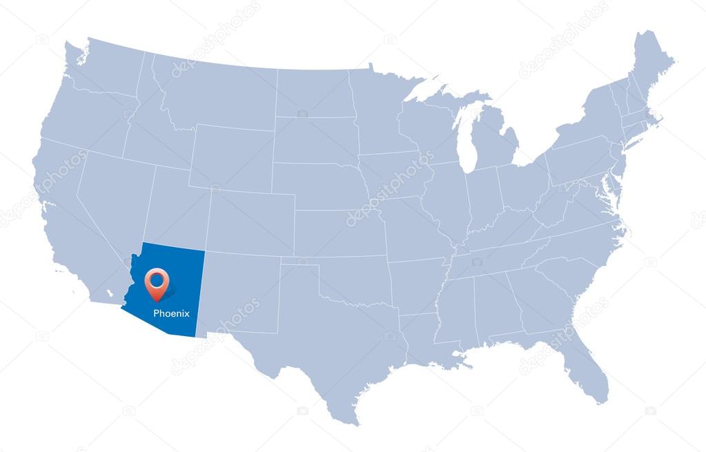
Map of USA with the indication of State of Arizona and Phoenix
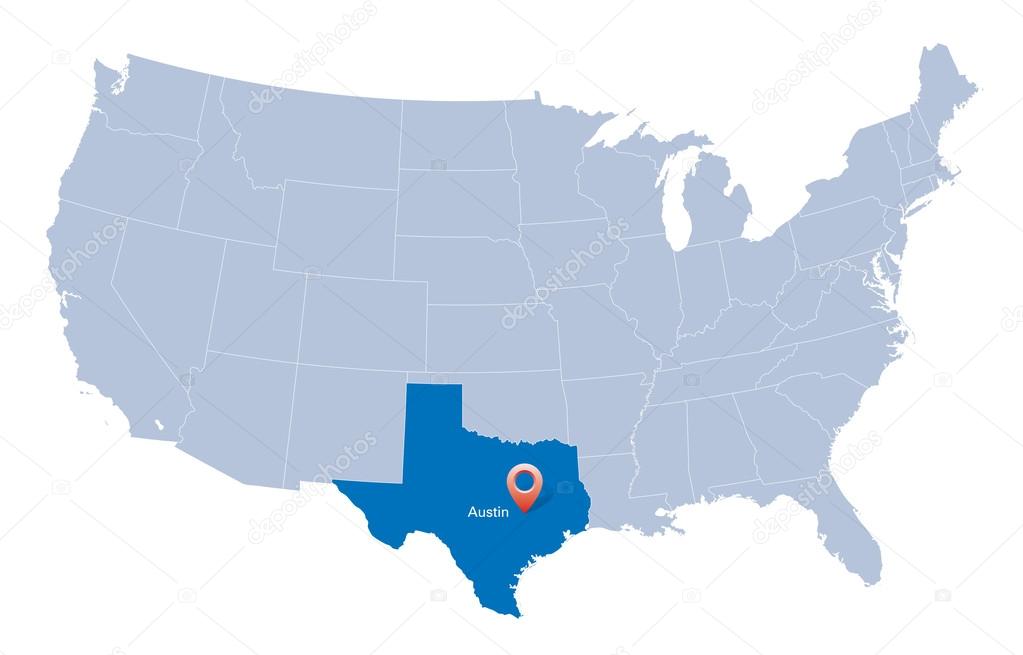
Map of USA with the indication of State of Texas and the capital
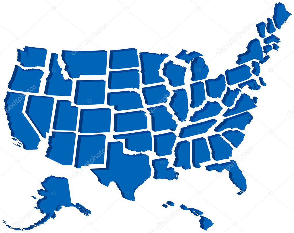
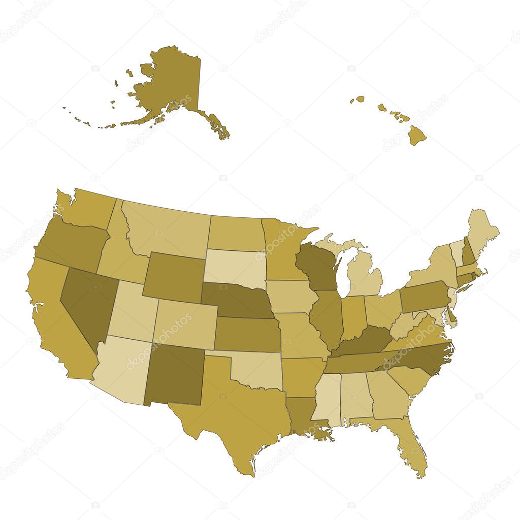
Very detailed vector file of all fifty states in 3d. Each state is grouped individually and labeled in the layers palette.
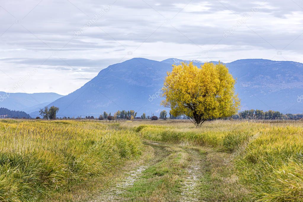
A path leads to a single tree with yellow leaves in Fall at the Kootenai Wildlife Refuge near Bonners Ferry, Idaho.
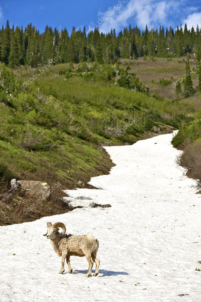
Mountain Bighorn Sheep. Northern Rocky Mountains, Montana, U.S.A. Montana Wildlife Photo Collection.
![]()
 Italiano