


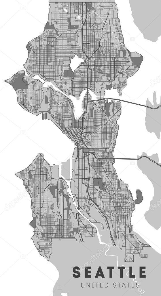
City map Seattle, monochrome detailed plan, vector illustration. Washington.
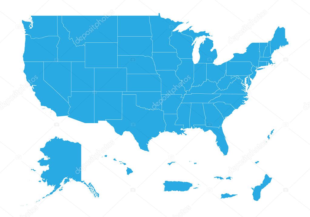
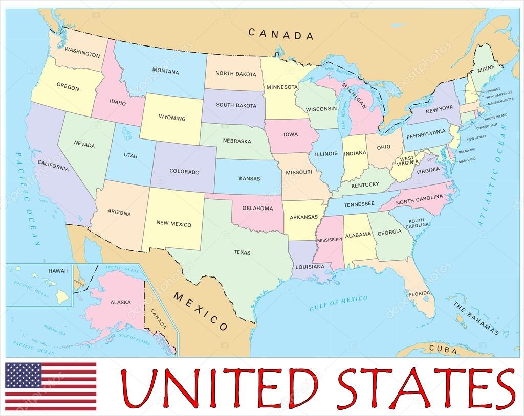
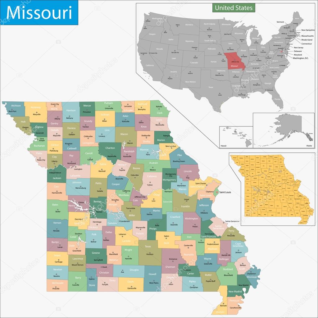
Map of United state of America Territories. High detailed vector map - United state of America Territories.
Black location map of the Honduran Comayagua department inside gray map of Honduras

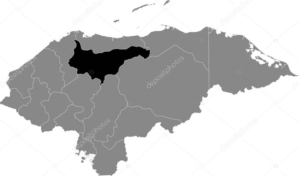
Black location map of the Honduran Yoro department inside gray map of Honduras
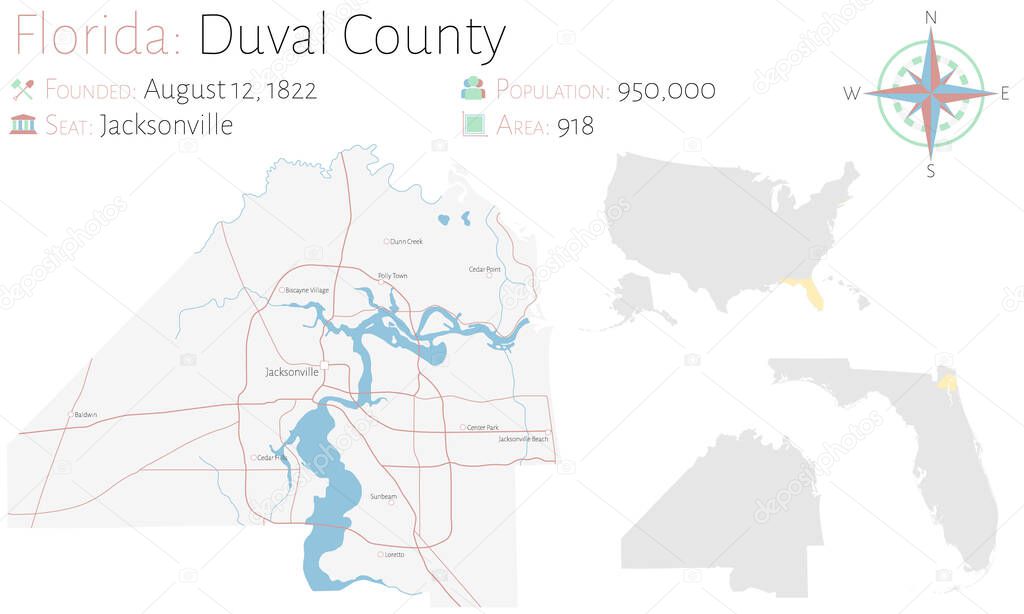
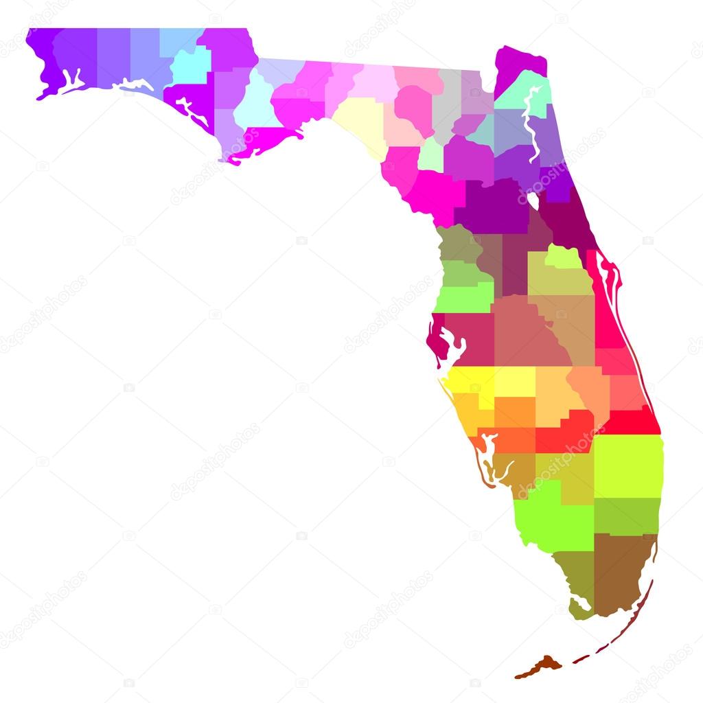
Large and detailed map of Duval county in Florida, USA.


Map of Rhode Island state designed in illustration with the counties and the county seats
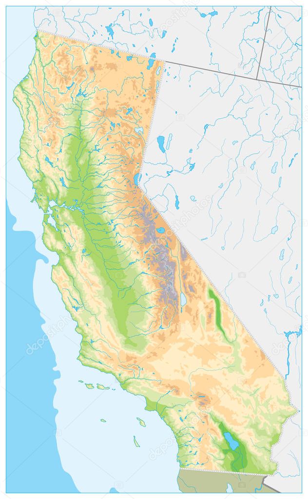
Highly Detailed Physical Map of California. No text - Highly Detailed Relief Map of California State vector illustration - All elements are separated in editable layers clearly labeled.
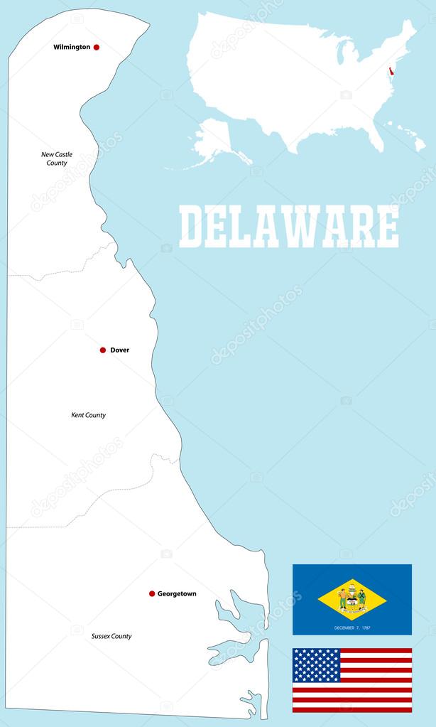
A large and detailed map of the State of Delaware with all counties and county seats.

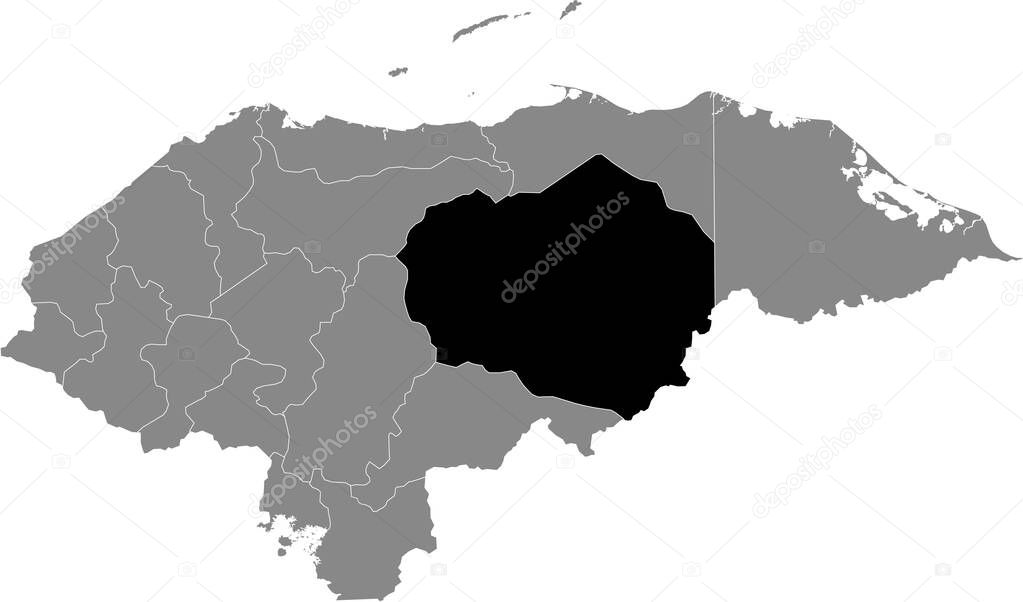
Black location map of the Honduran Olancho department inside gray map of Honduras

A large, detailed map of the State of Georgia including all counties and main cities.
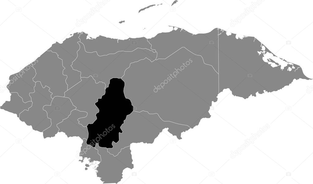
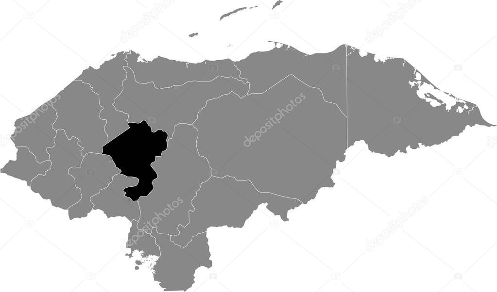
Black location map of the Honduran Francisco Morazn department inside gray map of Honduras
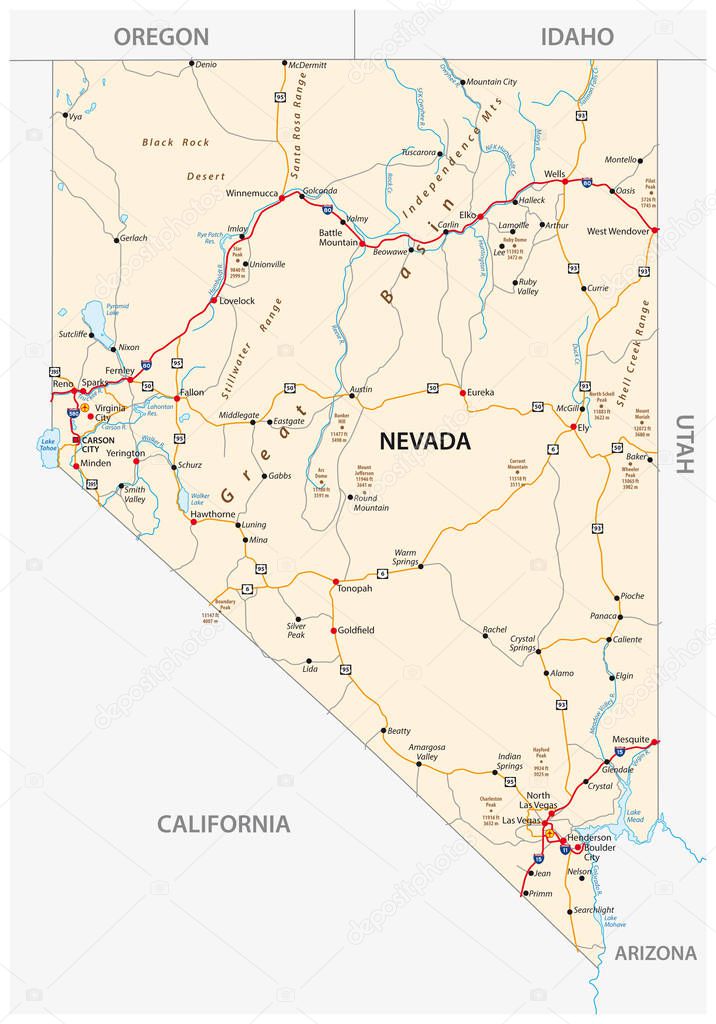
Nevada road map with interstate US highways and federal highways


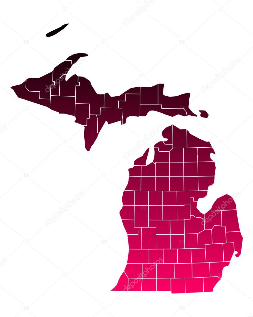
Washington vector maps counties, townships, regions, municipalities, departments, borders
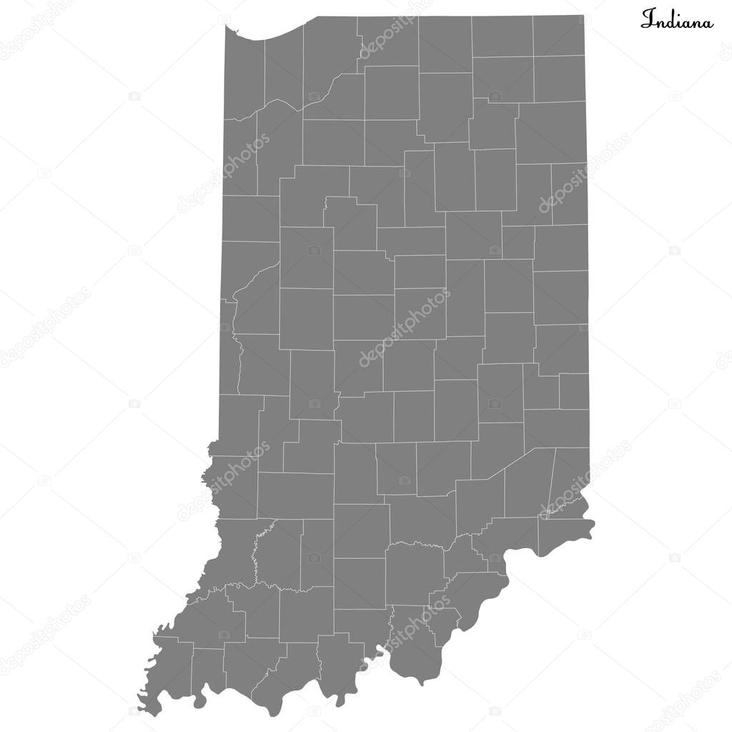
High Quality map of Indiana is a state of United States with borders of the counties
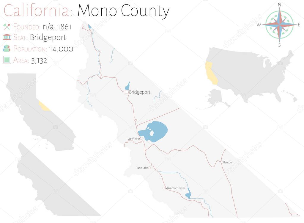
Large and detailed map of Mono county in California, USA
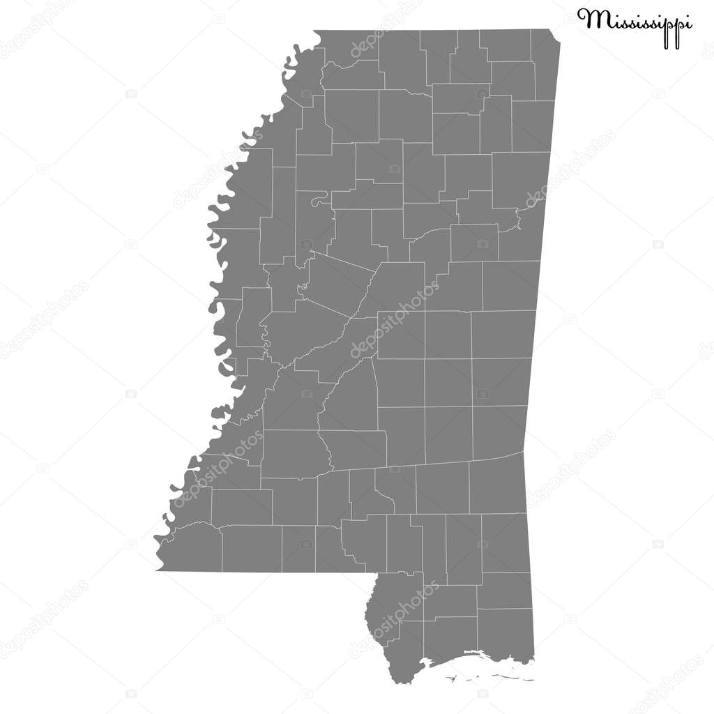
High Quality map of Mississippi is a state of United States with borders of the counties


![]()
 Italiano