


Map of USA in blue color with map pins. Vector illustration isolated on white

Southwest United States Arizona New Mexico Utah vector travel illustrations designs
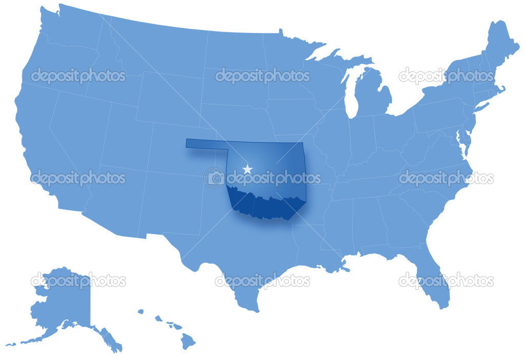
Political map of United States with all states where Oklahoma is pulled out
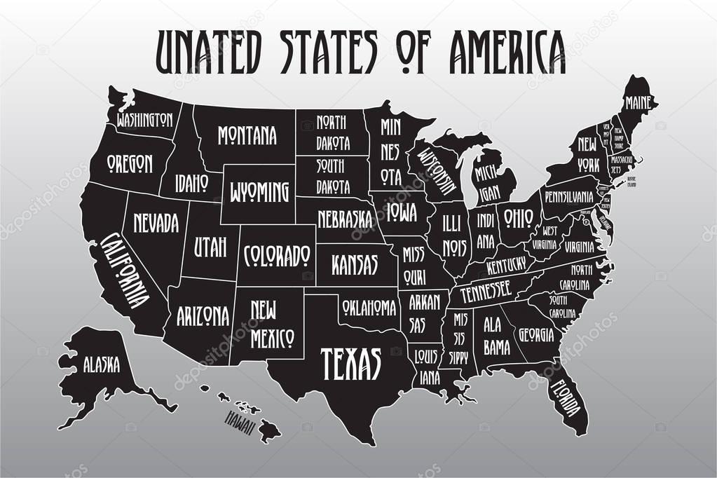
Poster map of United States of America with state names. Black and white print map of USA for t-shirt, poster or geographic themes. Hand-drawn font and black map with states. Algorithm binary, data
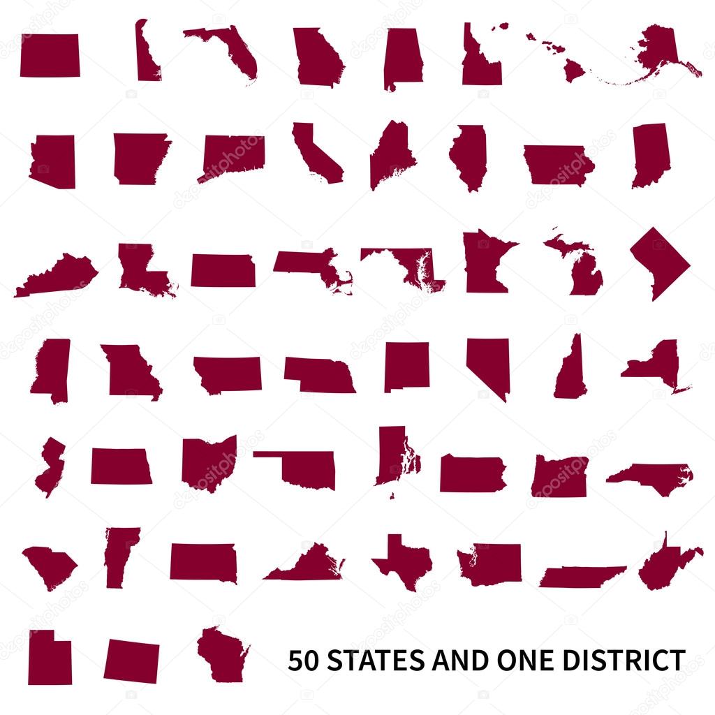
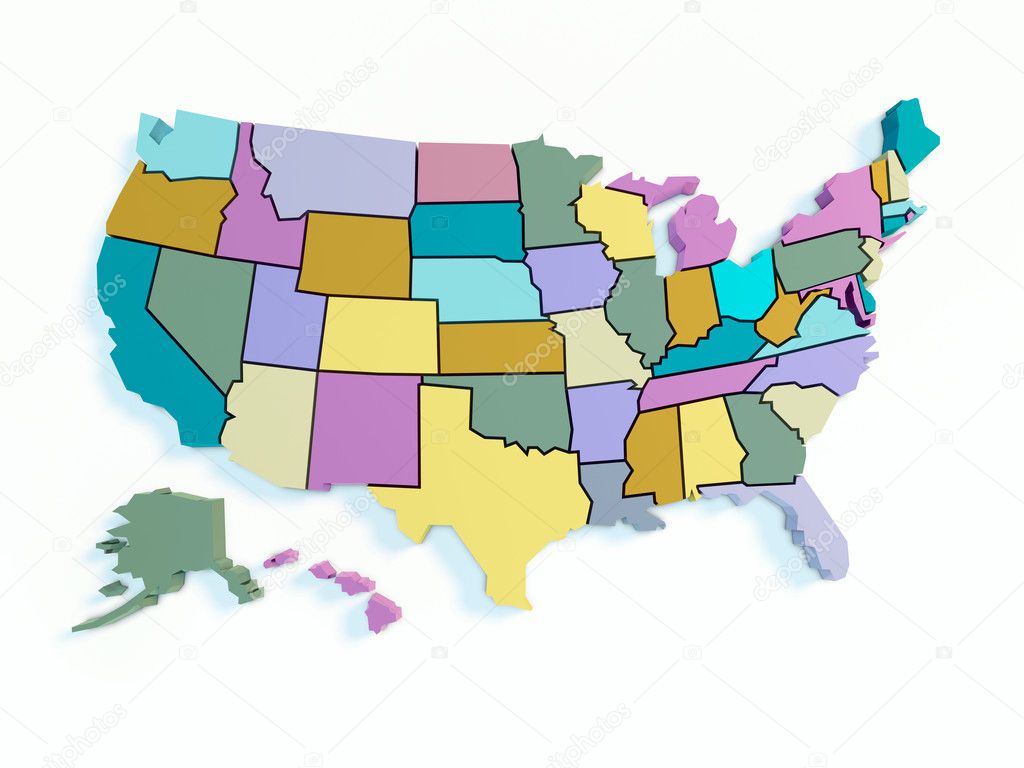
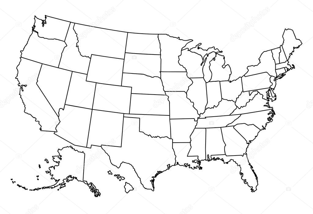
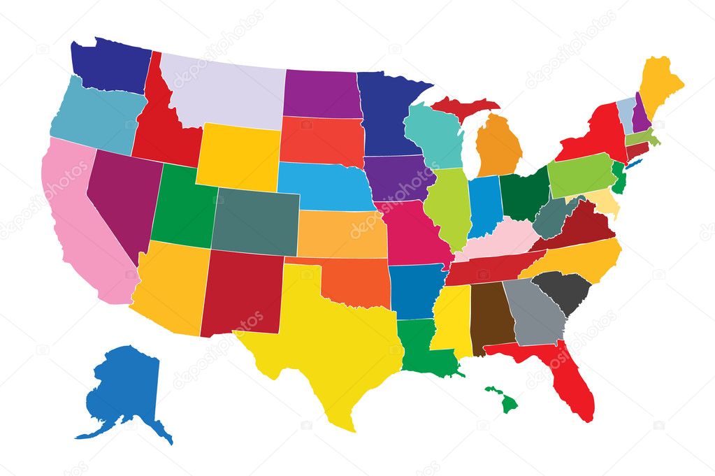
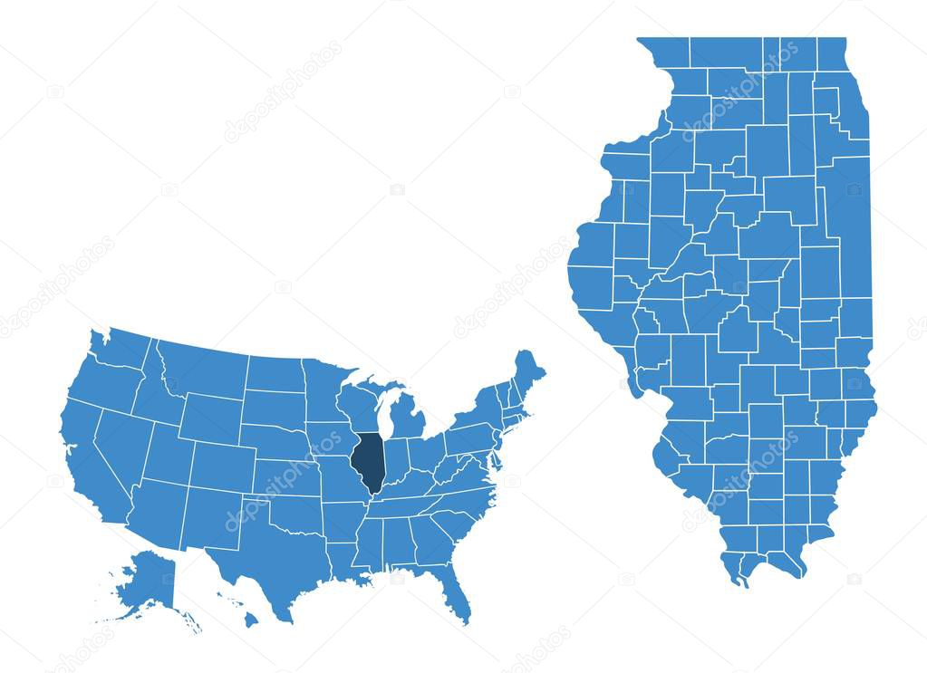
United States of America 50 states and 1 federal district. Set of US states maps.
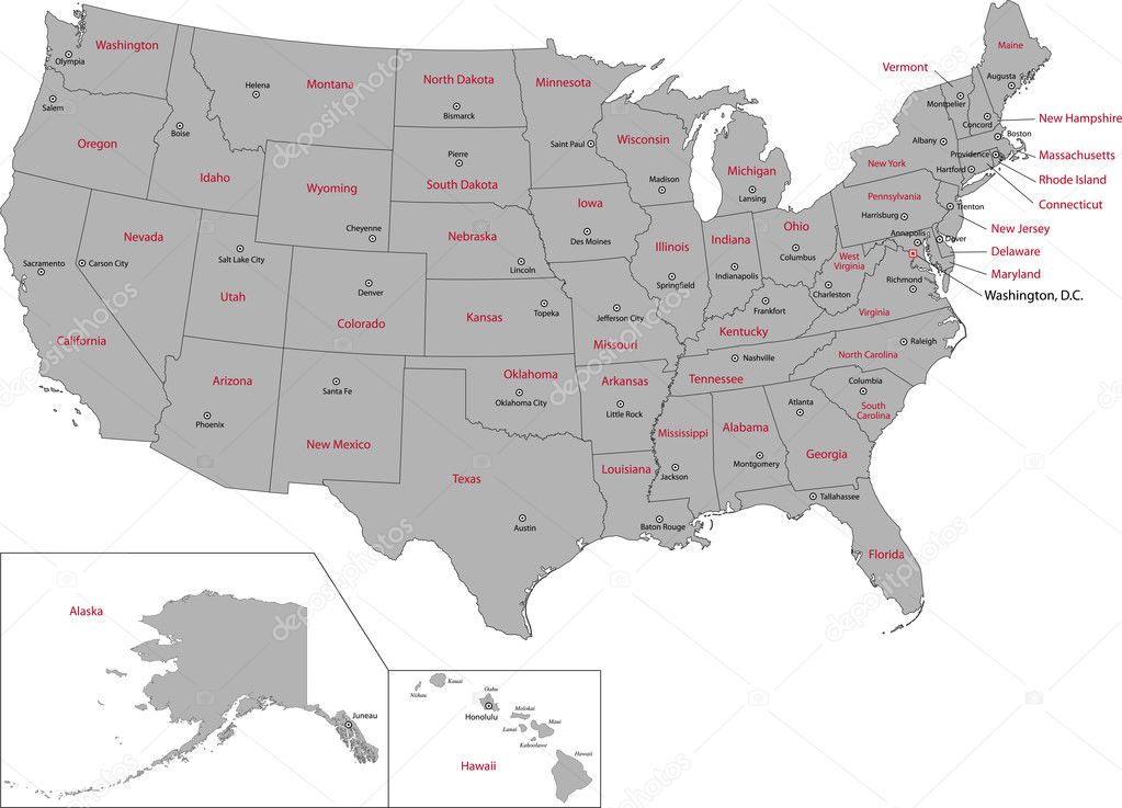
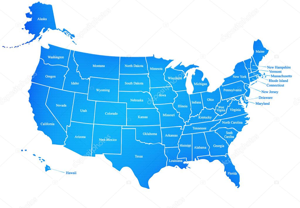
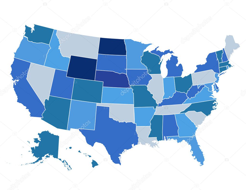
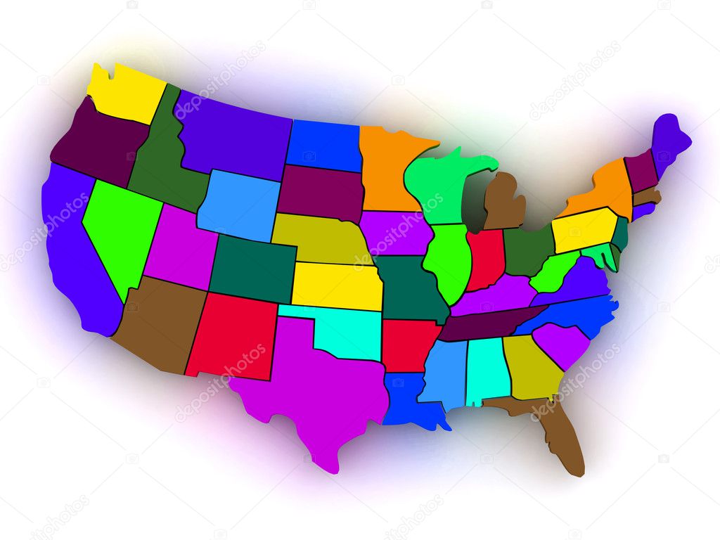
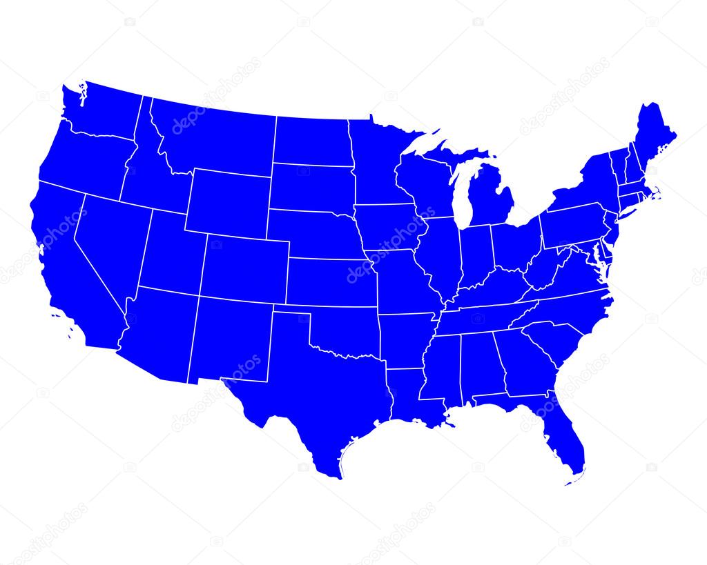
Map of The United States of America USA with States Name in Blue Color Illustration on White Background
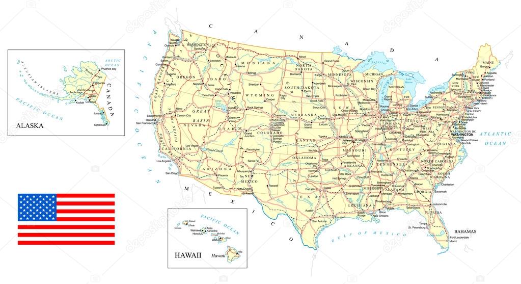
Map contains topographic contours, country and land names, cities, water objects, roads, railways.

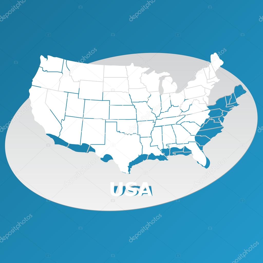
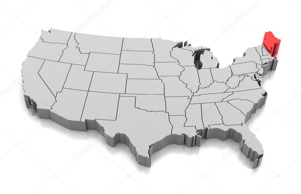
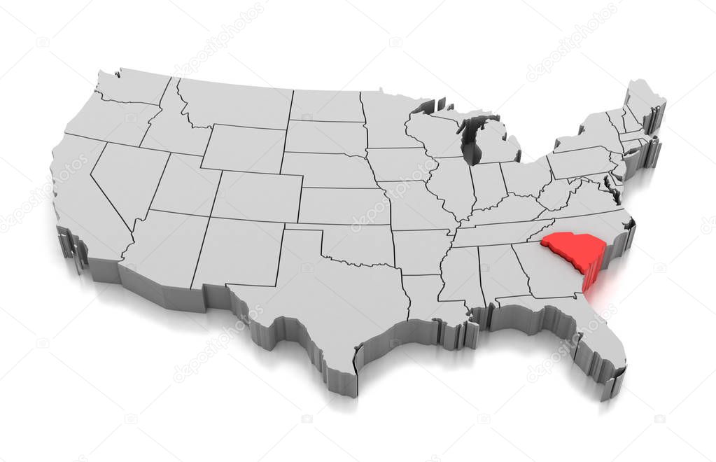
Political map of United States with all states where North Carolina is pulled ou

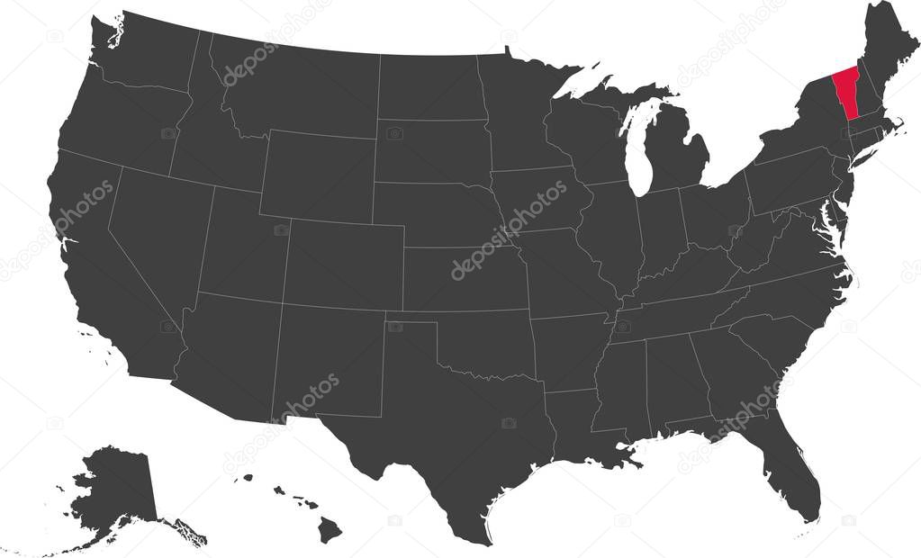
Map of the United States of America split into individual states. Highlighted state of Vermont.


US election map. American Presidential Election results infographics template. All the states are separated and named in the layer panel.
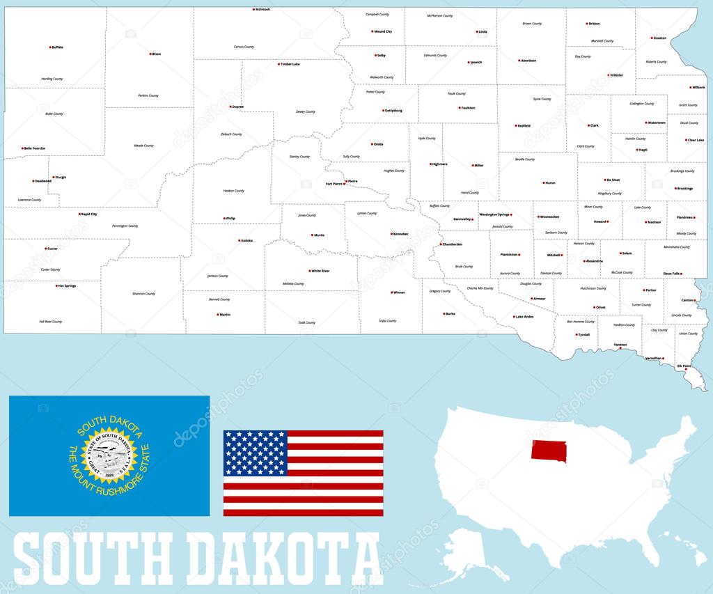
A large and detailed map of the State of South Dakota with all counties and county seats.

United States, Census regions and divisions, political map. Region definition widely used for data collection and analysis. The most commonly used classification system. English. Illustration. Vector.

Many voting stickers given to US voters in Presidential election formed in the shape of the USA to illustrate vote rights
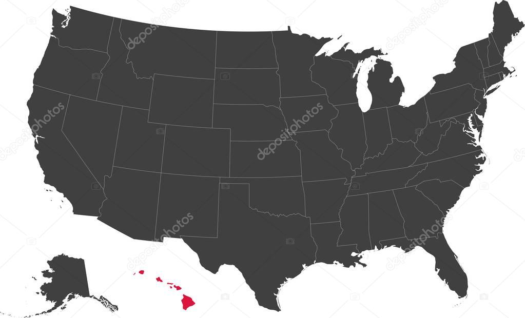
Map of the United States of America split into individual states. Highlighted state of Hawaii.
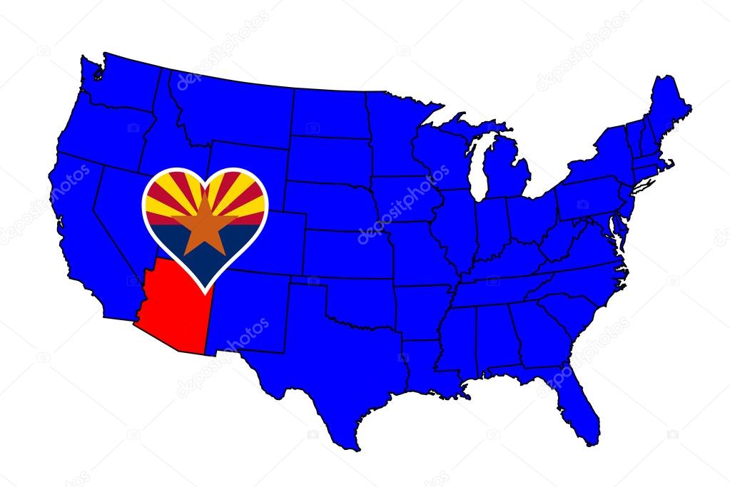
Arizona state outline and icon inset set into a map of The United States of America
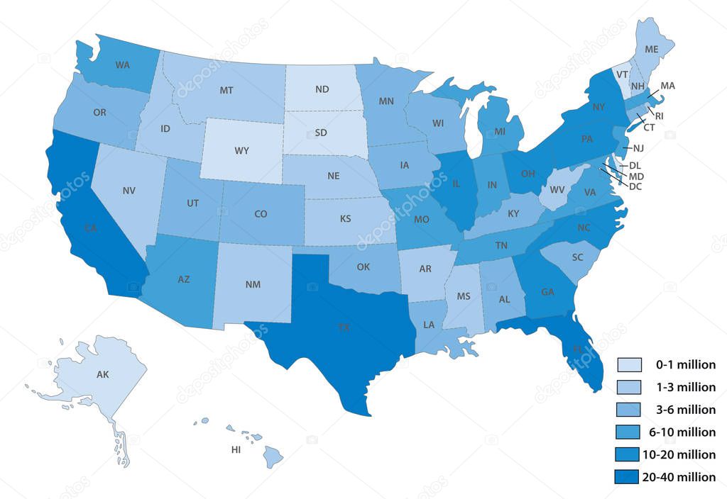
Population Growth Change United States of America 3d Illustrated Map
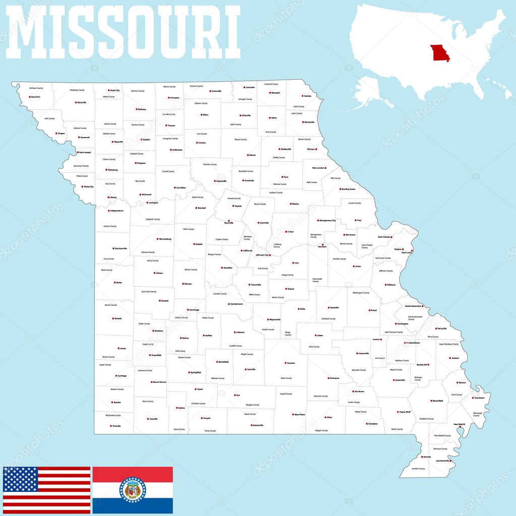
A large and detailed map of the State of Missouri with all counties and county seats.
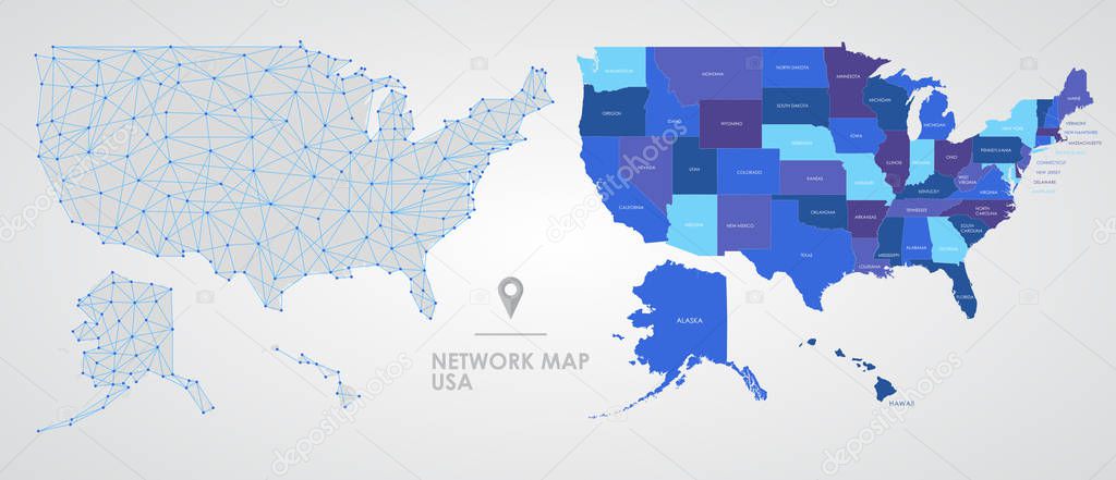
Telecommunications network of the USA, Abstract mesh polygonal geographic map, detailed map of the states of America blank for design

Hand drawn vector map of the United States of America. Sketch illustration with all 50 states
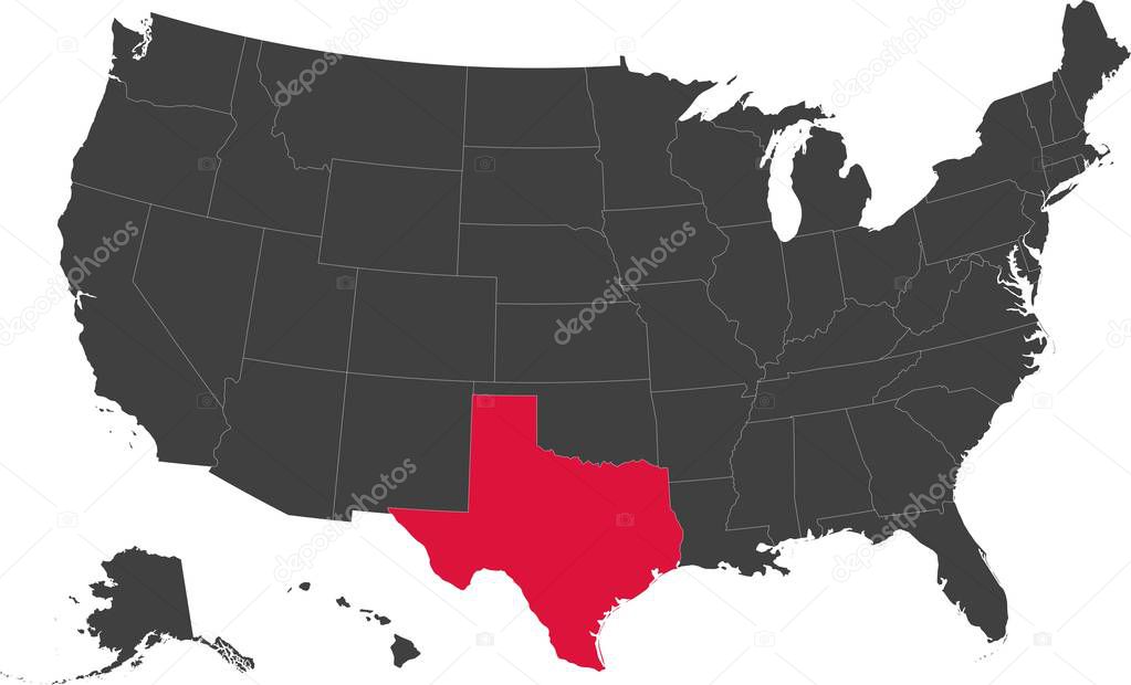
Map of the United States of America split into individual states. Highlighted state of Texas.
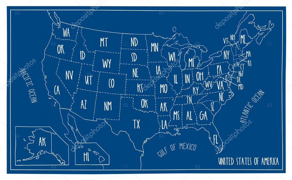
Hand drawn vector map of the USA. Blueprint style cartography of United States of America including all the 50 states.


3d Render of the United States Highlighting Michigan

Political map of United States with all states where Michigan is pulled ou


Poster map of United States of America with state names on the white background. Black and white print map of USA for t-shirt, poster or geographic themes. Vector Illustration


![]()
 Italiano