

Blur in lesotho malealea street village near courtyard and coultivation field


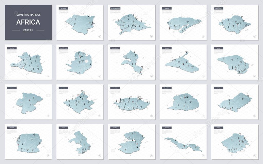
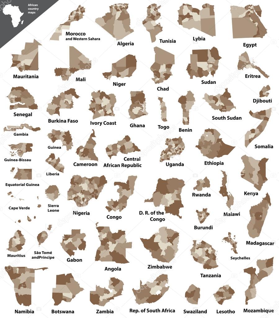
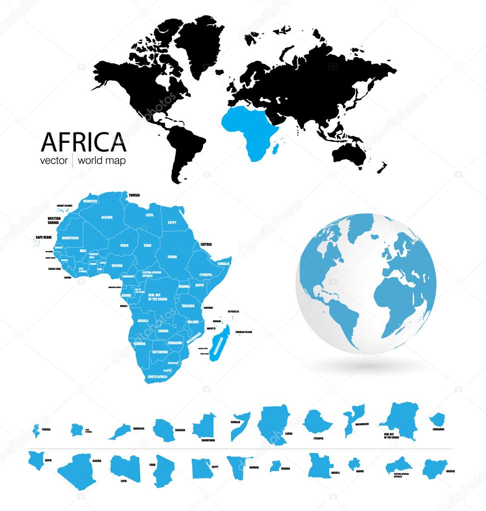
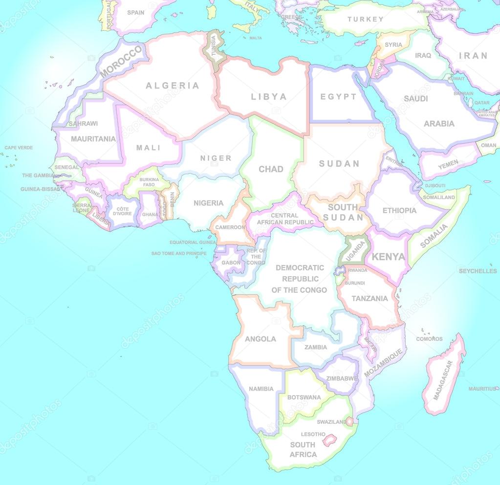
Vector isometric maps set - Africa continent. Maps of African countries with administrative division and cities. Part 1.

Clay pots. African traditional ethnic crockery. Tribal art. South Africa.

Flowering Dagga plant (Leonotis leonurus). Shot in Monk's Cowl nature reserve, Drakensberg Mountains, South Africa.

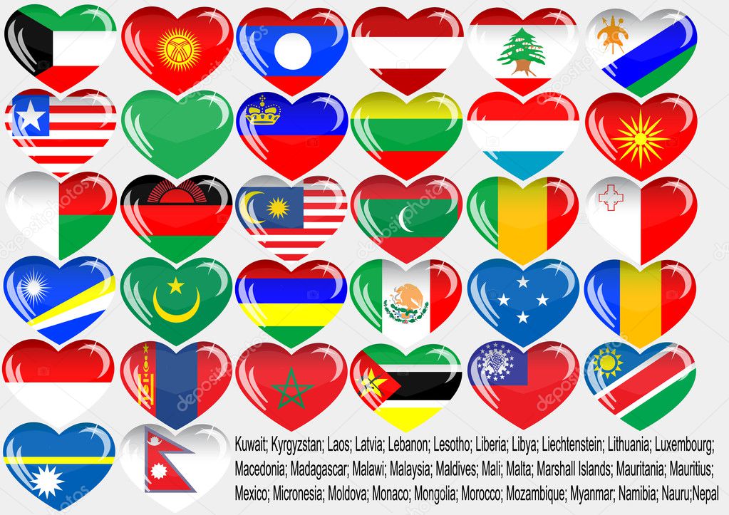
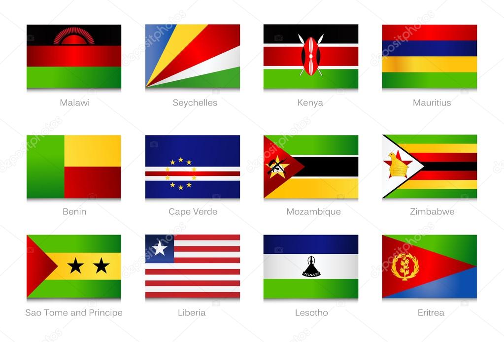
Set of detailed textile badges representing country flags of Africa

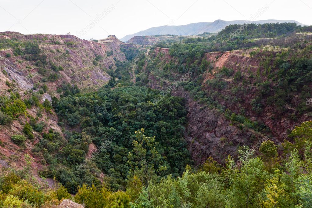
Mountain farm cattle landscape with white snow cloud mist green grass black burned fieds in color contrasts


Lesotho and United States flags together textile cloth, fabric texture

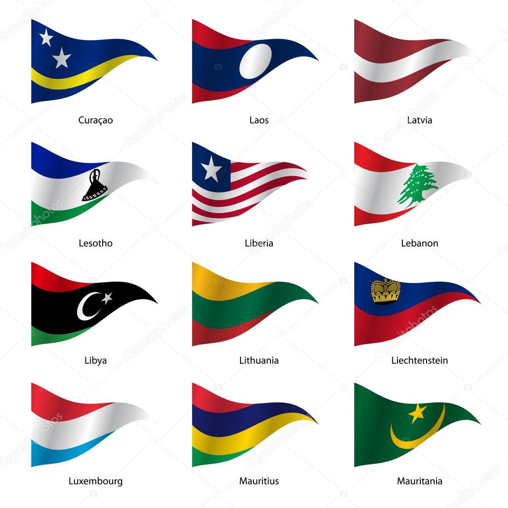
Set Flags of world sovereign states triangular shaped. Vector illustration

Highly detailed planet Earth with exaggerated relief and transparent oceans illuminated by sunlight. South Africa. 3D rendering. Elements of this image furnished by NASA
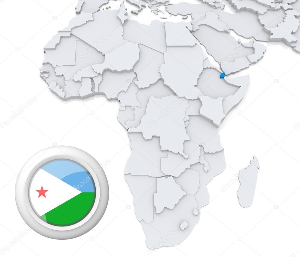
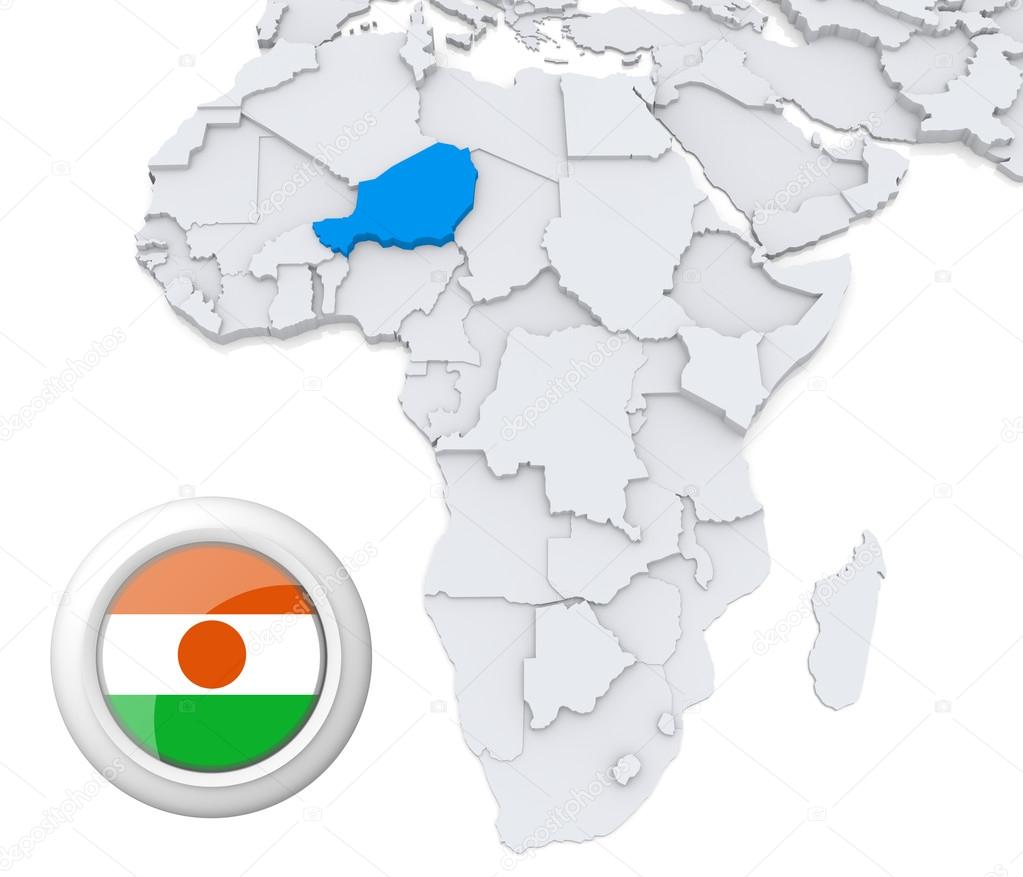
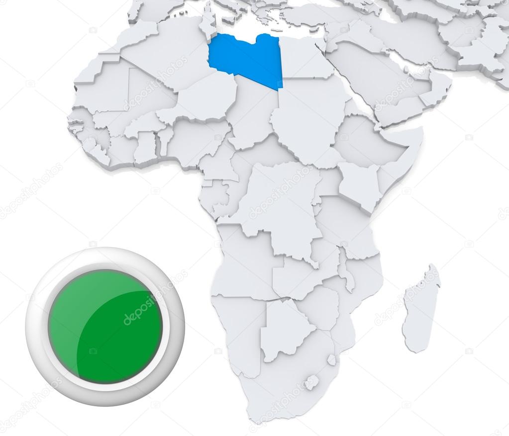
3D modeled Map of Africa with highlighted state of Djibouti with national flag

Blur in swaziland mlilwane wildlife nature reserve mountain and tree

Spiral Aloe.Aloe polyphylla isolated on white background
Blur in lesotho malealea street village near courtyard and coultivation field

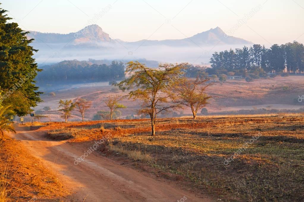
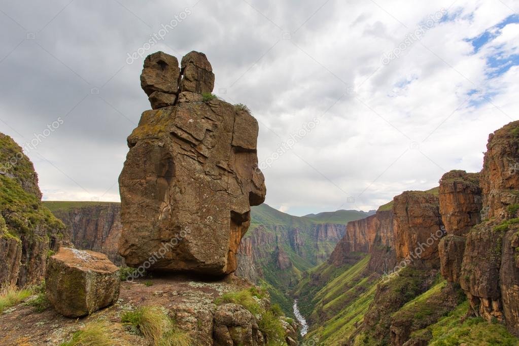
Table and chairs under umbrella on terrace against awesome mountains. Shot in Tsehlanyane Nature Reserve, Lesotho.
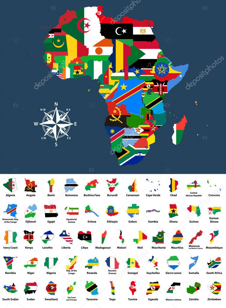
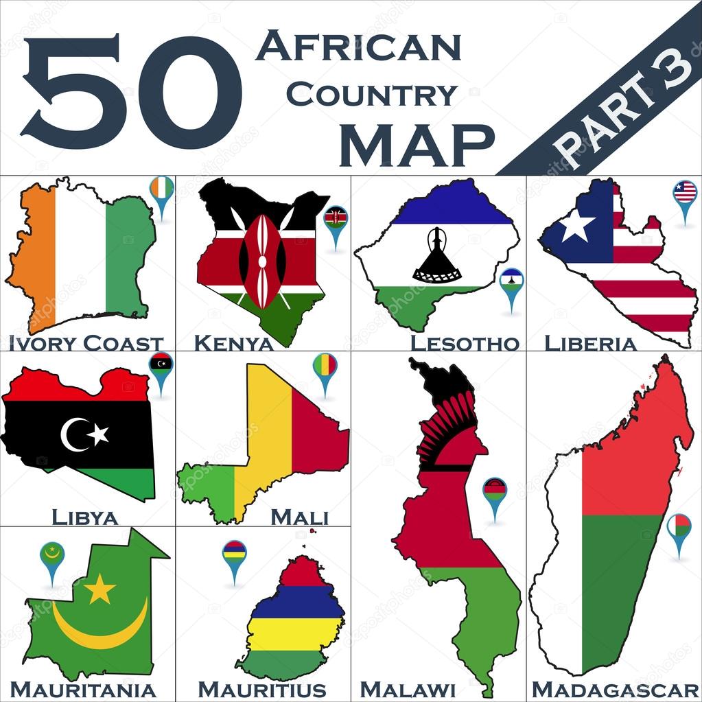
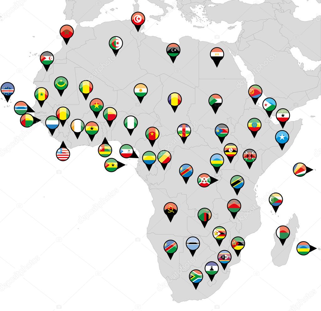
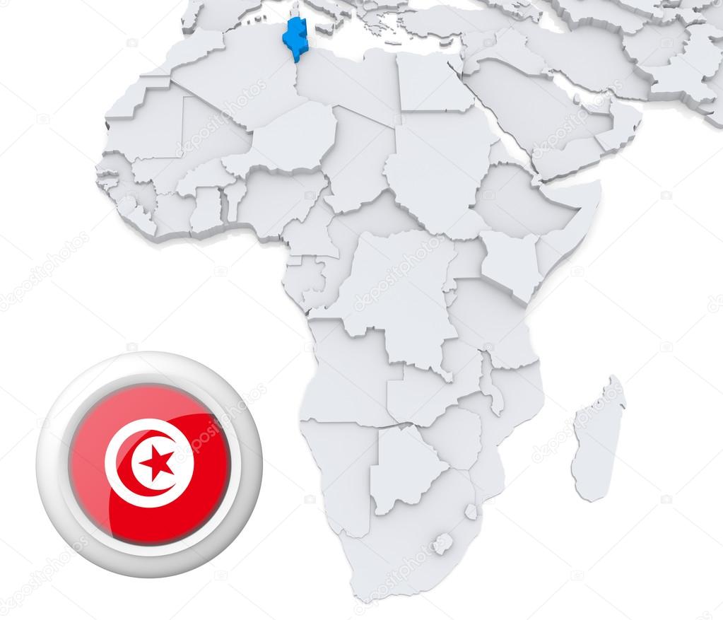
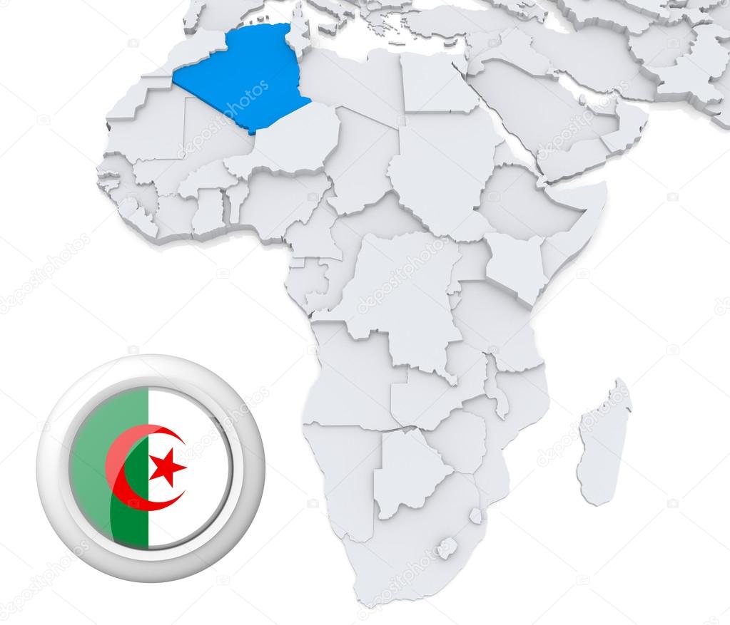
Vector map of Africa mixed with countries flags. Collection of all African maps combined with flags isolated on white background
Blur in swaziland mlilwane wildlife nature reserve mountain and tree

Blur in swaziland mlilwane wildlife nature reserve mountain and tree

Blur in south africa sky ocean isimagaliso nature reserve and pier

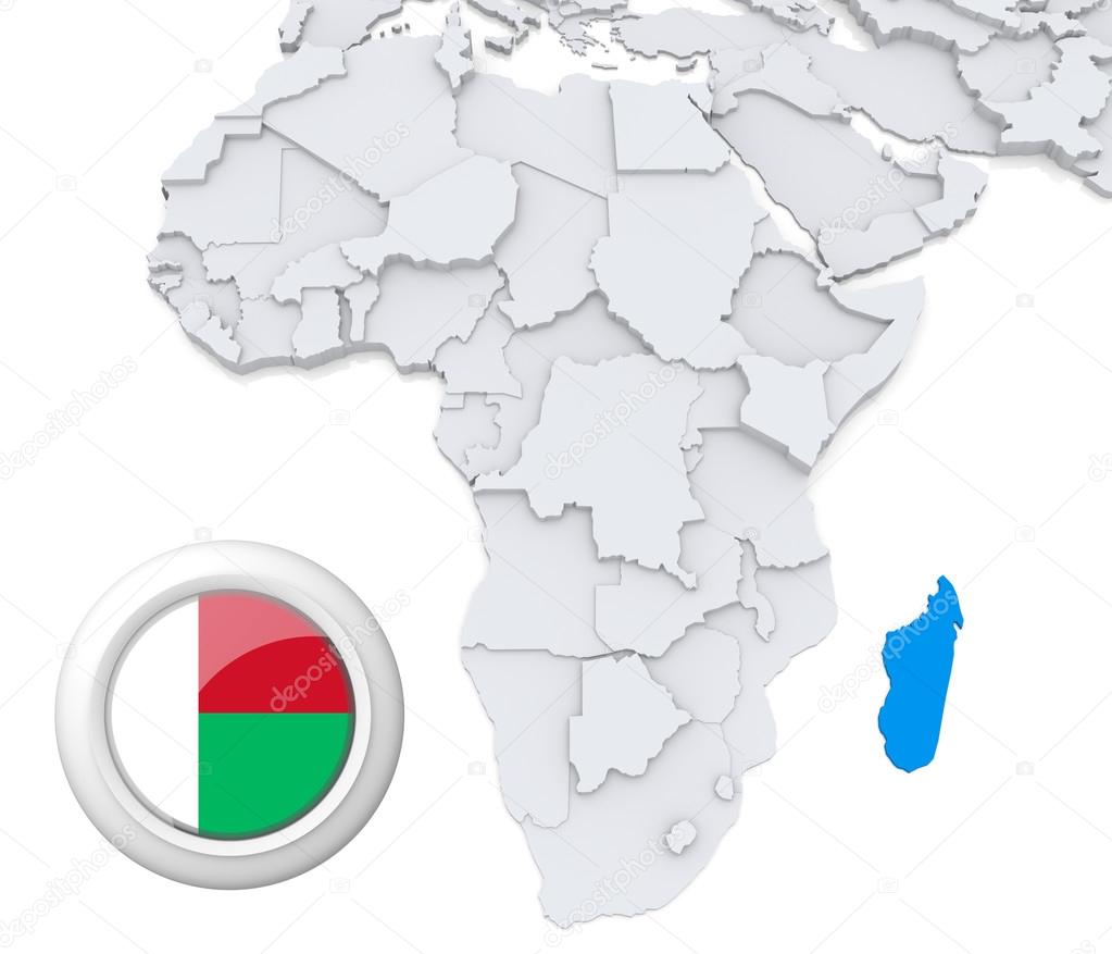
3D modeled Map of Africa with highlighted state of Madagascar with national flag
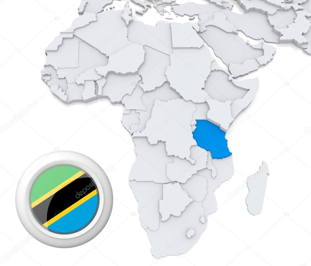
3D modeled Map of Africa with highlighted state of Tanzania with national flag
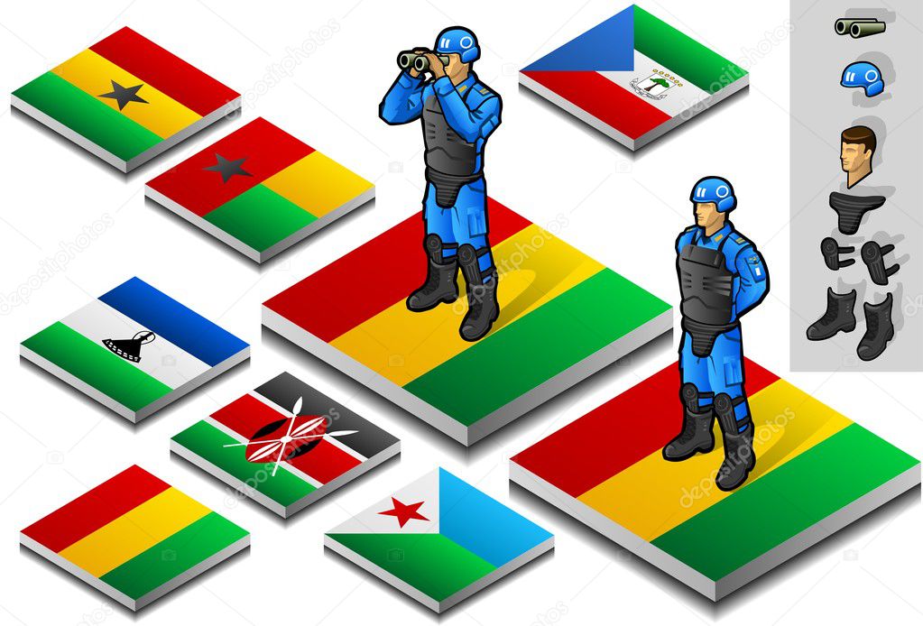
Isometric representation of international military observer on button flag
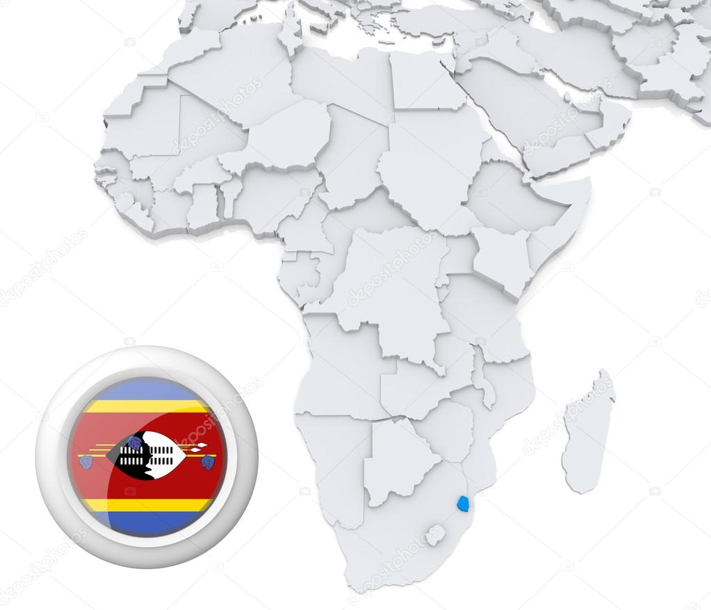
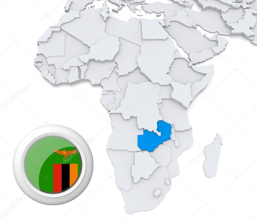
3D modeled Map of Africa with highlighted state of Swaziland with national flag
![]()
 Italiano