

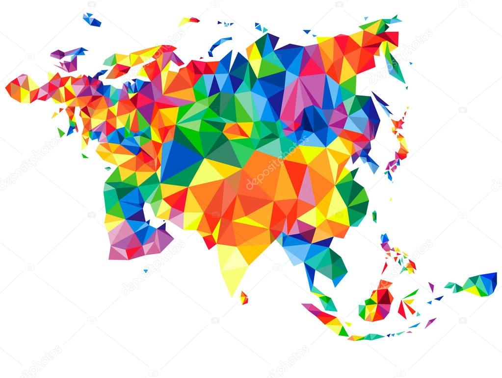
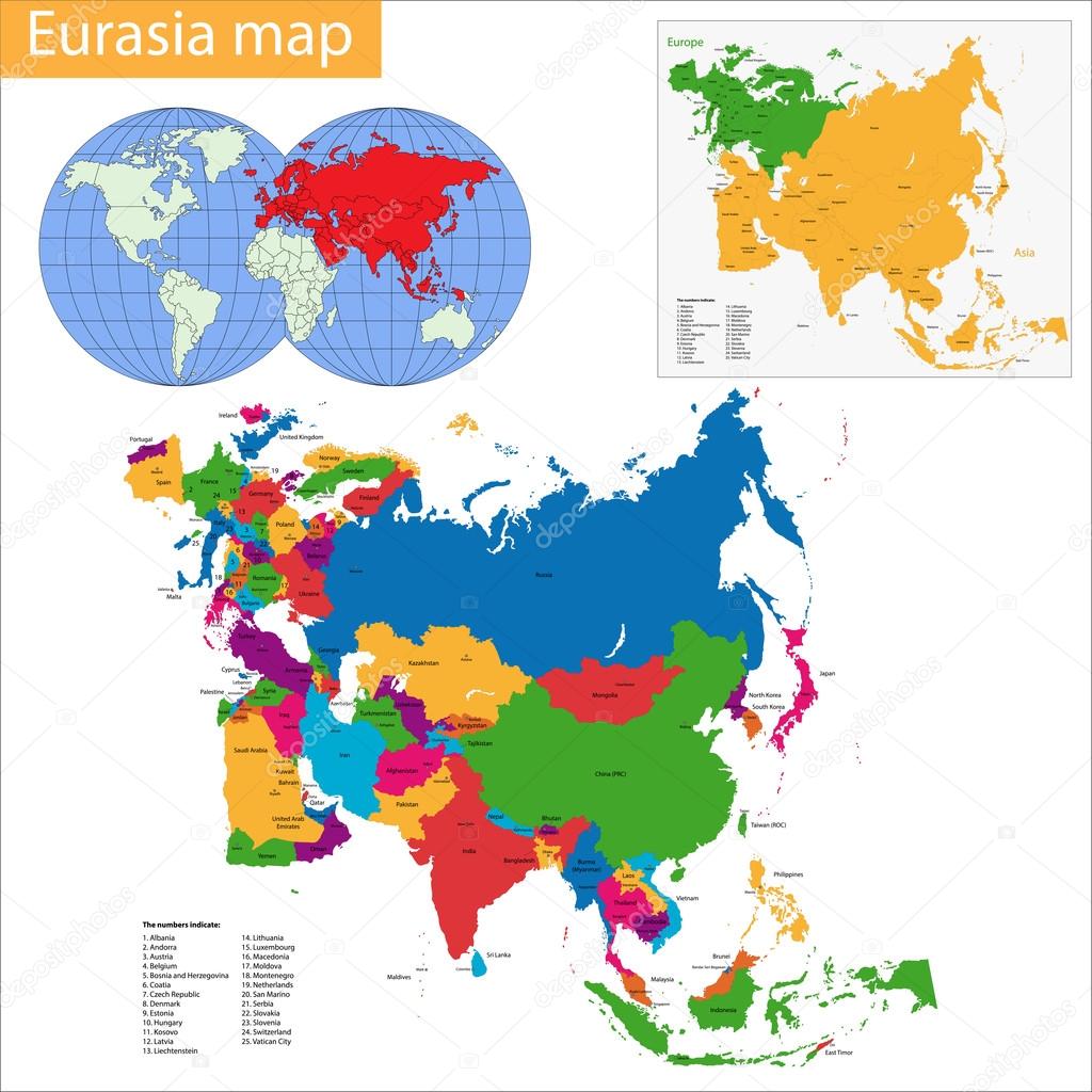
Abstract continent of Eurasia with islands from triangles. Origami style. Vector polygonal pattern for your design.
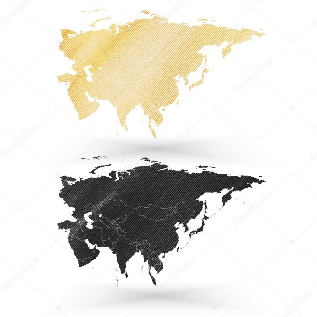
Eurasia map, wooden design texture, vector illustration.

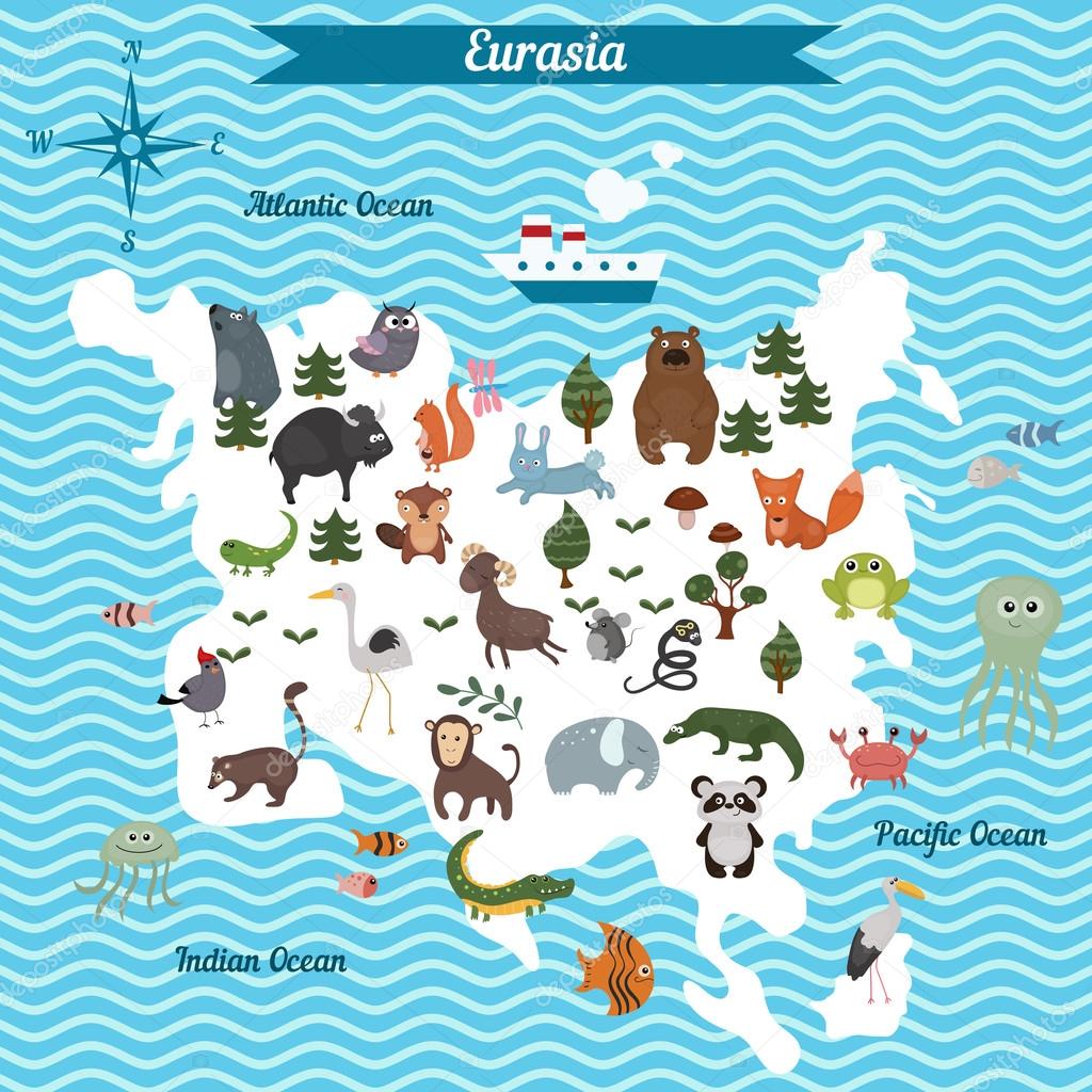
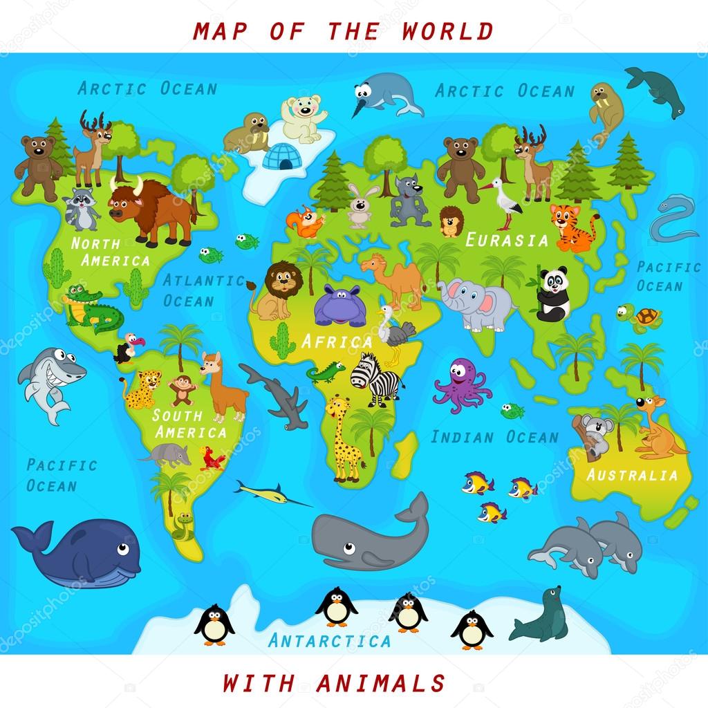
Cartoon map of Eurasia continent with different animals. Colorful cartoon illustration for children and kids. Eurasia mammals and sea life. Cartoon design concept for kids education,poster design.
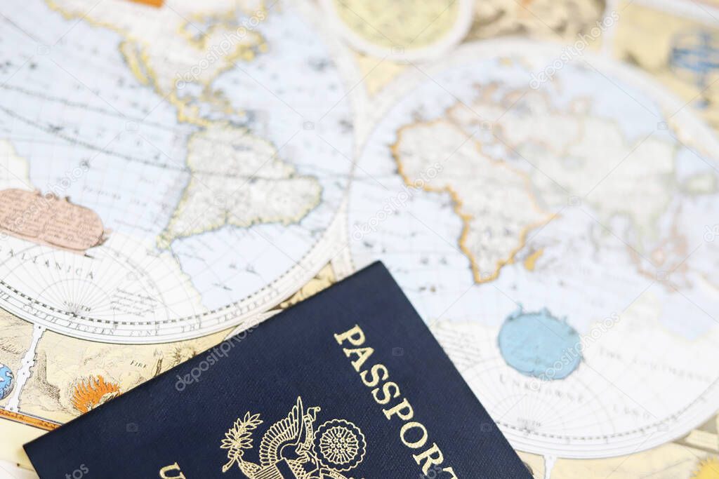
American passport and antique world map, travel image
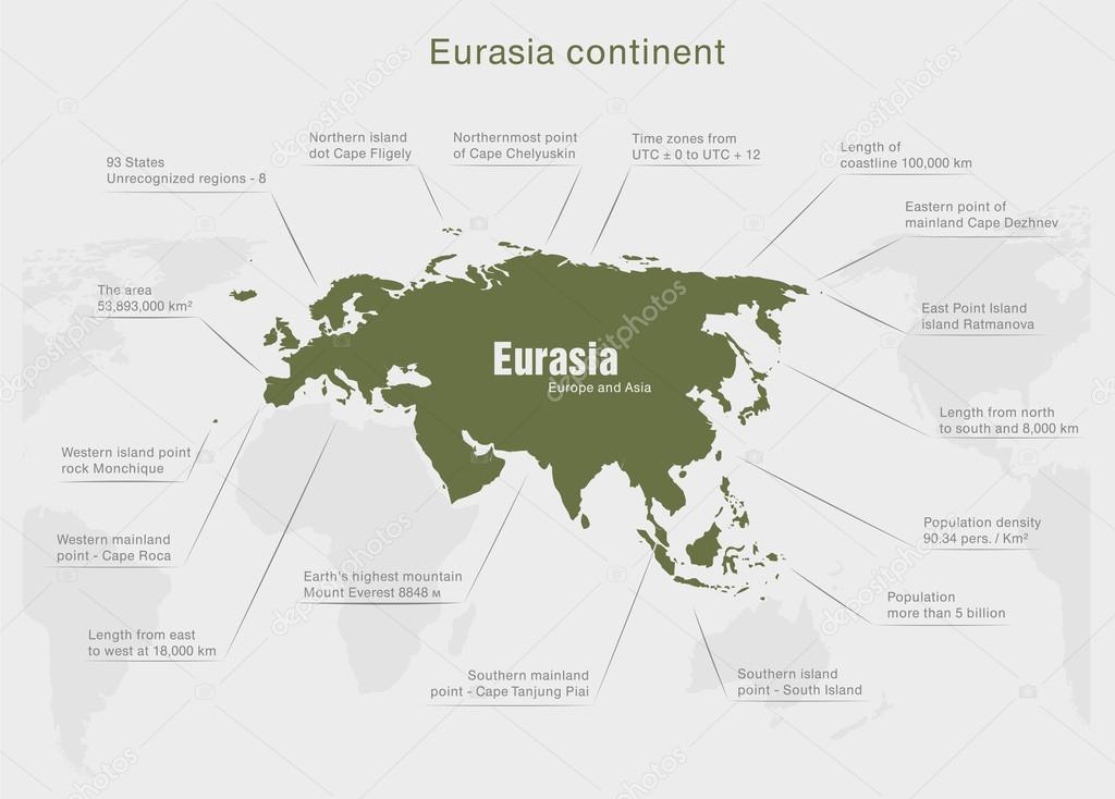
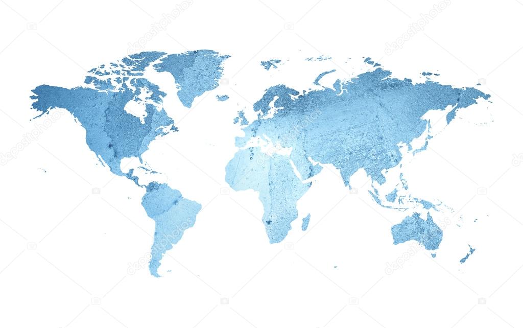
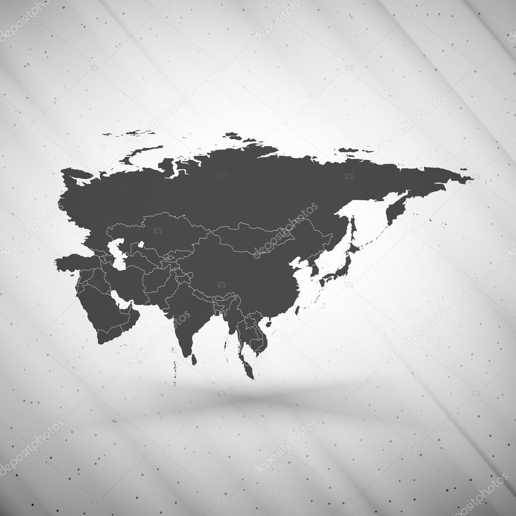
Eurasia map on gray background, grunge texture vector illustration.
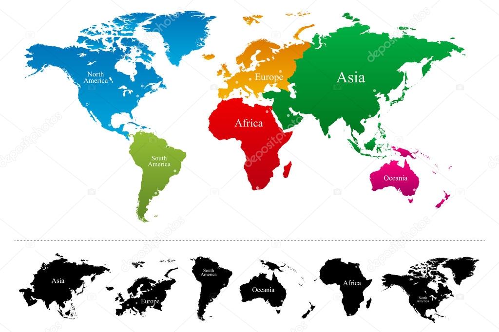
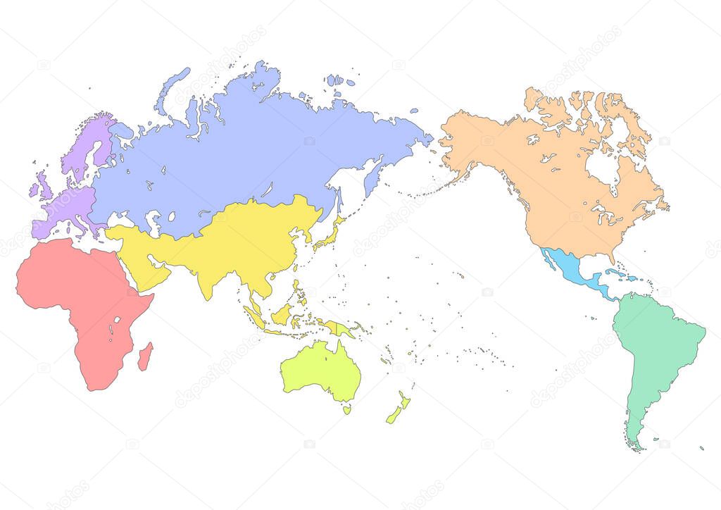
Vector World map with colorful continents Atlas - EPS
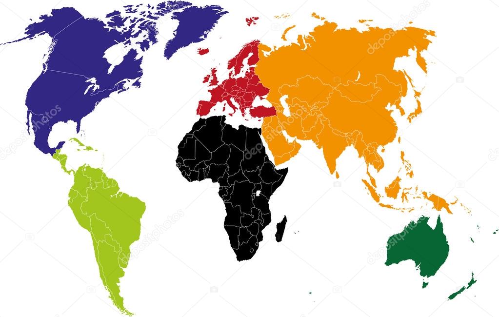
World map, colorful continents Atlas illustration. EPS10 vector file organized in layersa for easy editing.
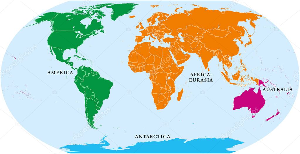
Four continents world map. America, Africa-Eurasia, Australia and Antarctica. Political map with shorelines and borders. Robinson projection. English labeling. Isolated on white background. Vector.
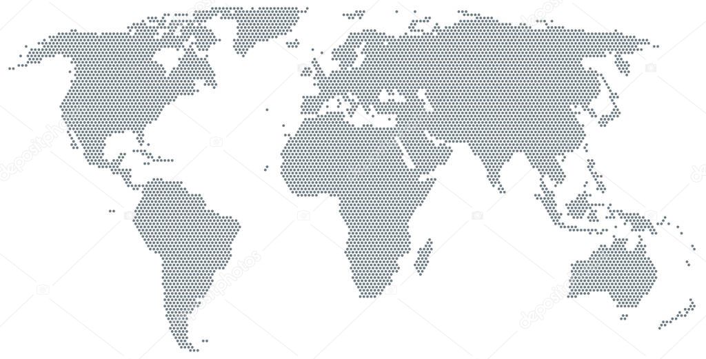
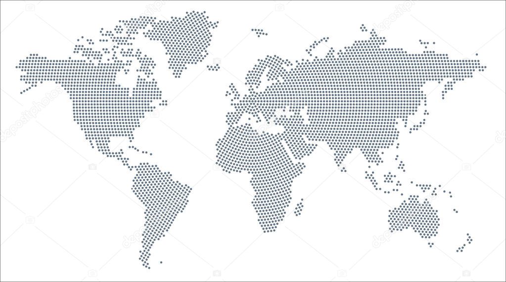
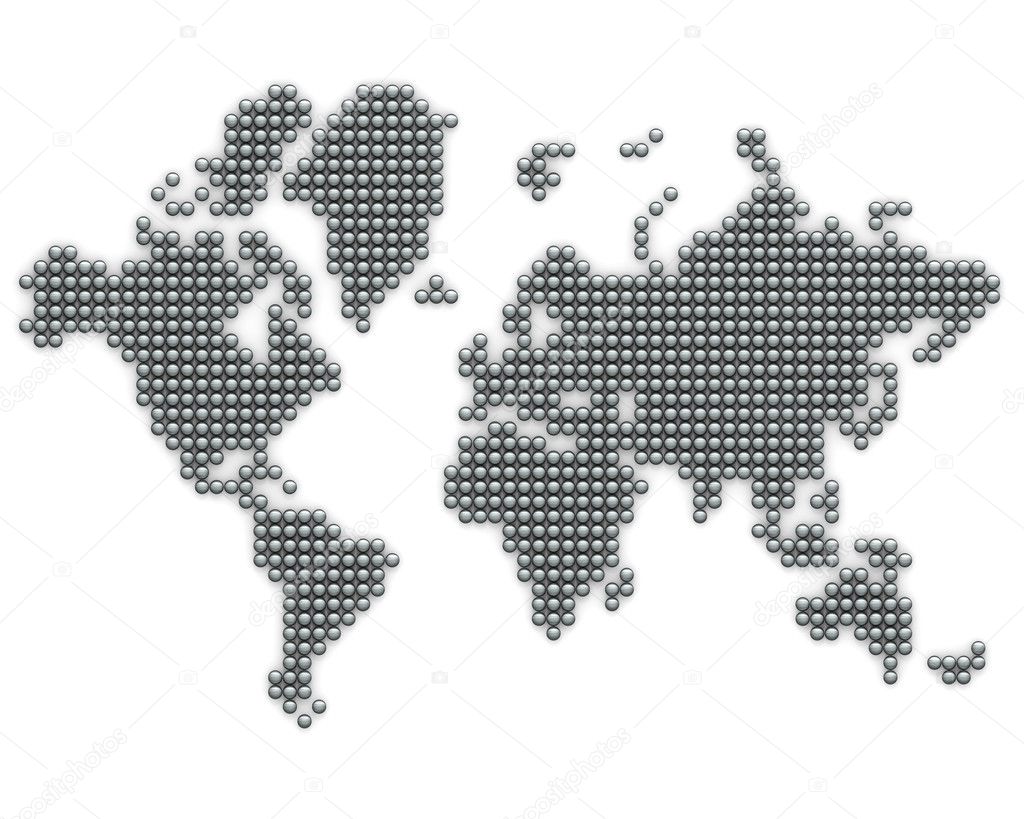
Map of the world made of gray dots. Dotted silhouette, outline and surface of the Earth under Robinson projection. Dots in a row. Isolated illustration on white background. Vector.
Vector illustration of the World Map fille with Grey Regular Dots in radial pattern.
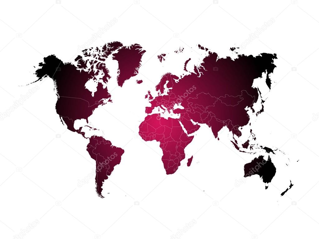
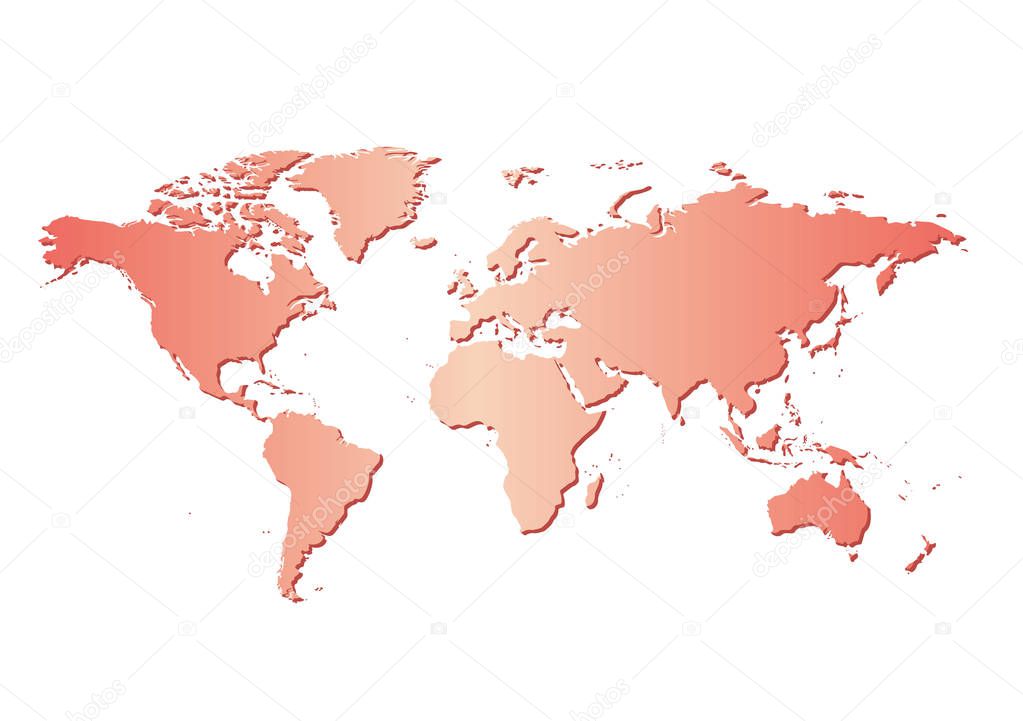
White background with red map of the world and gradient - vector
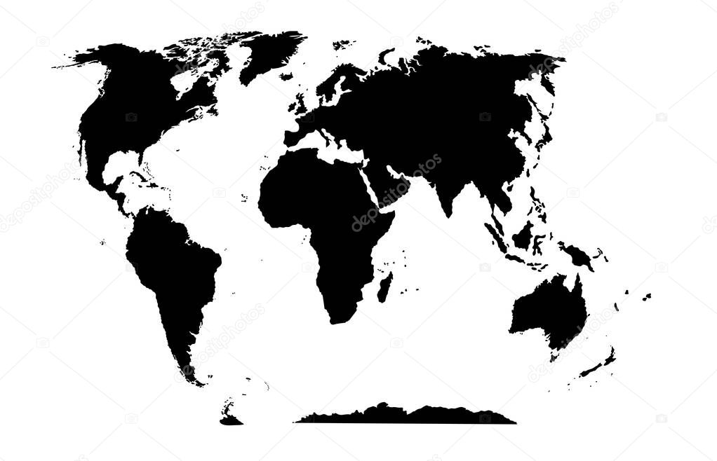
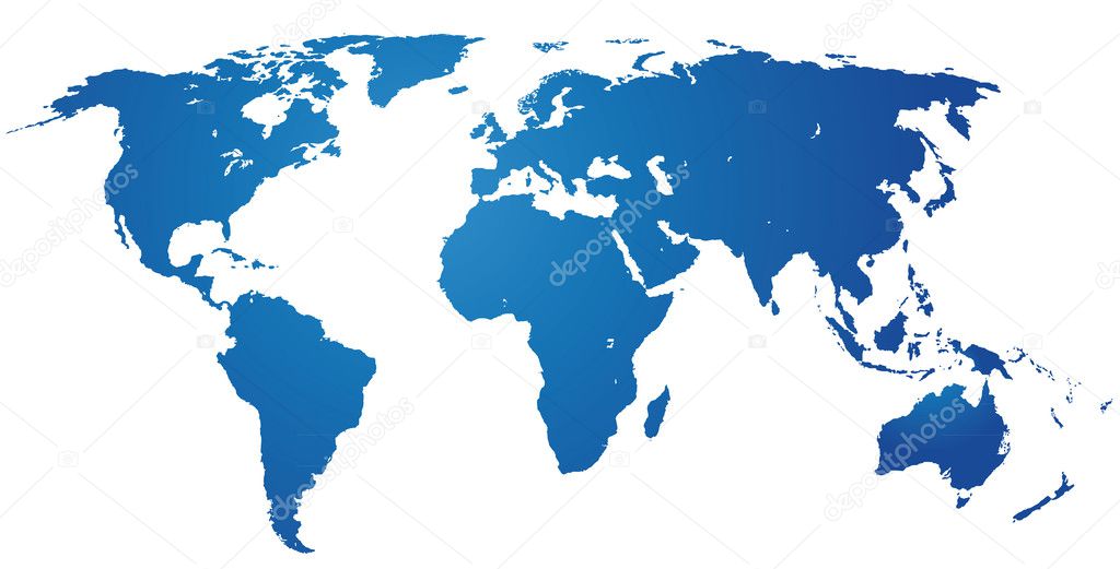
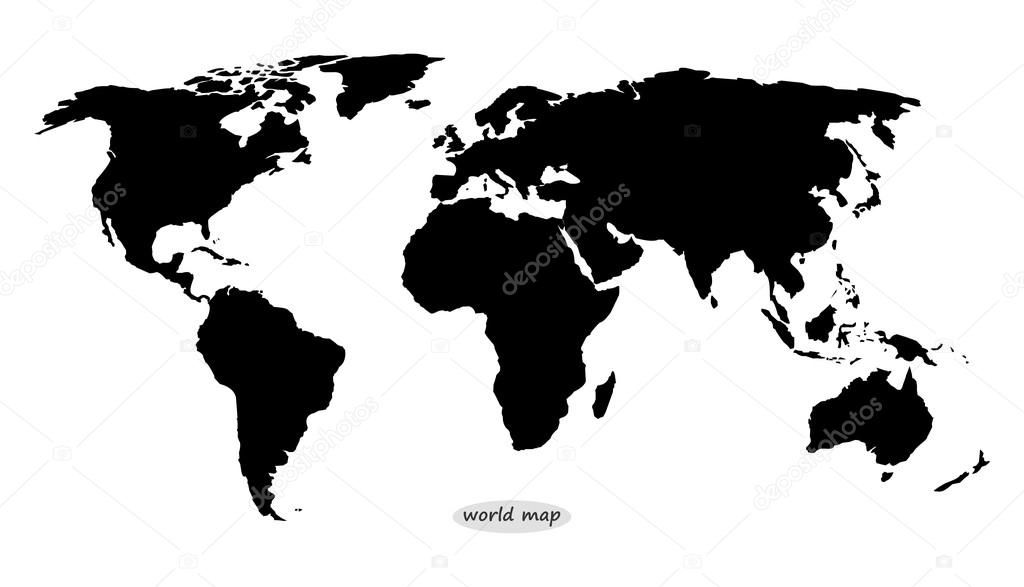
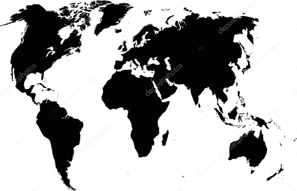
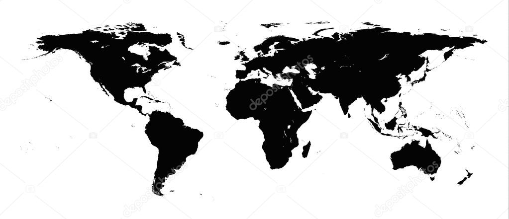
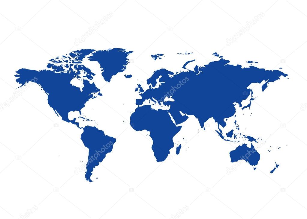
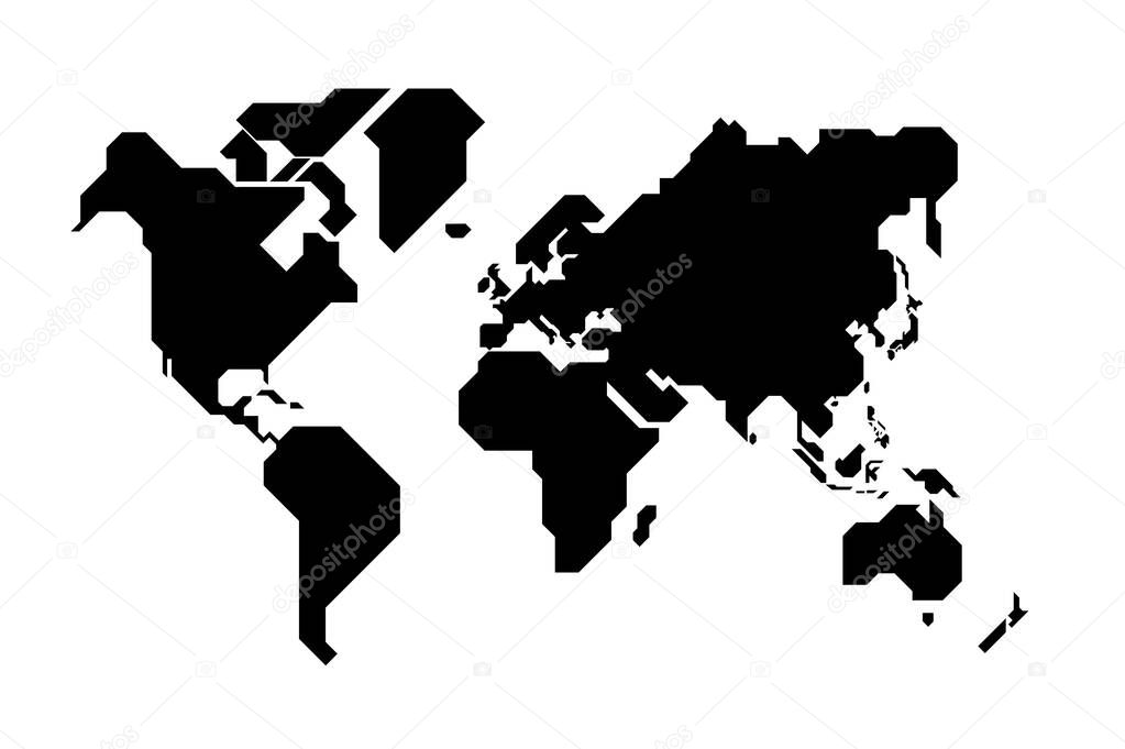
World map black silhouette on a white background. Vector image.
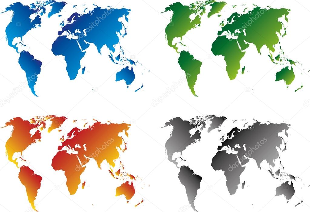
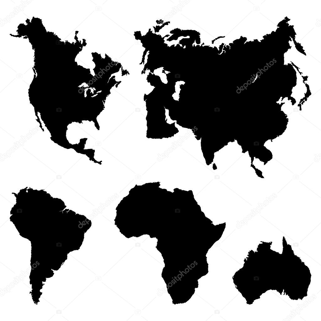
World map elements. Build your own geography info graphic collection. Vector illustration
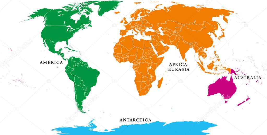
Four continents. World map with national borders. America, Africa-Eurasia, Australia and Antarctica. Political map under Robinson projection. English labeling. Isolated on white background. Vector.
Simplified world map drawn with sharp straight lines
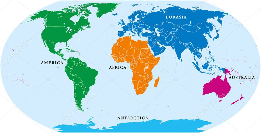
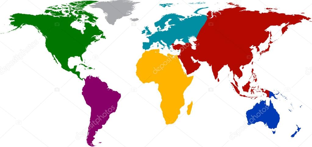
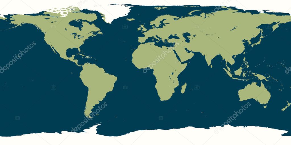
Five continents world, political map. Africa, America, Antarctica, Australia and Eurasia, with shorelines and borders. Robinson projection. English labeling. Isolated on white background. Vector.
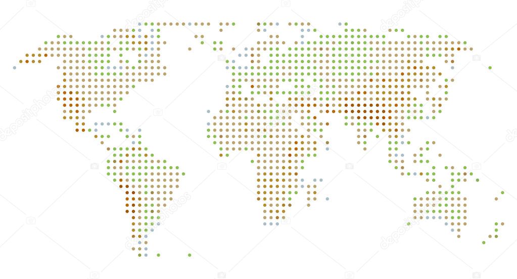
World map dot. Abstract colorful world map background. Vector eps10.
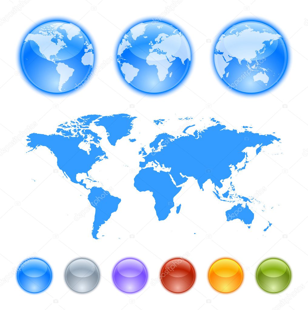
Earth globes creation kit. Contains a map, globe samples and globes to create your own earth globe.

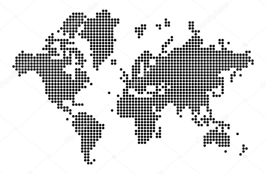
World map silhouette. World map in dots. Cartography and geography. Vector illustration
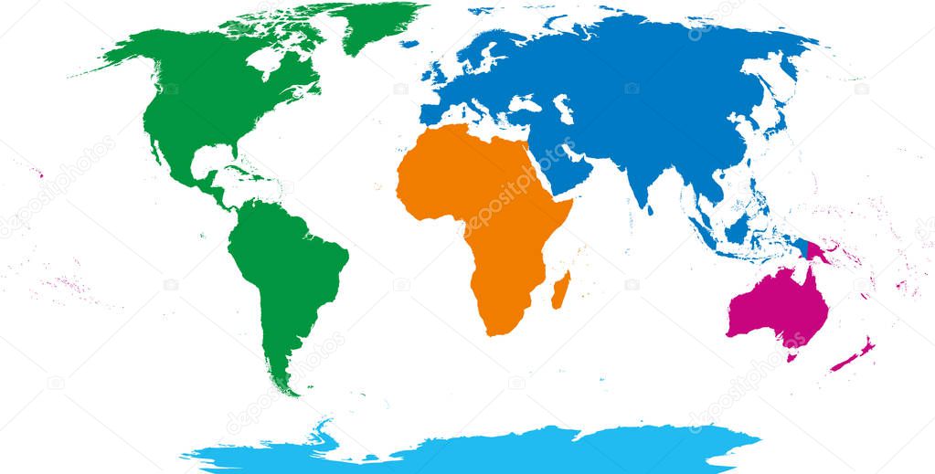
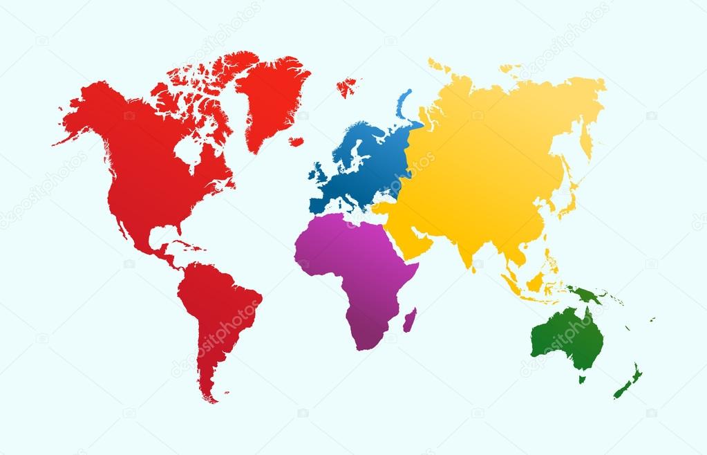
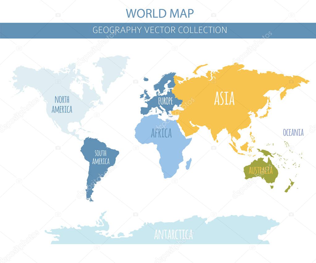
Five continents, world map. Africa, America, Antarctica, Australia and Eurasia. Outline and colored shapes under Robinson projection. Isolated on white background. Vector.
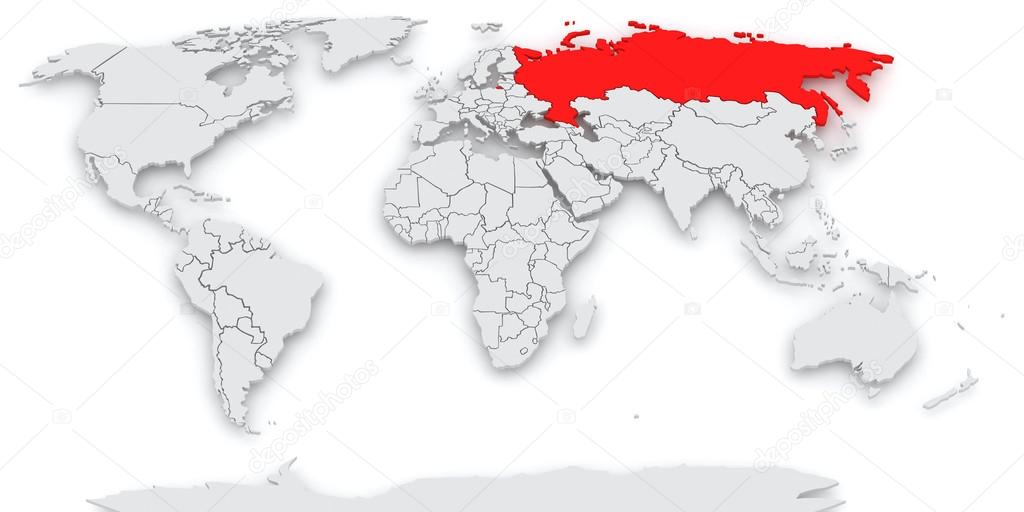
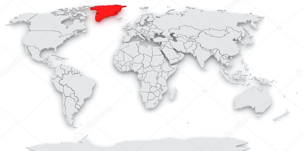
3d objects with blank copy spaces isolated on white background series

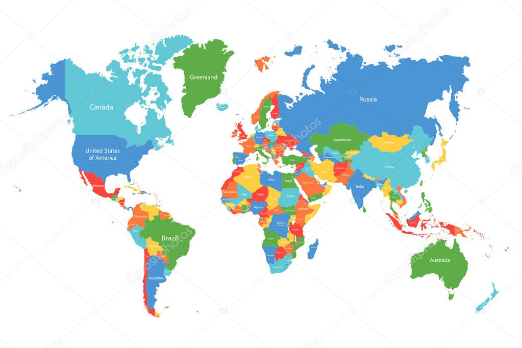
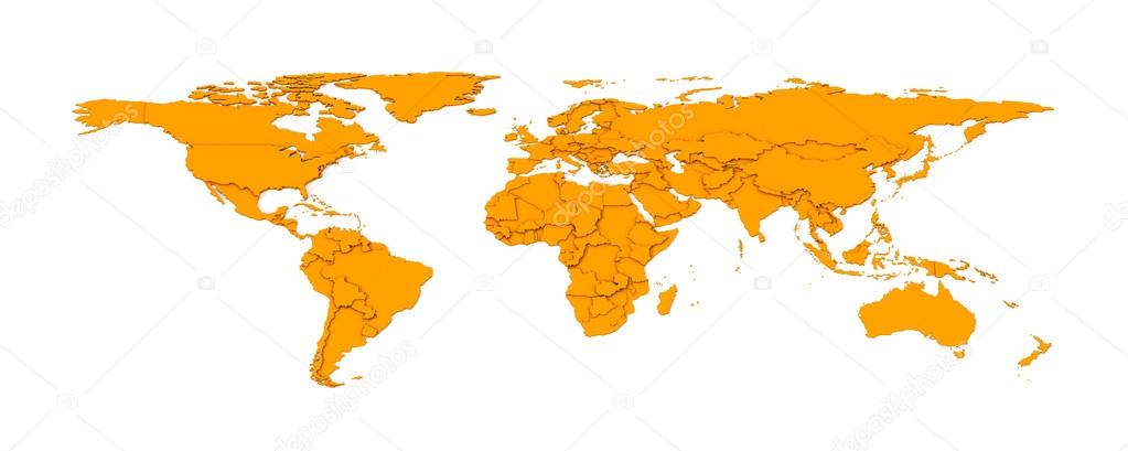
Vector world map. Colorful world map with countries borders. Detailed map for business, travel, medicine and education
![]()
 Italiano