

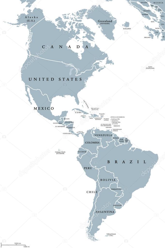
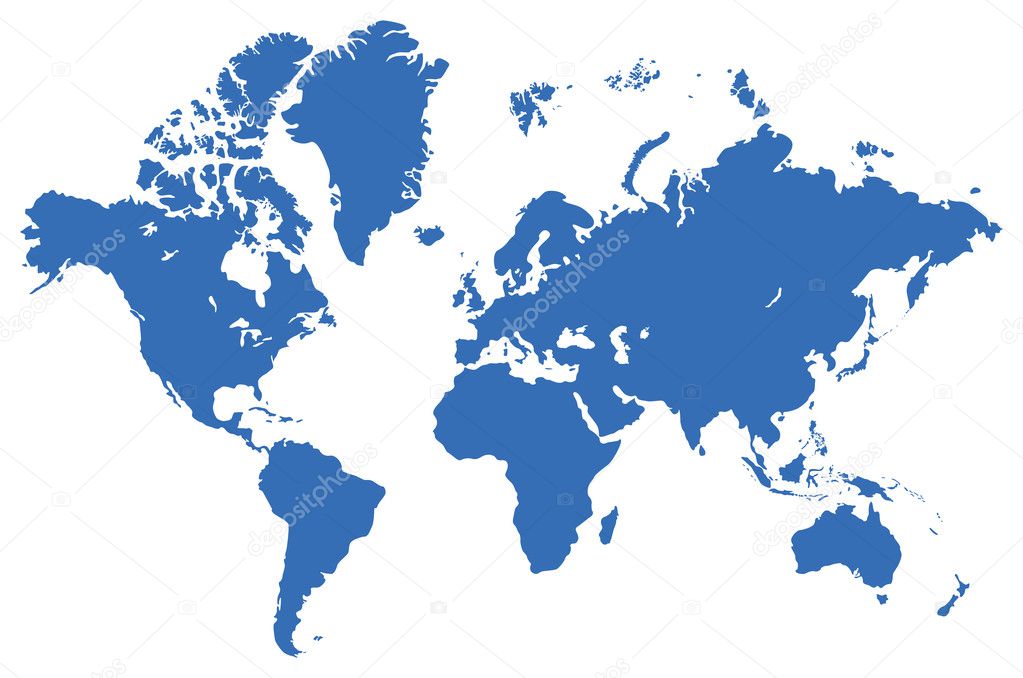
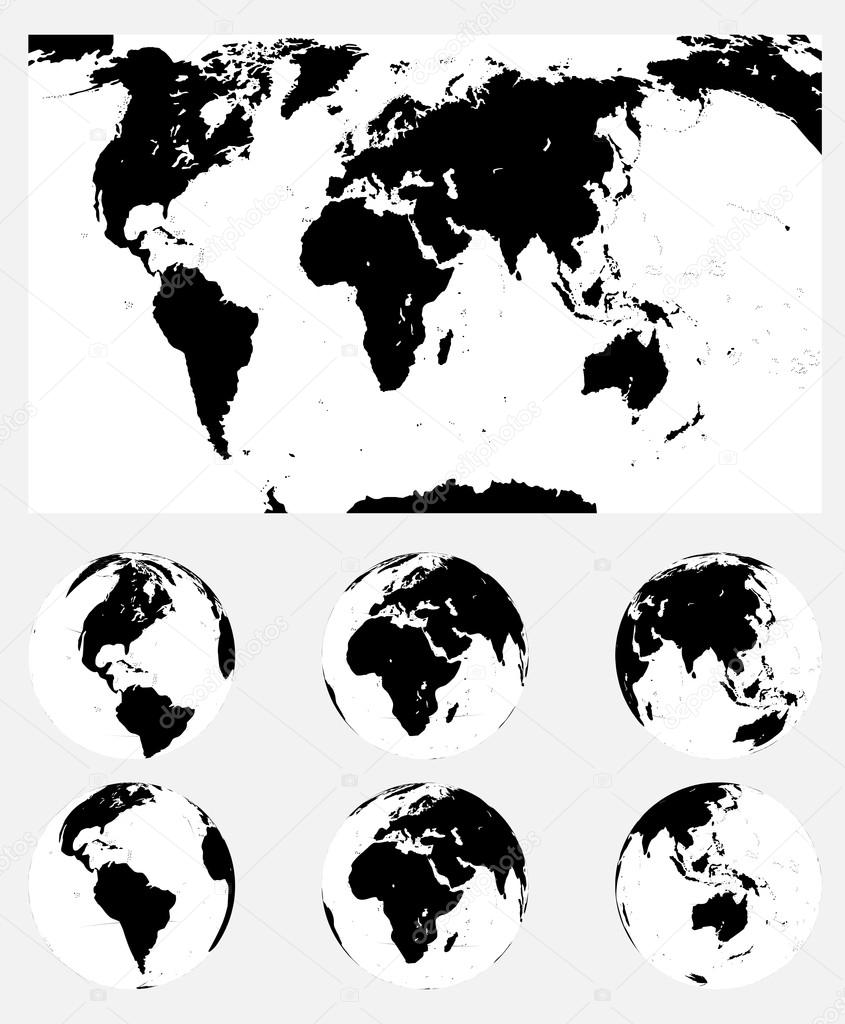
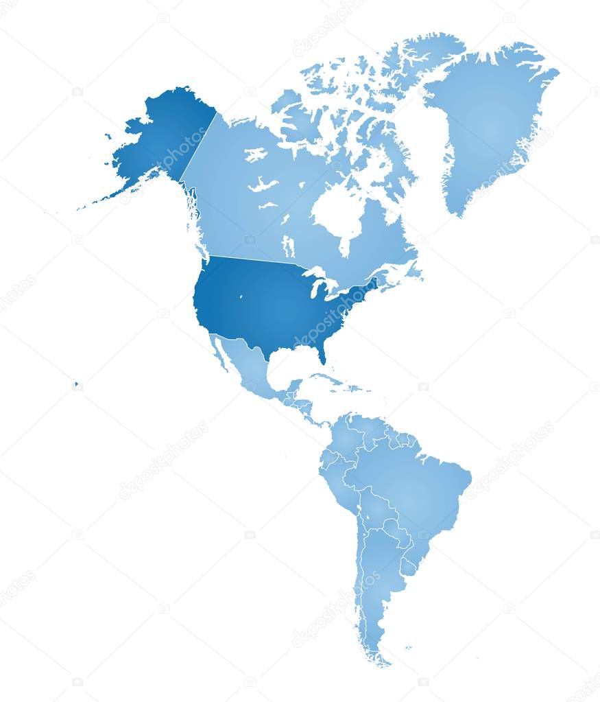
The Americas political map with countries and borders of the two continents North and South America. English labeling. Gray illustration on white background. Vector.
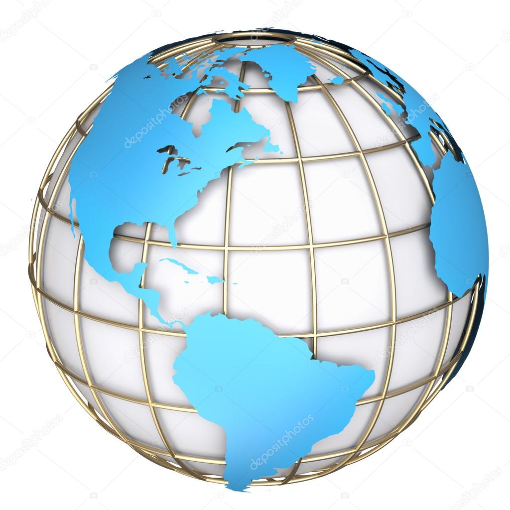
Earth globe, realistic 3 D rendering. Americas North and south view. On white background.
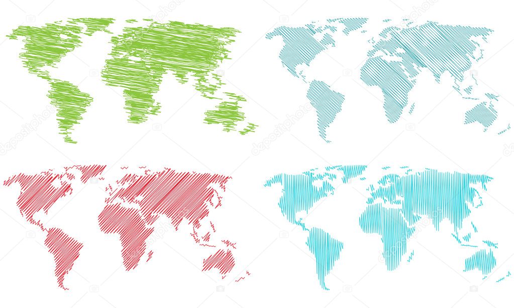
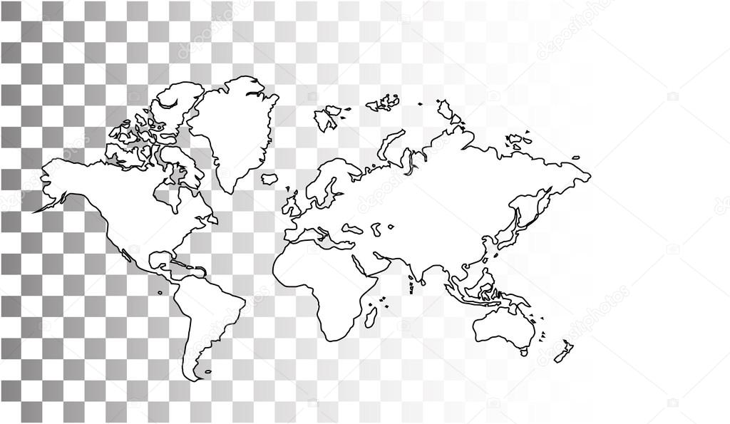
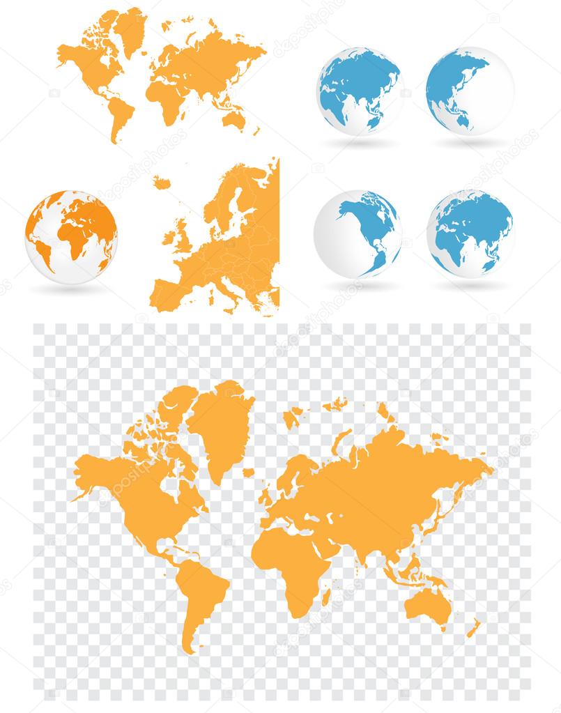
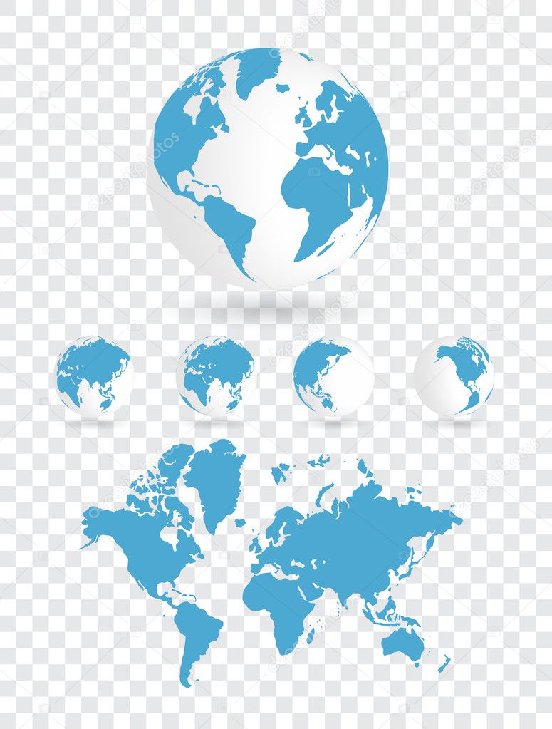
World banner set vector illustration. All elements are layered separately in vector file.

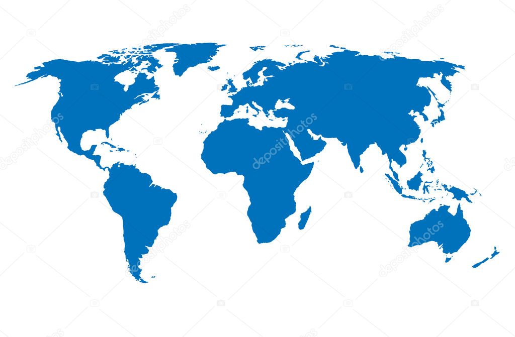
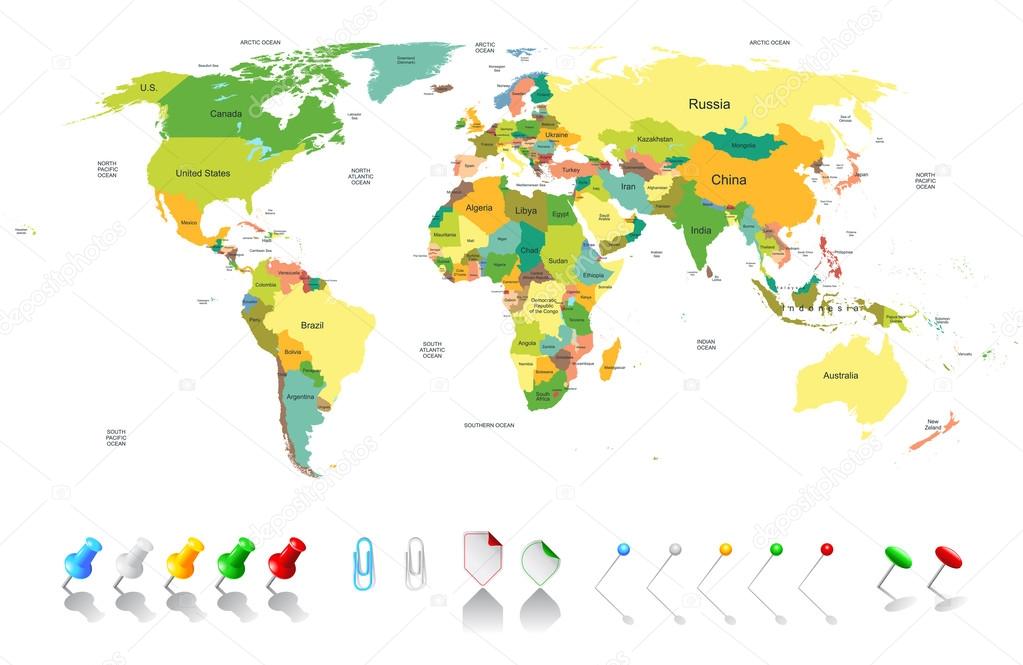
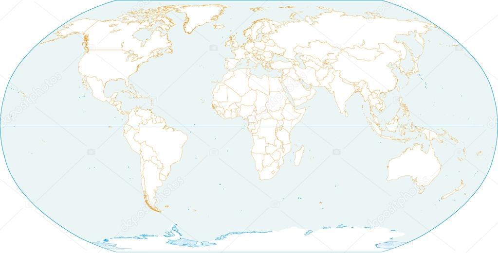
Political Physical Topographic Colored World Map Vector illustration
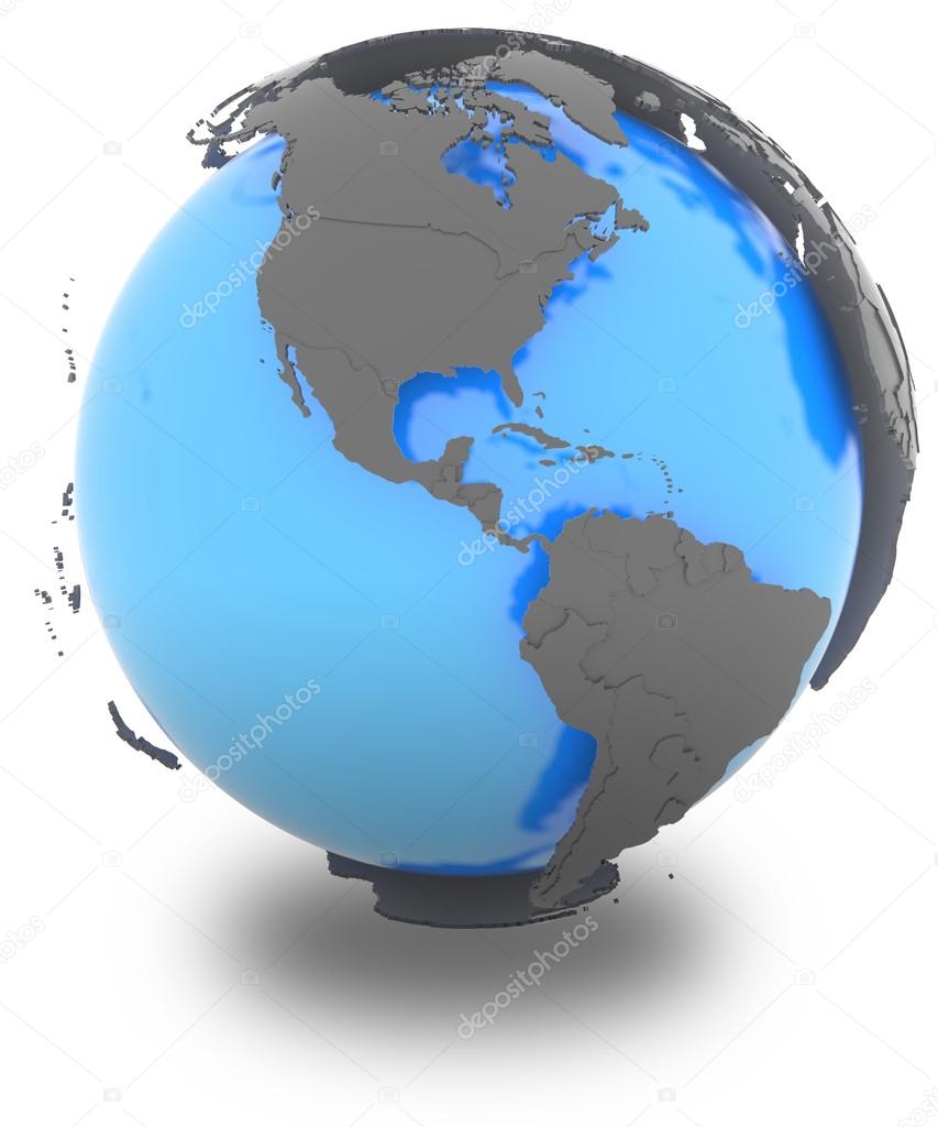
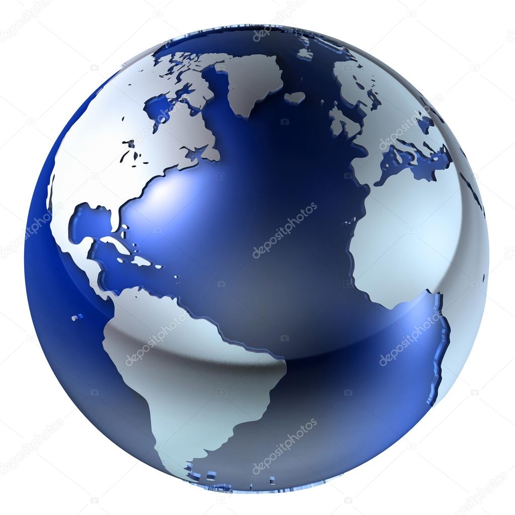
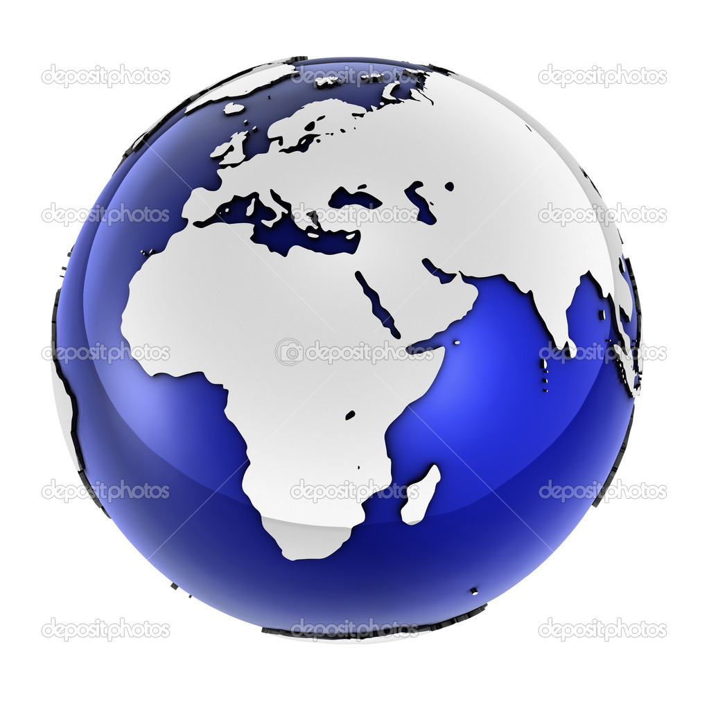
Americas standing out of blue Earth in grey, isolated on white background
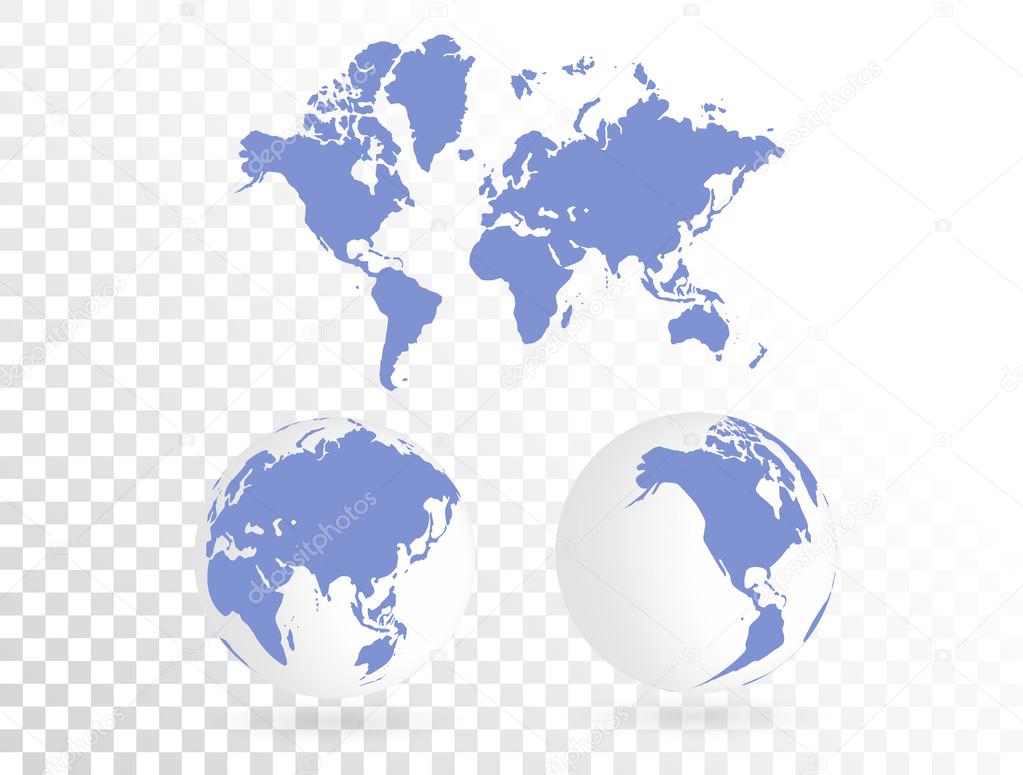

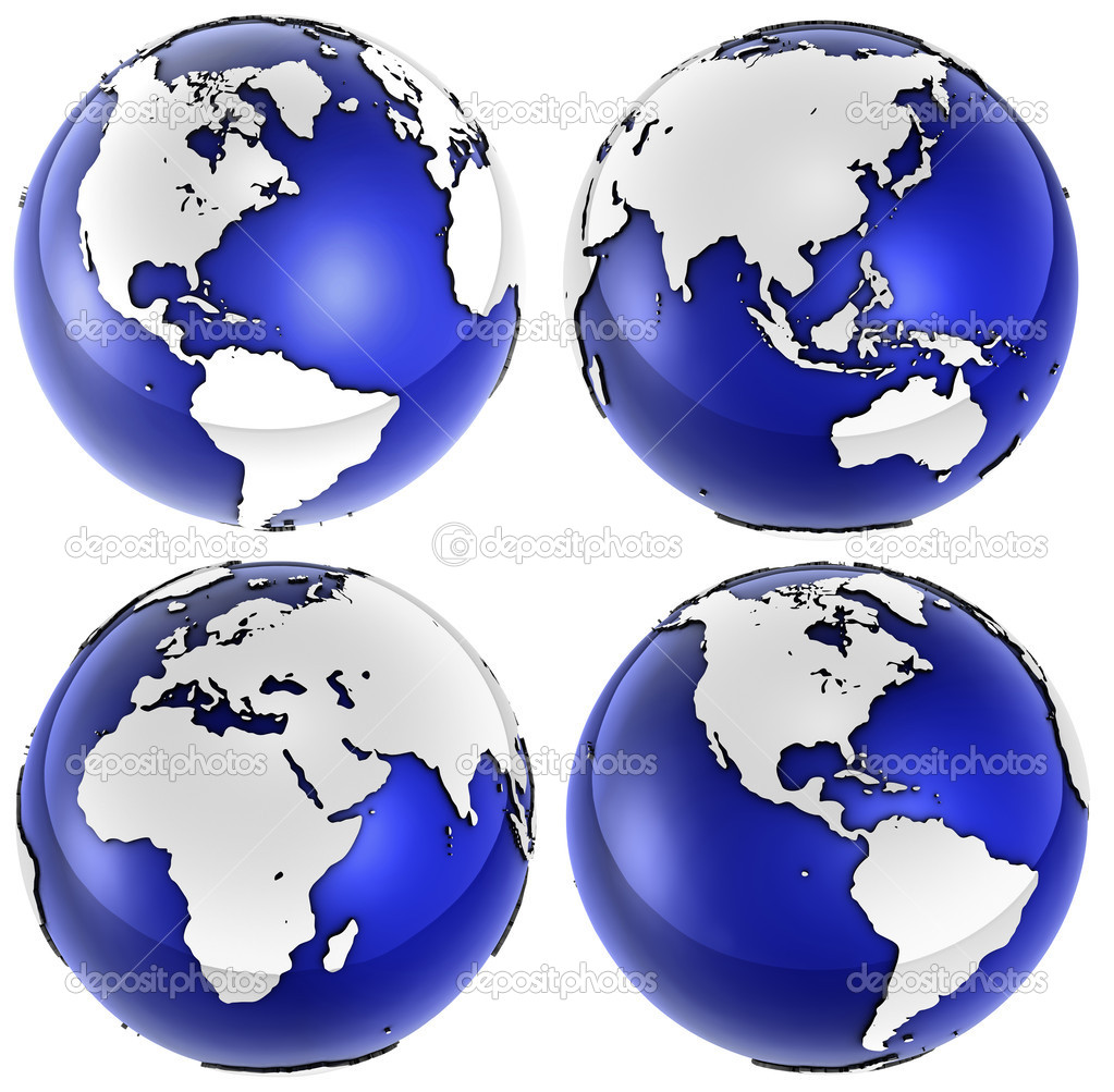
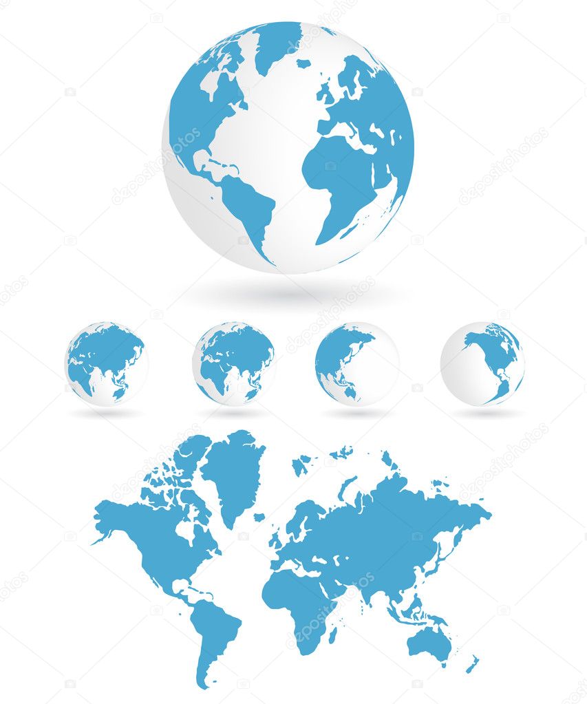
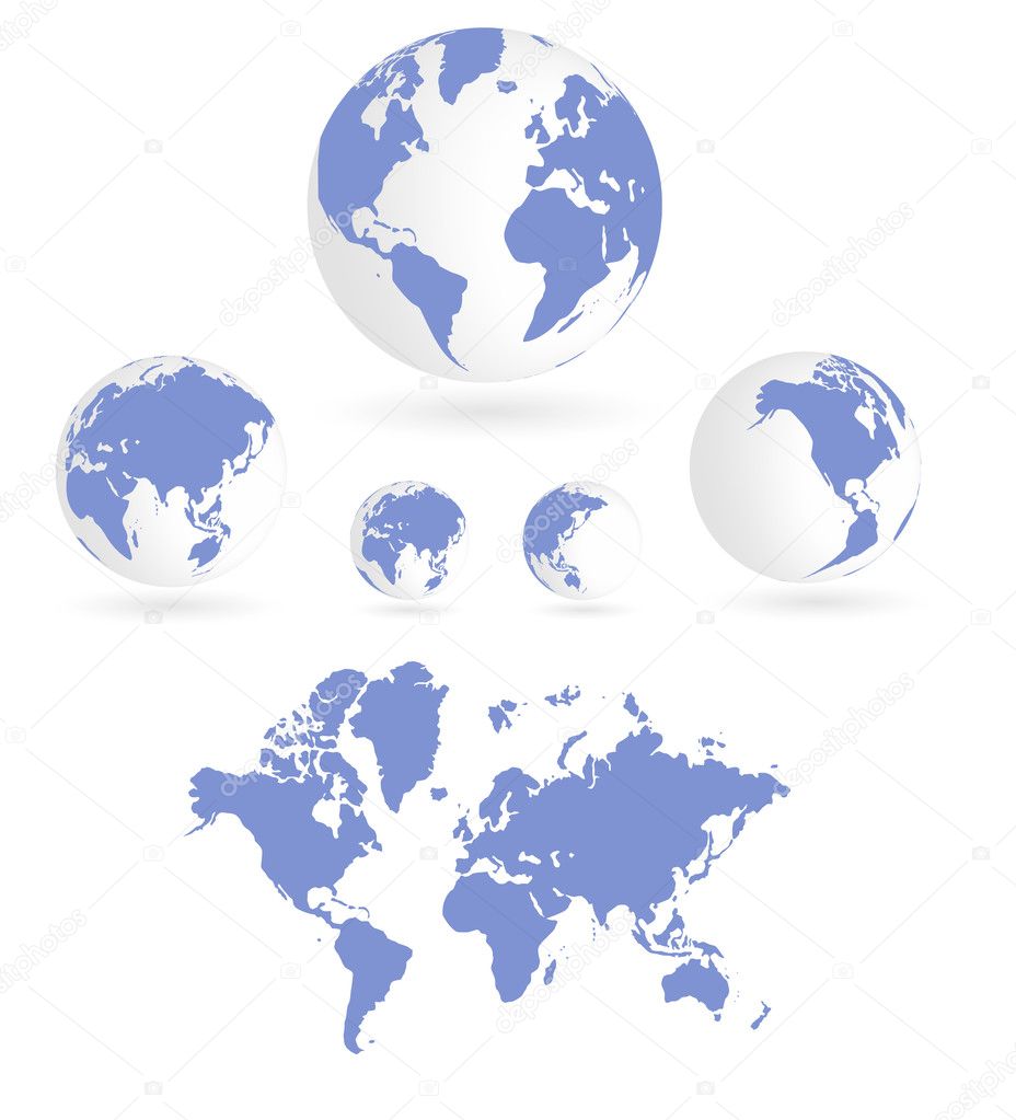
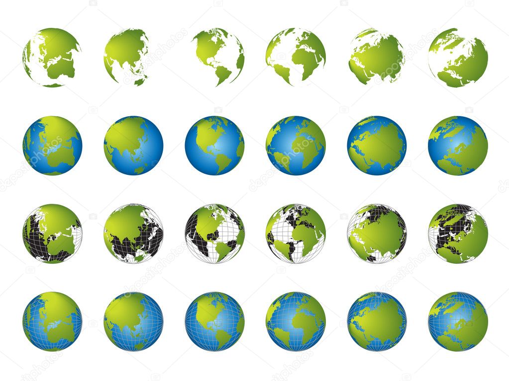
4 different angled globes styled in a sharp blue and white reflective finish over white.
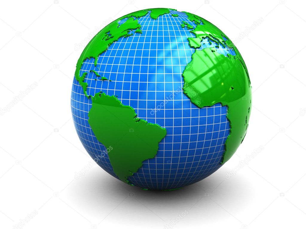
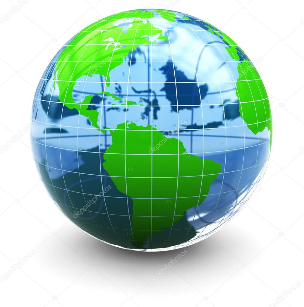
A high quality 3d earth structure styled in a reflective glass & chrome combo over white for easy isolation.

Vector illustration of World map and navigation icons.


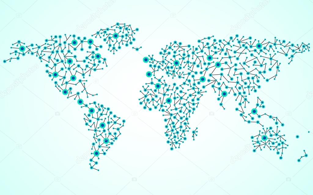
Abstract world map. Molecule structure. Colorful background. Vector illustration. Eps 10

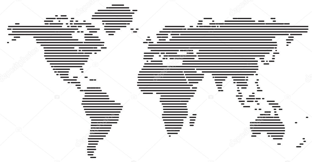
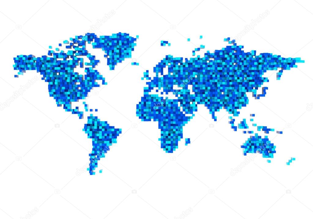
Abstract world map of radial lines, technology style. Vector
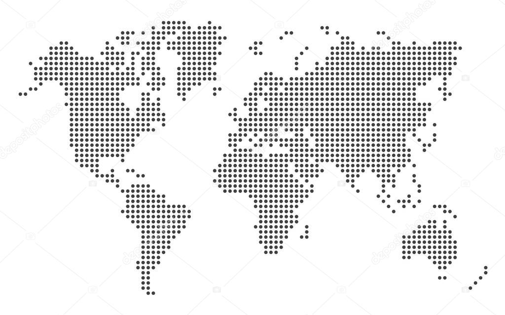
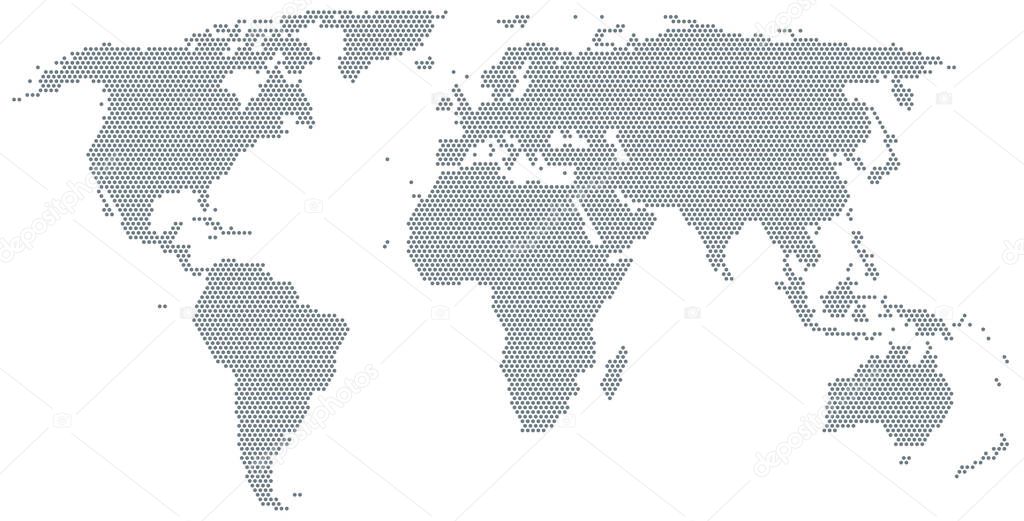
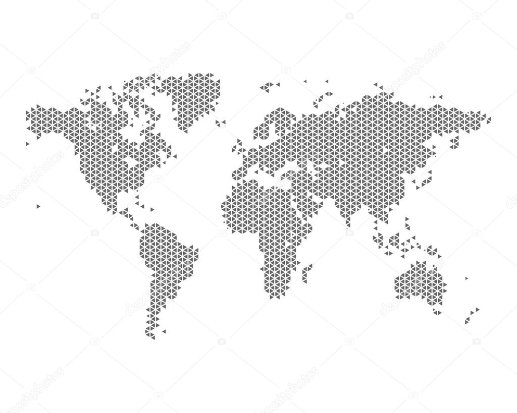
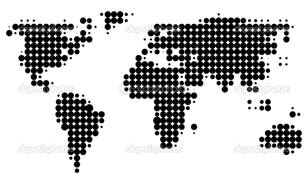
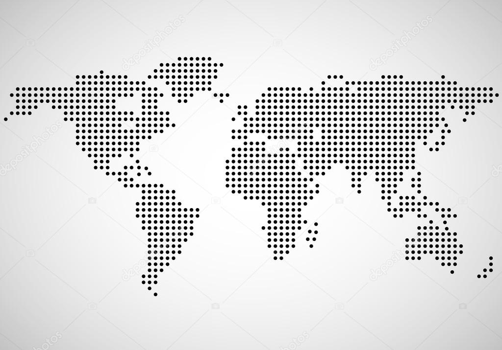
Map of the world made of gray dots. Dotted silhouette, outline and surface of the Earth under Robinson projection. Dots in a row. Isolated illustration on white background. Vector.

Abstract globe earth of radial dots. Vector illustration. Eps 10


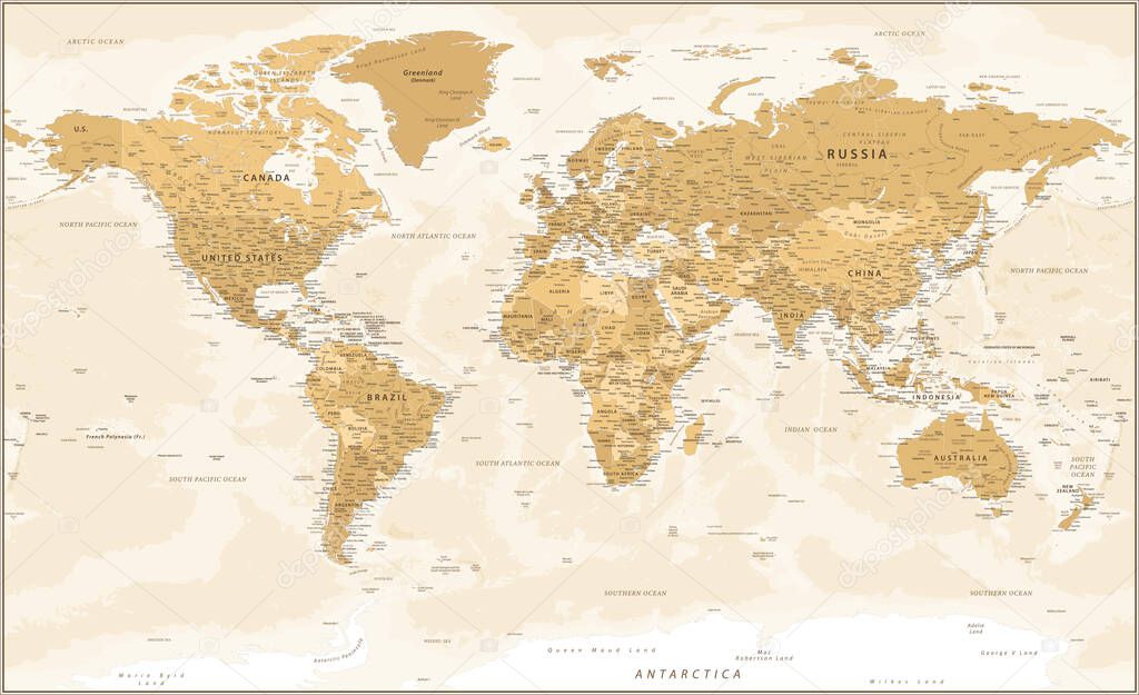
World Map - Golden Vintage Political Topographic - Vector Detailed Layered
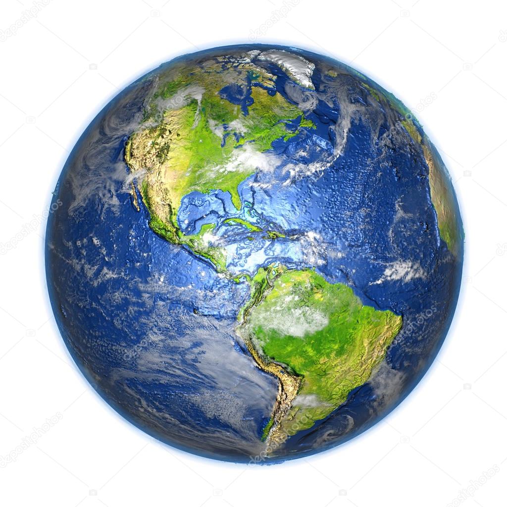
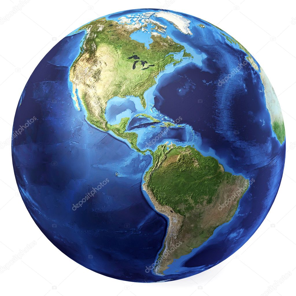
Americas on planet Earth on 3D model of Earth. 3D illustration with plastic planet surface and ocean floor isolated on white background. Elements of this image furnished by NASA.
![]()
 Italiano