


Skaklya is the highest waterfall on Balkan Peninsula - 141 meters. Skaklya is intermittent flowing waterfall - only during snow melt in spring and rains. Located nearly the town of Vratsa, Bulgaria.

Croatia map highlighted in Croatia flag colors, gray map with neighboring countries.
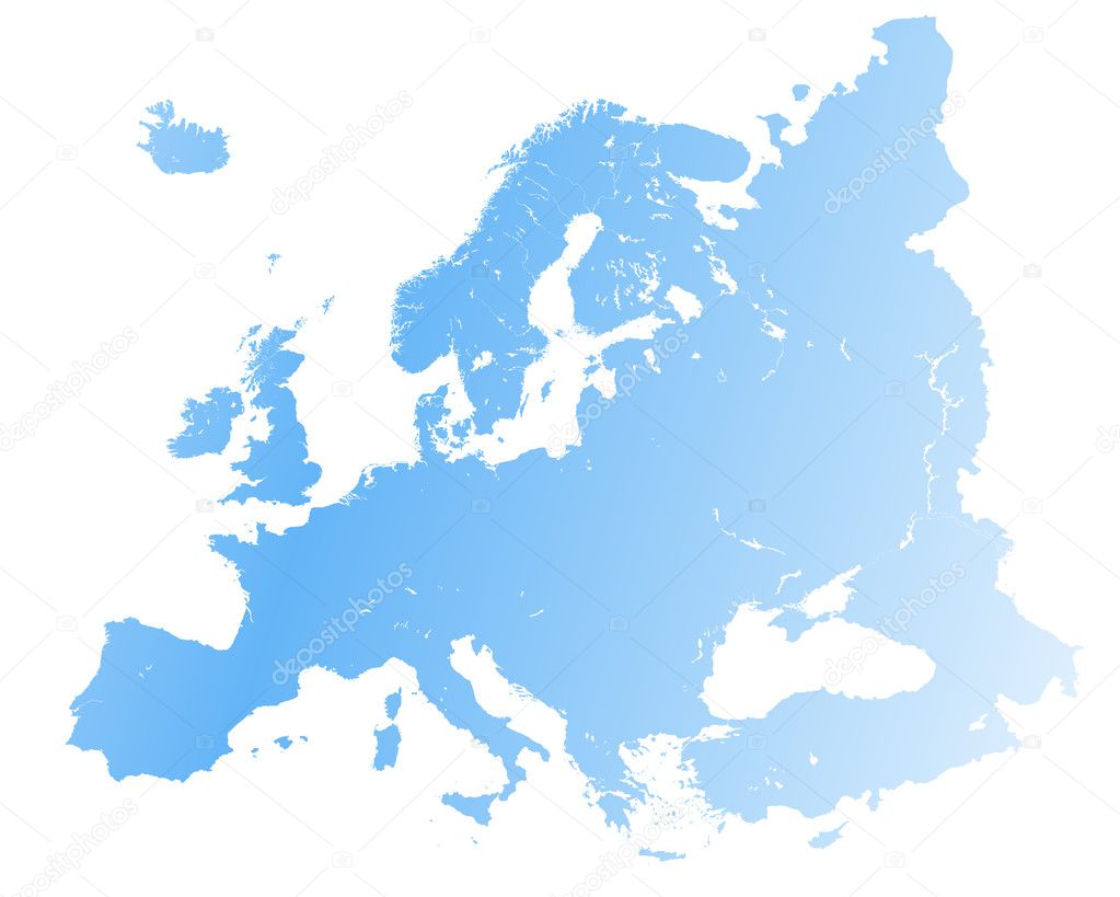
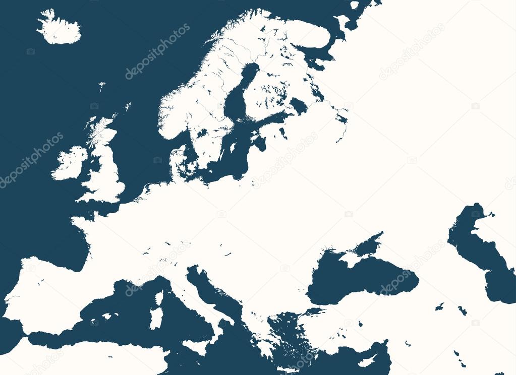
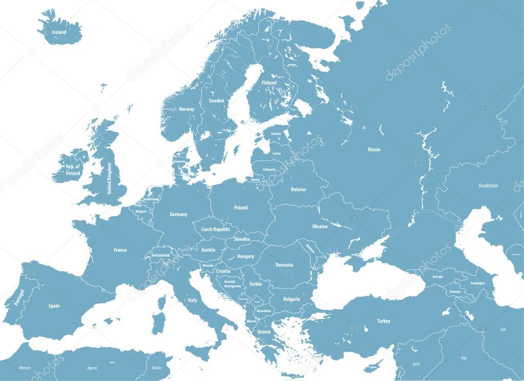
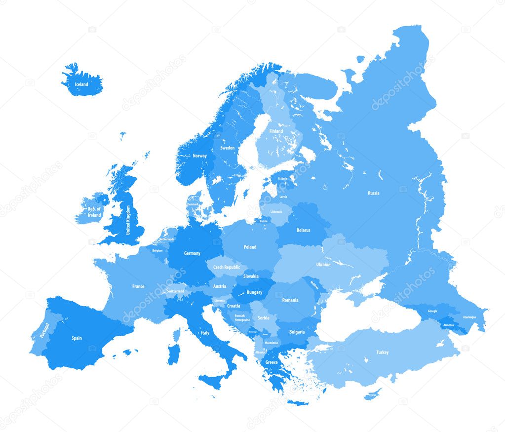
Europe Political Map and surrounding region with all countries and national borders. Blue outline illustration on white background with english scaling.

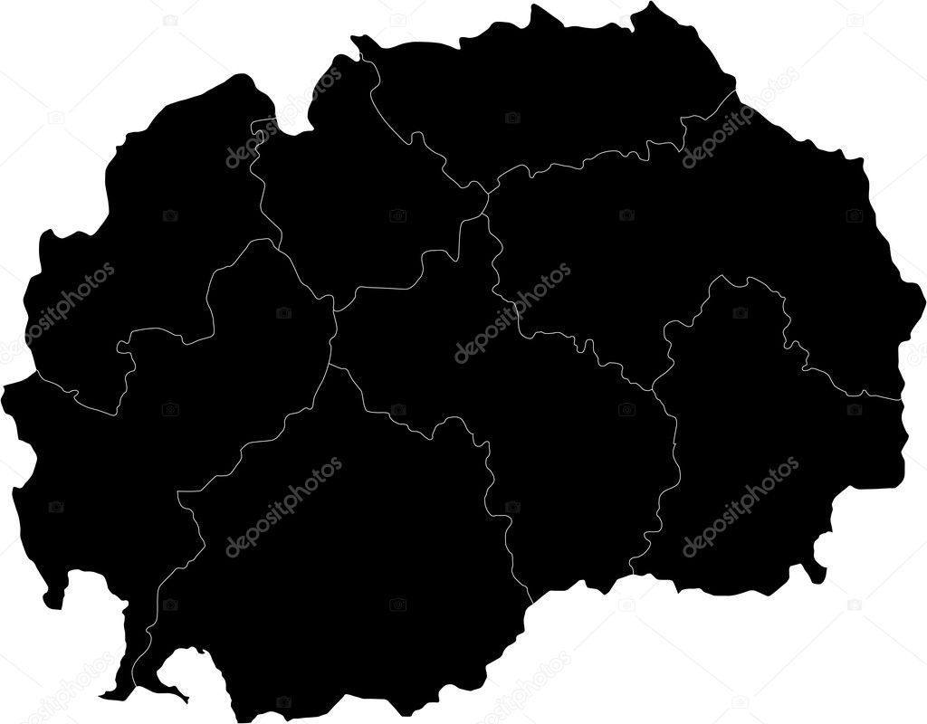
North Macedonia political map with capital Skopje, borders, important cities, rivers and lakes. Former Yugoslav Republic of Macedonia, renamed in February 2019. English labeling. Illustration. Vector.
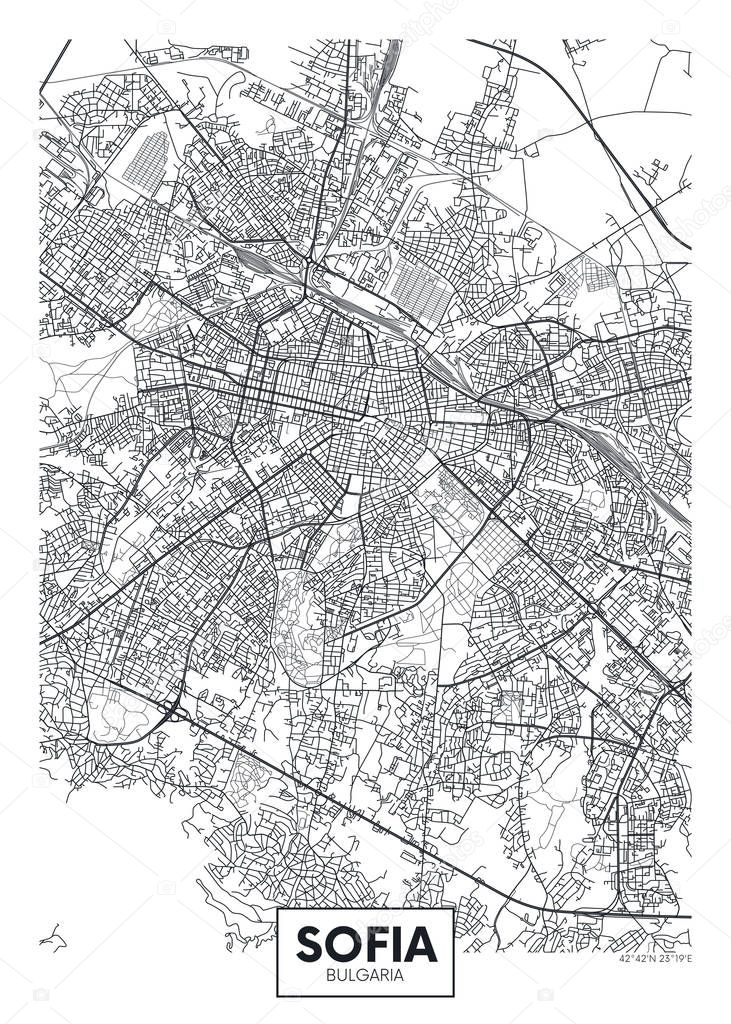
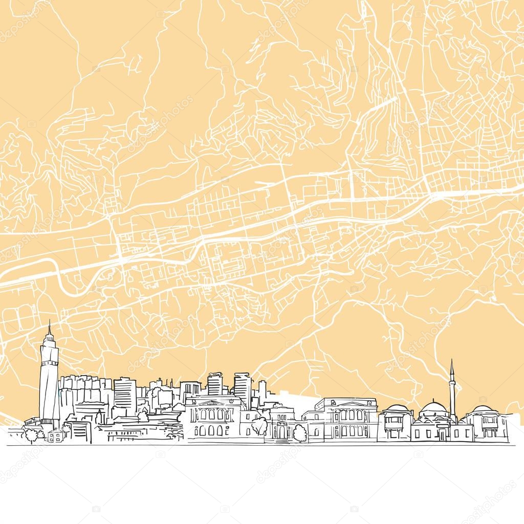
City map Sofia, travel vector poster design detailed plan of the city, rivers and streets
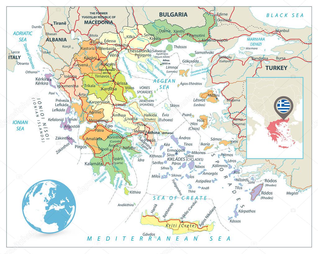
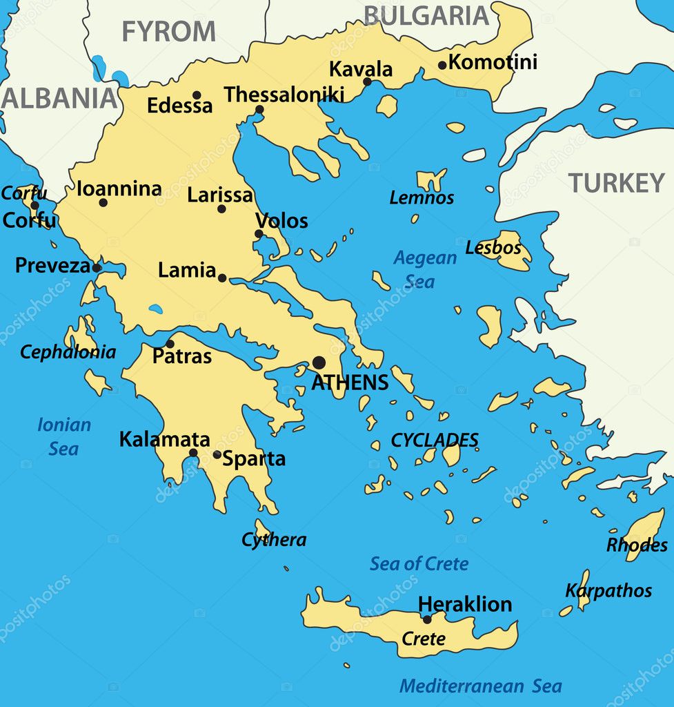
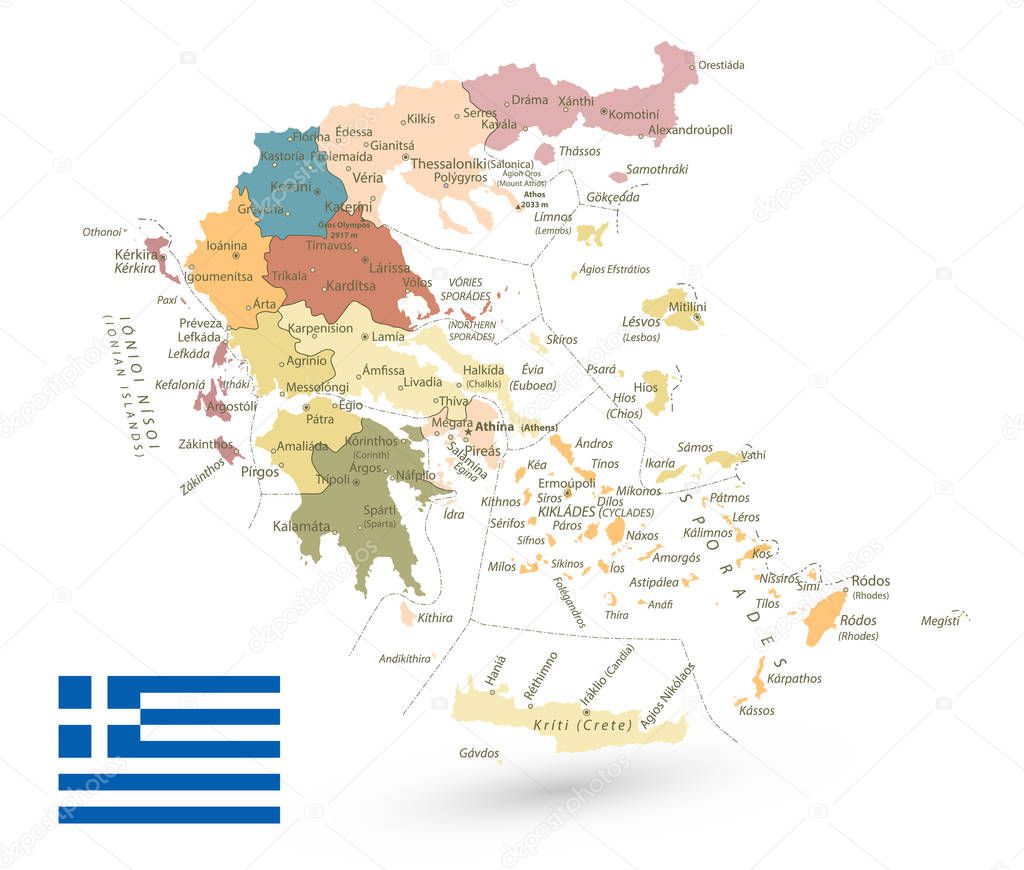
Greece Political Map Isolated on White. Detailed vector map of Greece with roads, highways and roads.
Central Balkan political map with borders. Southeastern countries on the Balkan Peninsula in Europe from Croatia to Greece. Gray illustration on white background. English labeling. Vector.


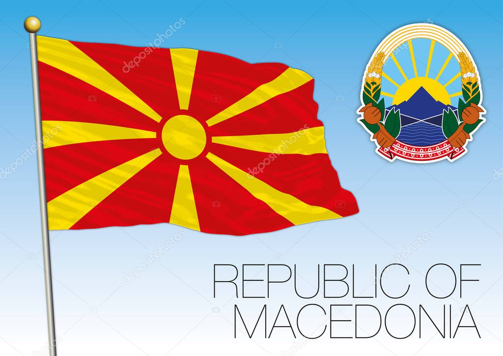
North Macedonia official national flag and coat of arms, Europe, vector illustration

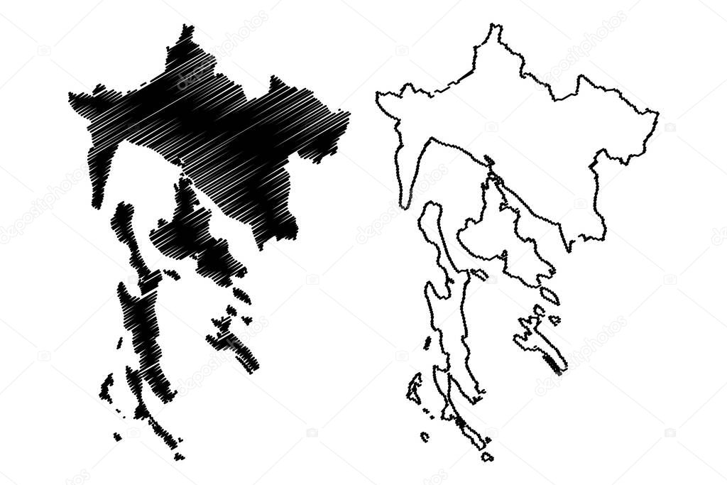
Koprivnica-Krizevci County (Counties of Croatia, Republic of Croatia) map vector illustration, scribble sketch Koprivnica Krizevci map
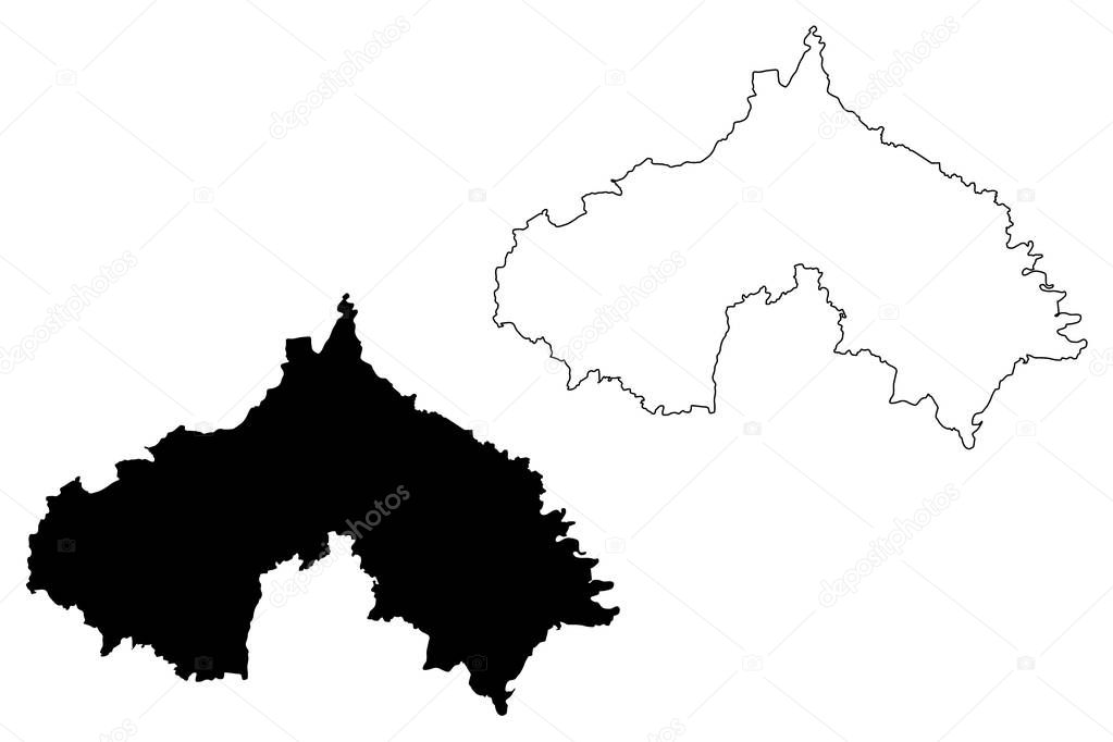
Primorje-Gorski Kotar County (Counties of Croatia, Republic of Croatia) map vector illustration, scribble sketch Primorje Gorski Kotar (Krk, Cres, Losinj and Rab island) map
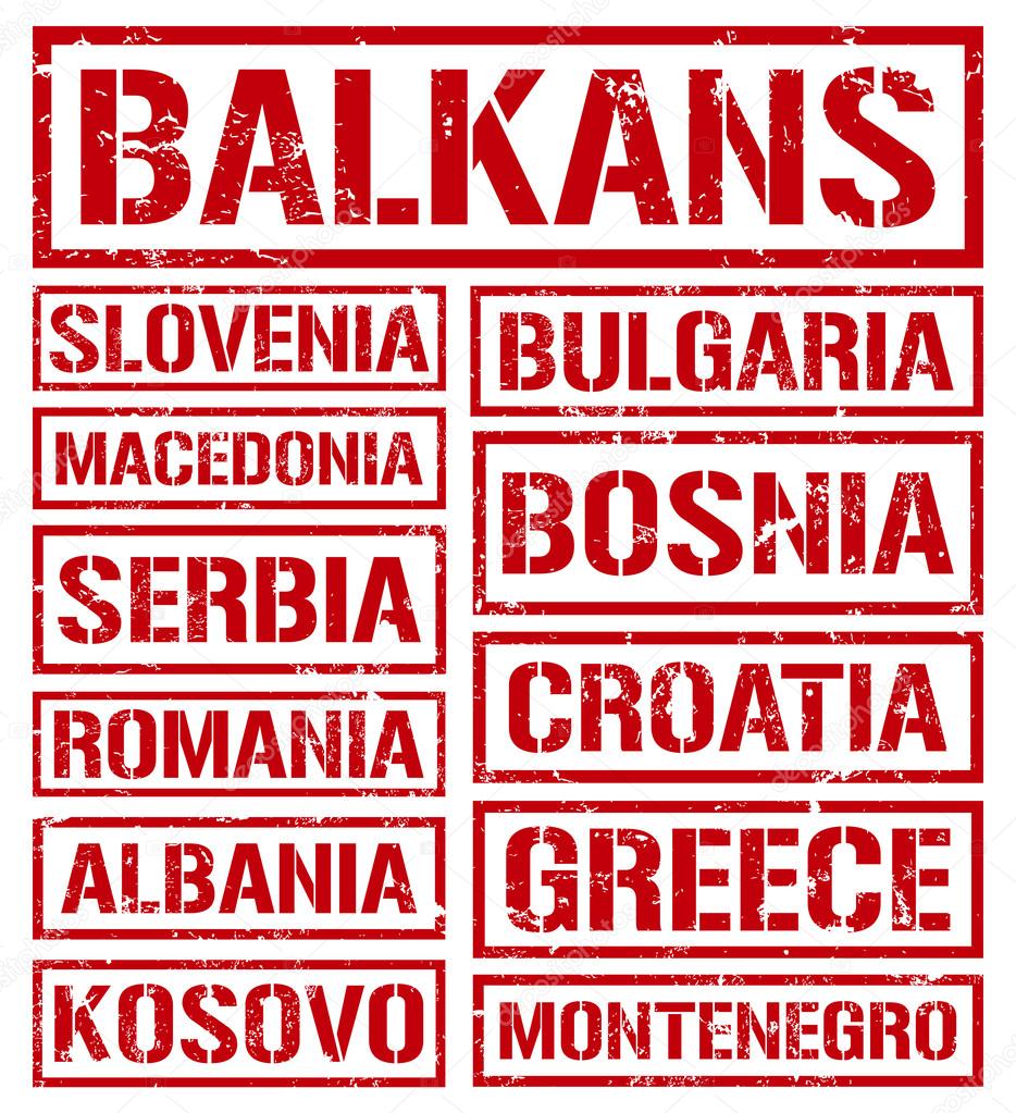
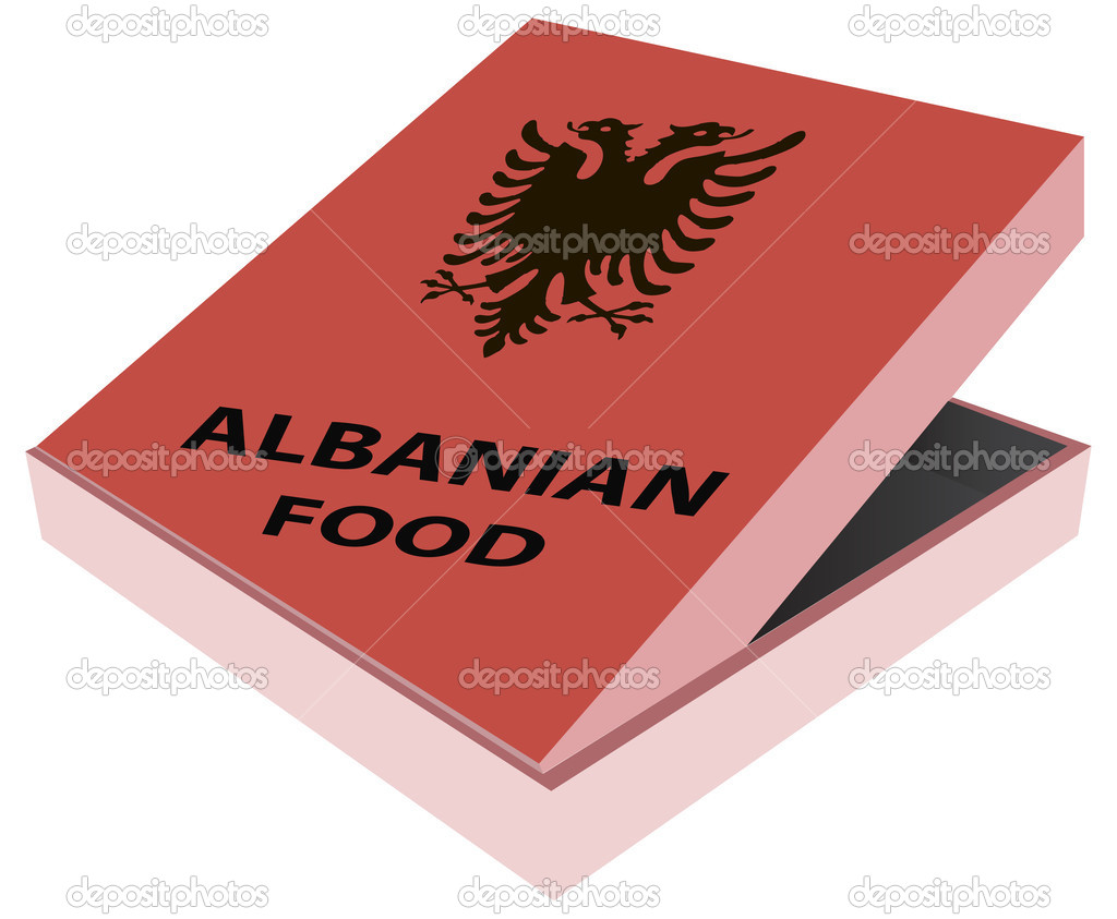
Balkan cuisine vintage rusty metal sign on a white background, vector illustration
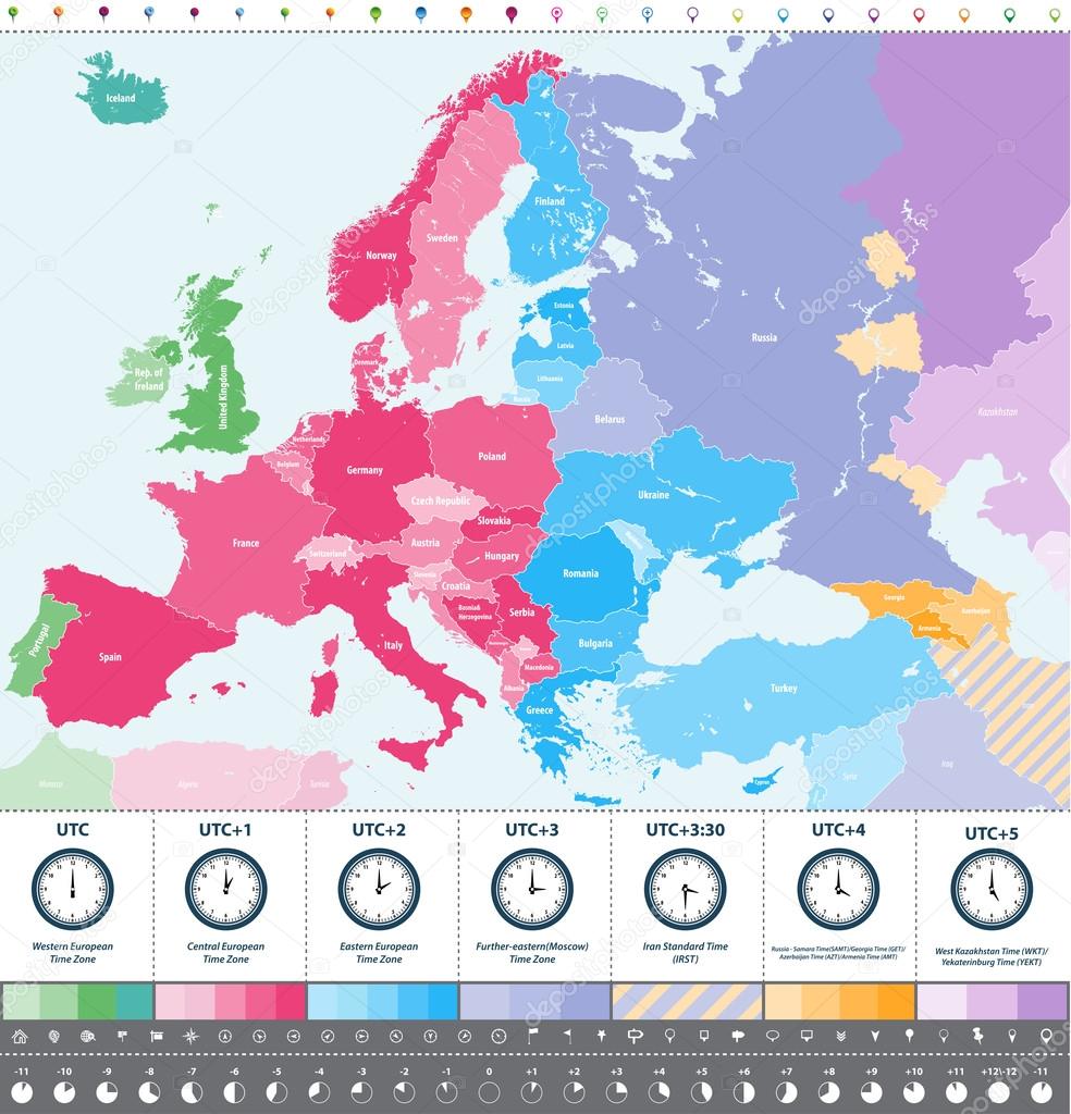
Europe time zones high detailed map with location and clock icons.

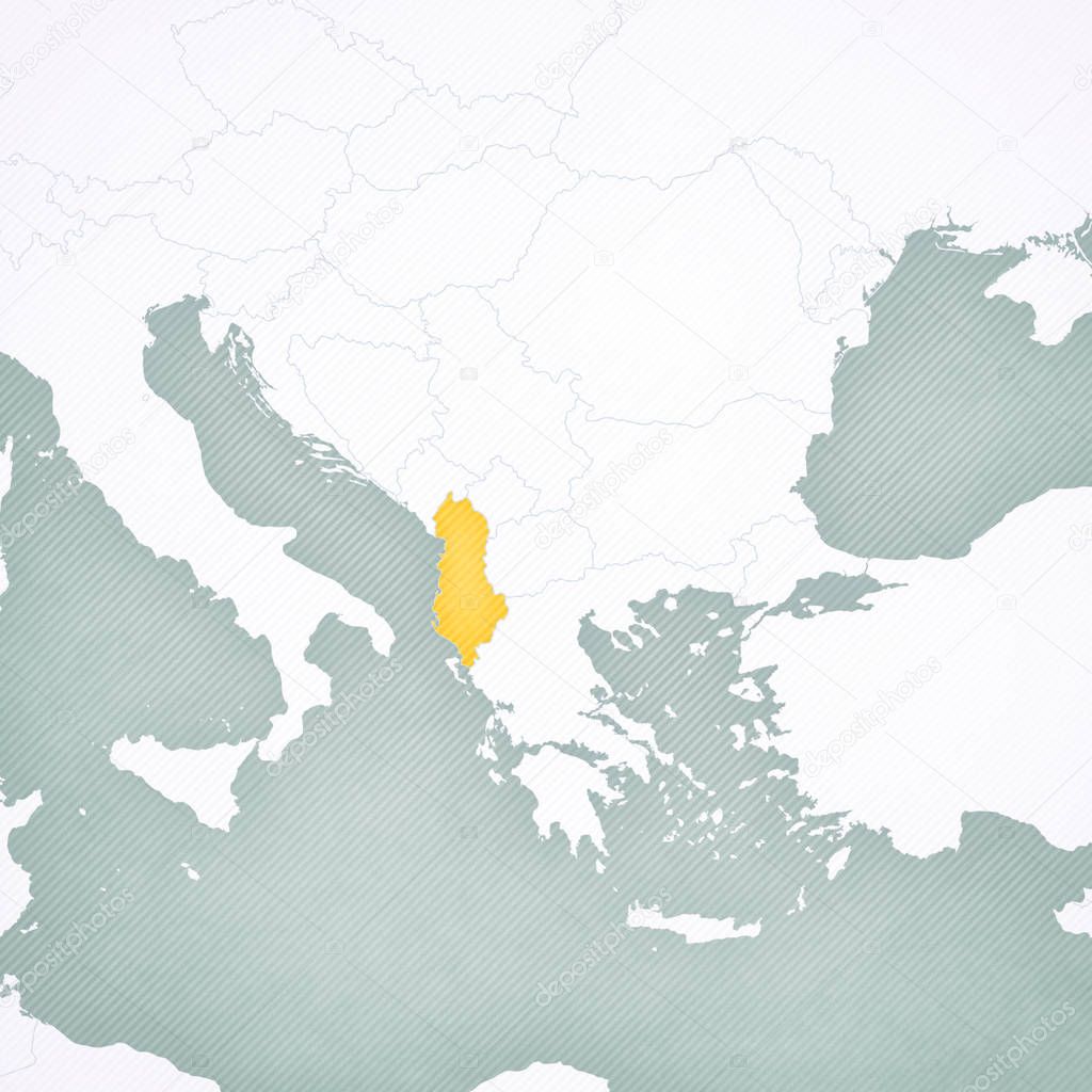
Blue-green detailed map of Albania administrative divisions with country flag and location on the globe. Vector illustration
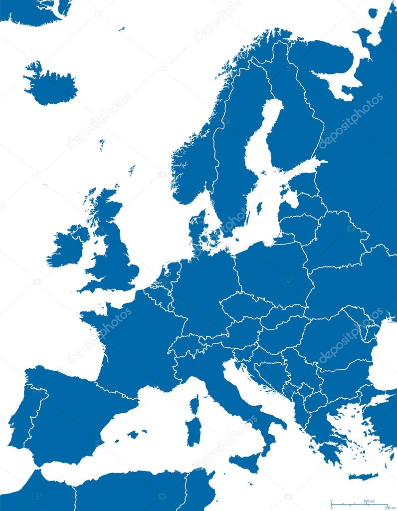
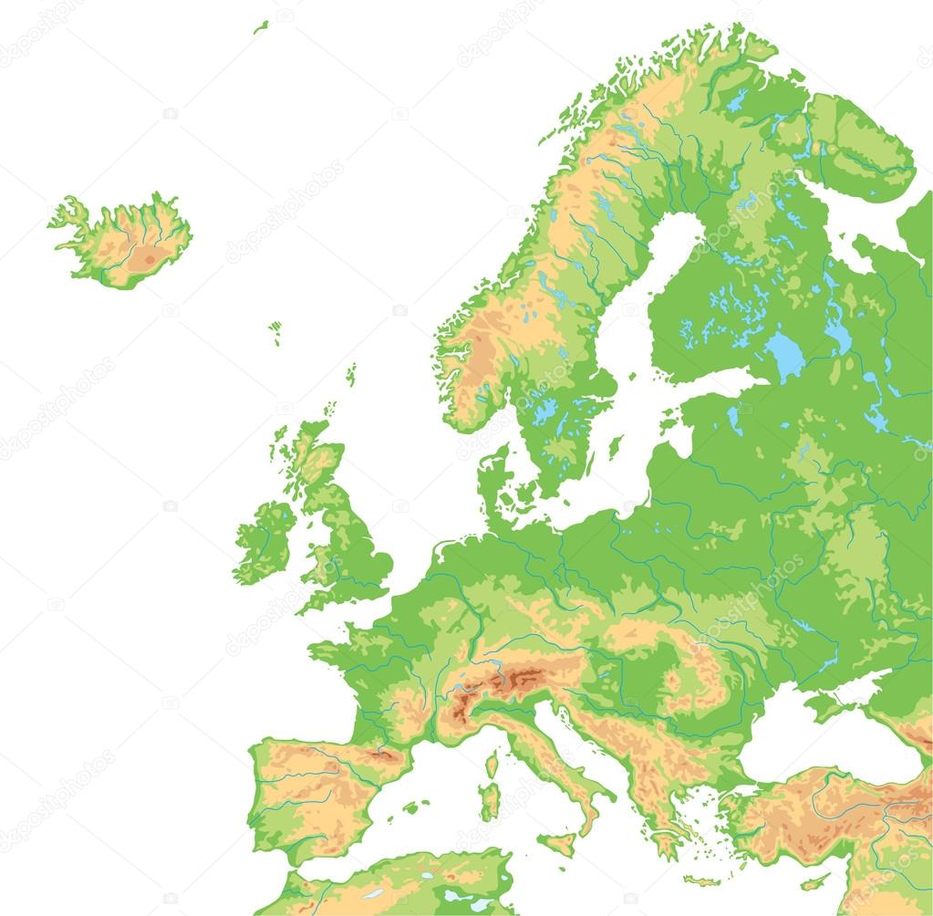
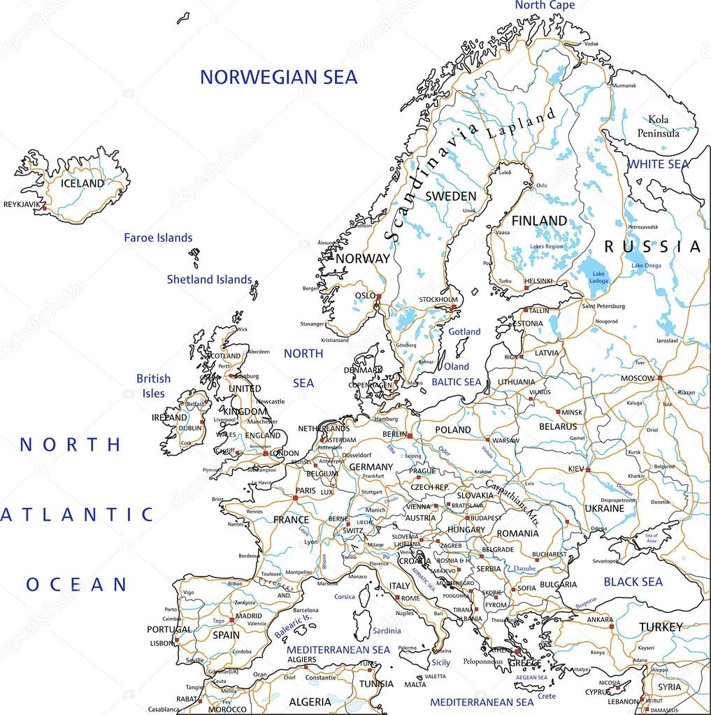
Europe high detailed political map. All elements detachable and labeled. Vector
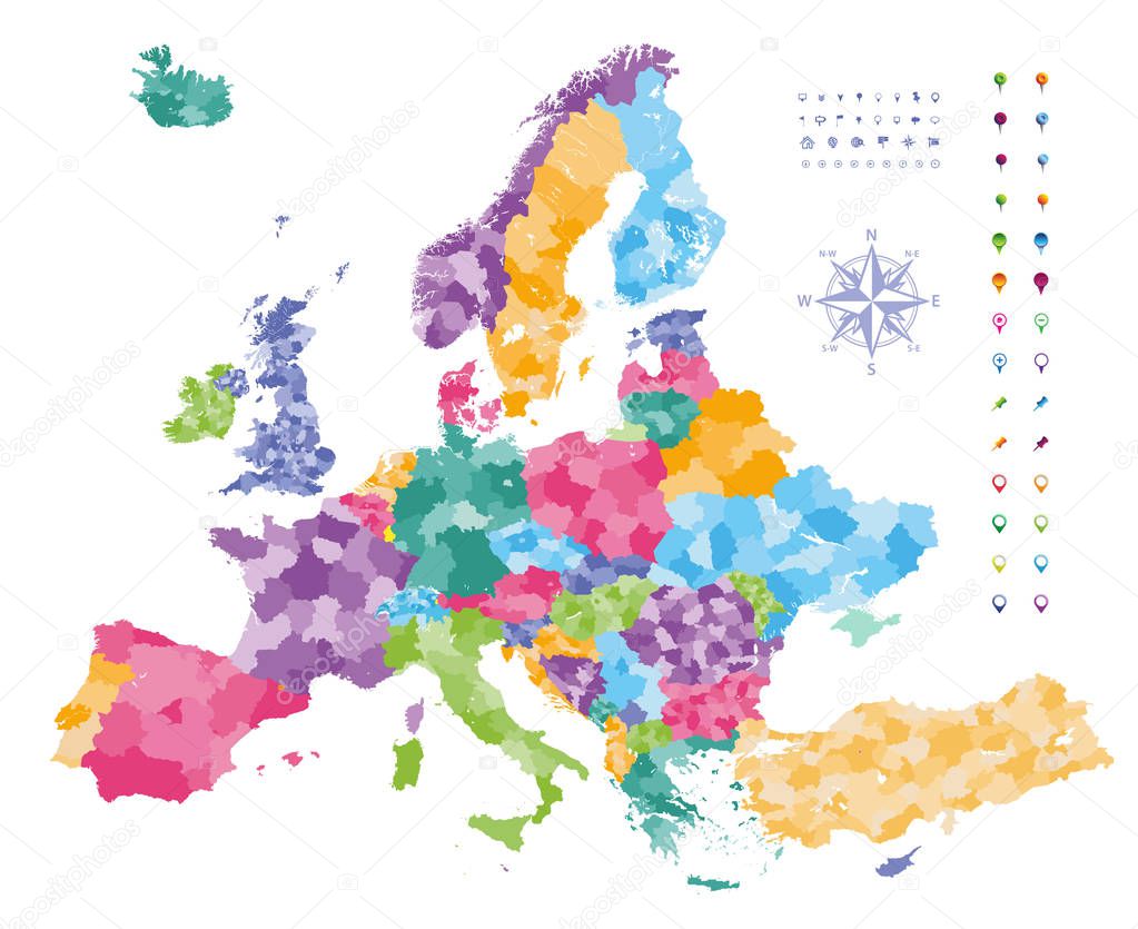
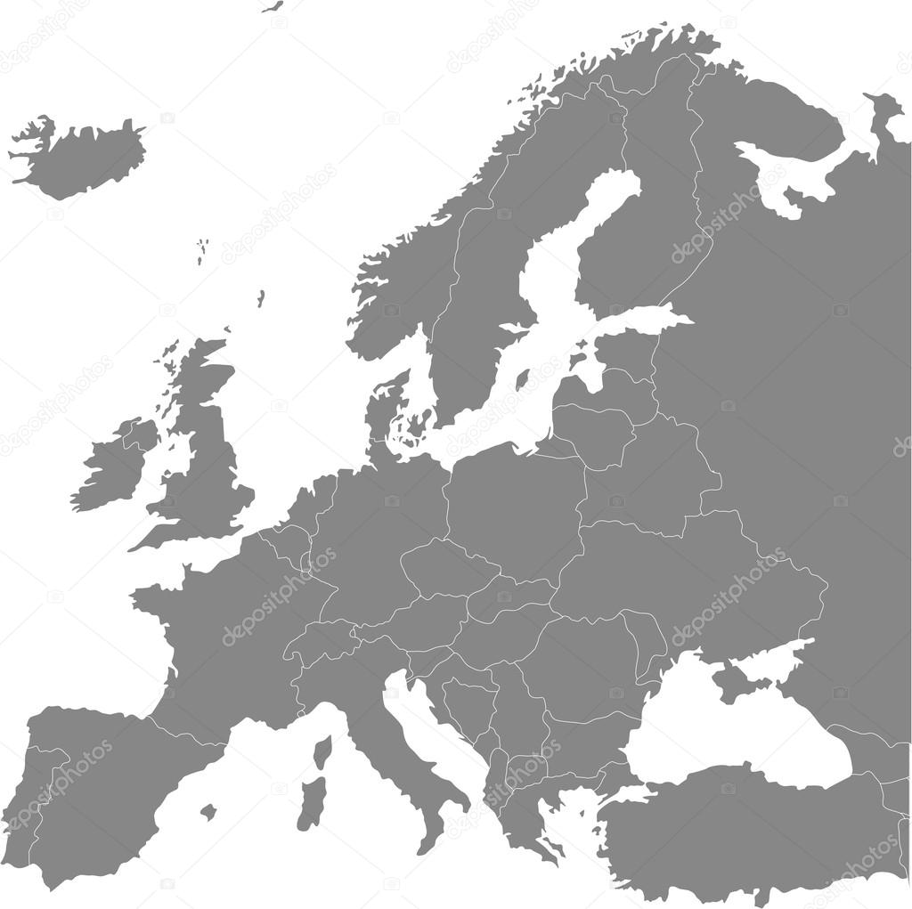
Europe map colored by countries with regions borders. Navigation, location and travel icons collection.


Macedonia region, political map. Region of the Balkan Peninsula in Southeast Europe. Part of Greece, North Macedonia, Bulgaria, Albania, Kosovo and Serbia. English labeling. Illustration. Vector.
European political map. All layers detachable and labeled

Photo of the Young muslim man near the his father grave
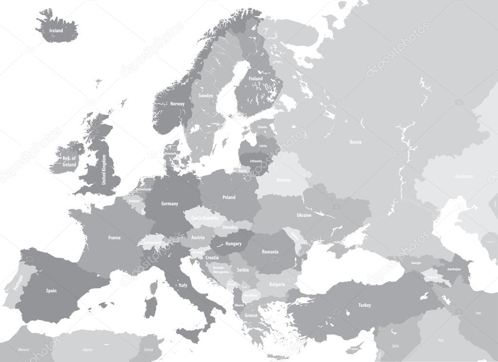
Europe high detailed vector political map. All elements separated in detachable and labeled layers
Sarajevo Bosnia and Herzegovina Skyline Map, One Color Scalable Vector Art Print with Urban Cityscape Illustration

Macedonia political map with capital Skopje, national borders, important cities, rivers and lakes. English labeling and scaling. Illustration.

Europe time zones high detailed map with location and clock icons.


Serbia political map with capital Belgrade, national borders, important cities, rivers and lakes. English labeling and scaling. Illustration.

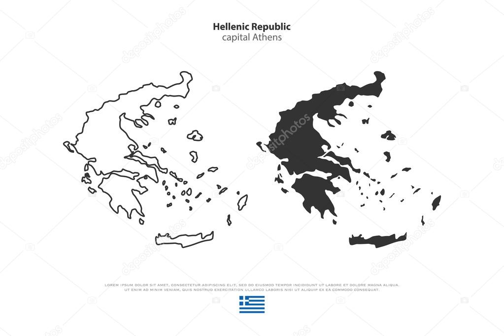
Hellenic Republic isolated maps and official flag icons. vector Greece political map thin line icons. European country geographic banner template
![]()
 Italiano