


3d Render of the United States Highlighting Hawaii


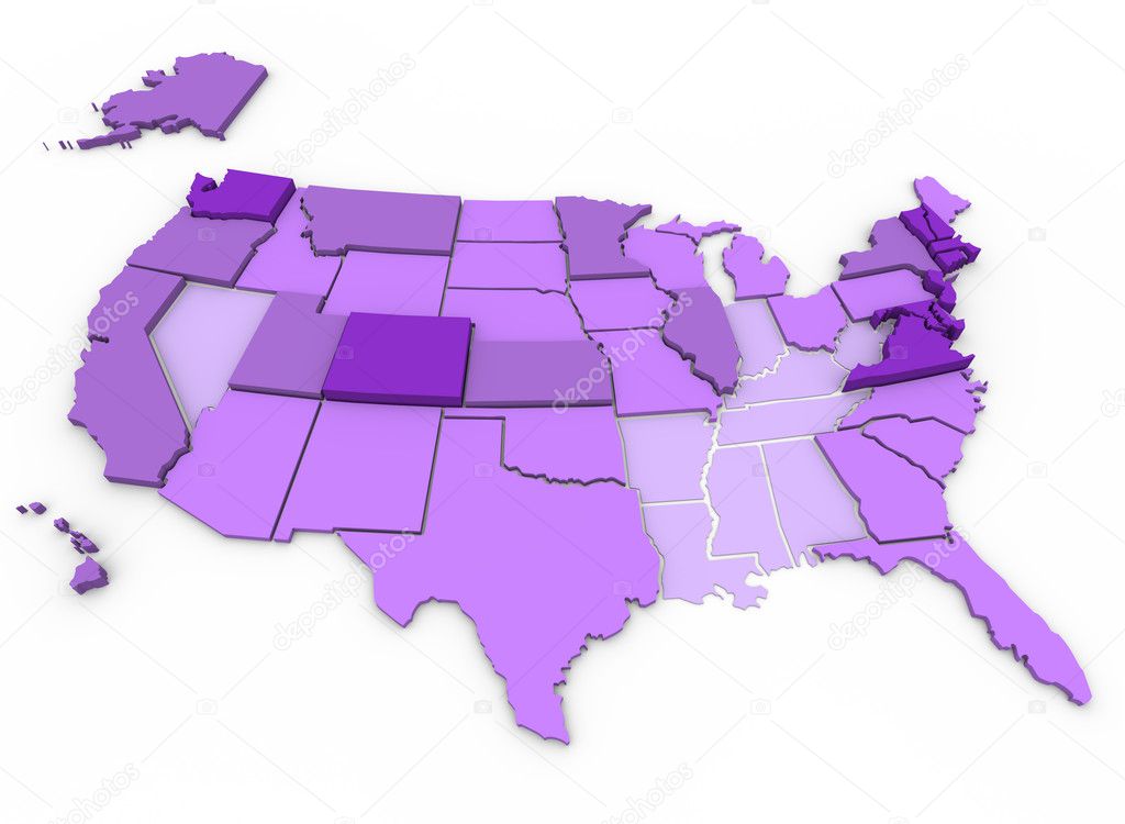
3d Render of the United States Highlighting Colorado
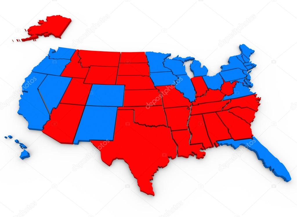
This 3d rendered, illustrated United States of America map shows the blue states that voted for Barack Obama and red states that voted for Mitt Romney in the 2012 USA presidential election


United States map with regions on white background

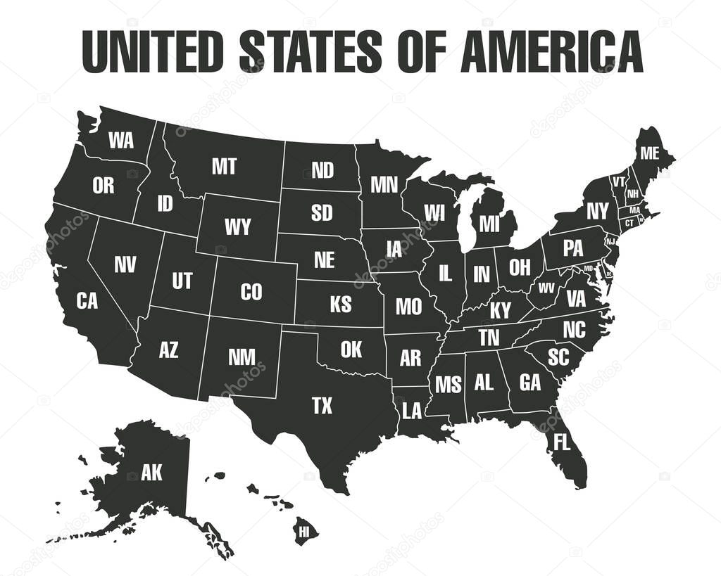
Poster map of United States of America with state names. Black and white print map of USA for t-shirt, poster or geographic themes. Hand-drawn black map with states. Vector Illustration


A large, detailed map of the State of Georgia including all counties and main cities.


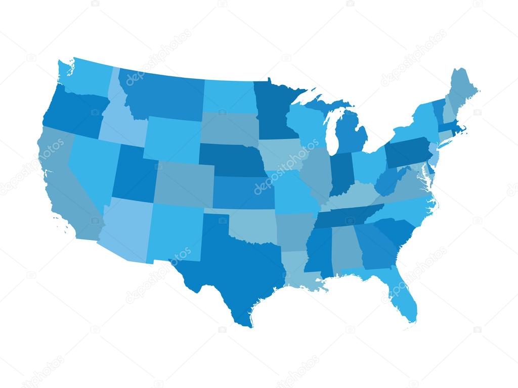
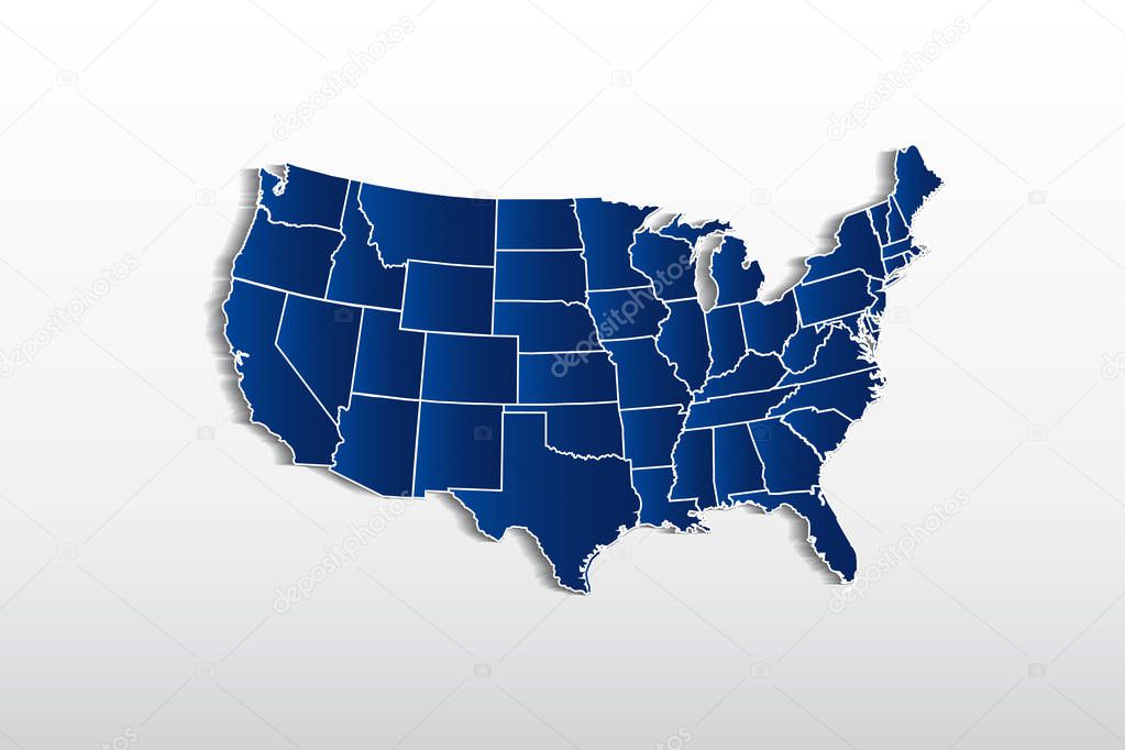
High detailed USA map with federal states. Vector illustration United states of America in blue color.
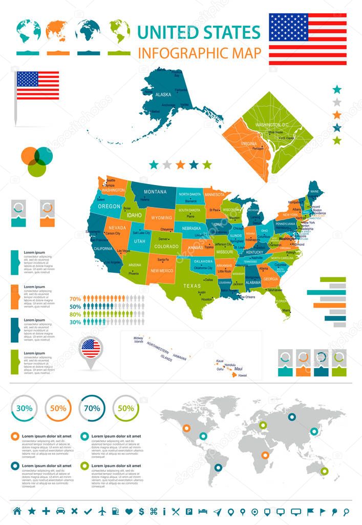
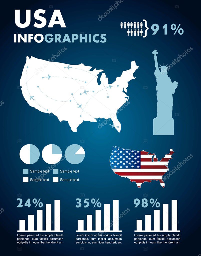
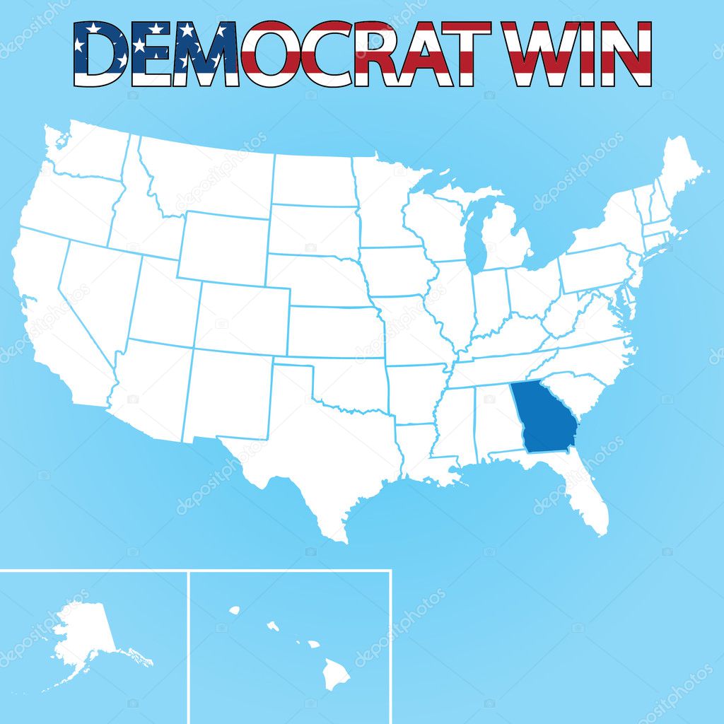
United States infographic map and flag - vector illustration

Wyoming state outline and icon inset set into a map of The United States of America

3d Render of the United States Highlighting North Carolina


3d Render of the United States Highlighting South Carolina

A large and detailed map of the State of Wisoncin with all counties and county seats.
U.S. Map showing percent of citizens 25 years and older with bachelor's degree or higher education by state. Dark purple is highest (over 27.5 percent), lightes
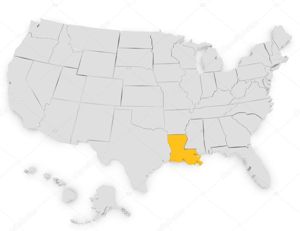
3d Render of the United States Highlighting Louisiana

An Illustration of Map of the USA with name of each states
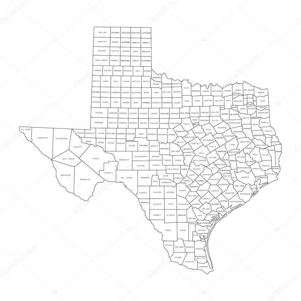
Vector illustration of administrative division map of Texas. Vector map.
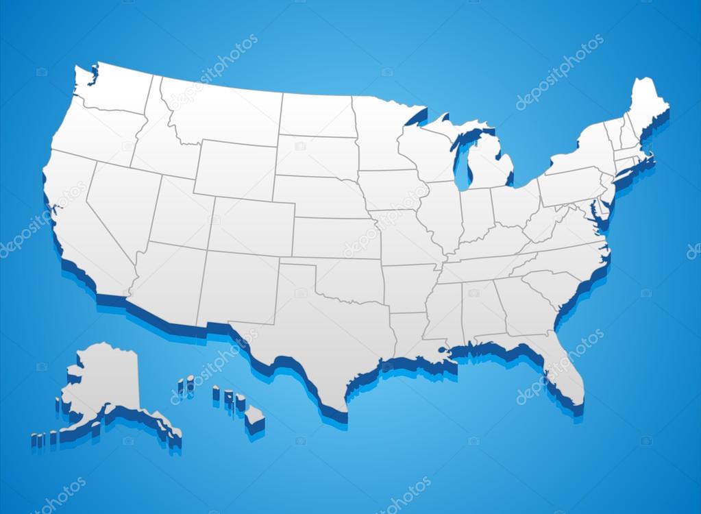
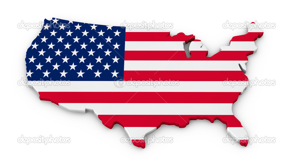
3D illustration of United States map. Colors are global and can be easily edited. Source: Outline Map of the United States from er.jsc.nasa.gov/seh/Mission_Geography/Map_Index.pdf

United States Of America color map isolated. USA vector illustration. Funny drawing color territory print. Country poster with states for travel materials and education. Cartoon style image.
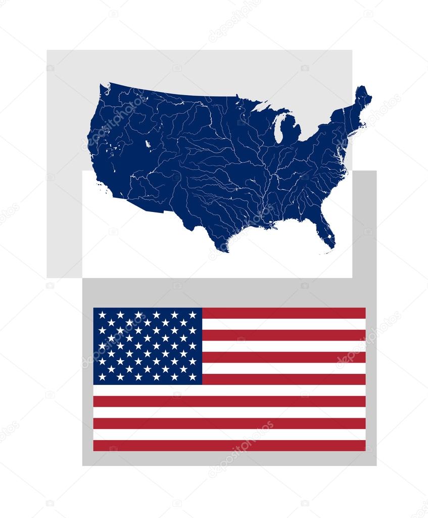
Map of the United States of America with rivers and lakes and National flag and ensign of the USA. Proper design and colors. Rivers are shown.

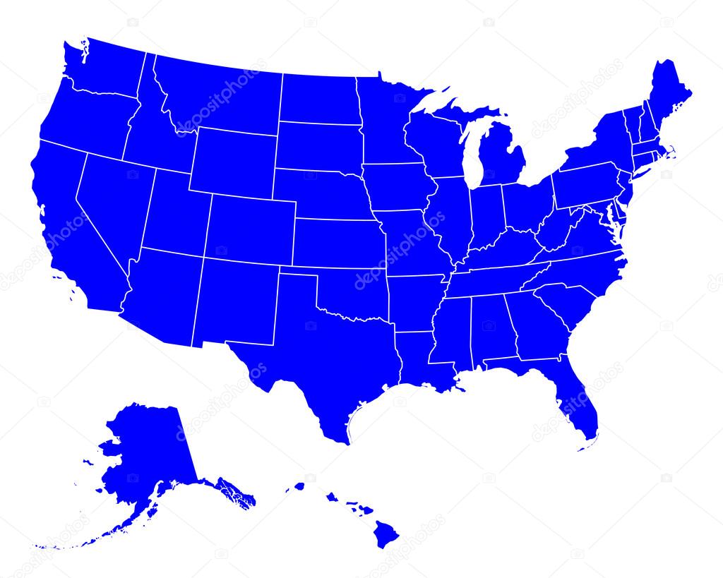
Vector USA map detailed states in blue logo icon image

Gray Outline Counties Map of US State of Massachusetts


Arkansas Mississippi Louisiana retro luggage sticker designs

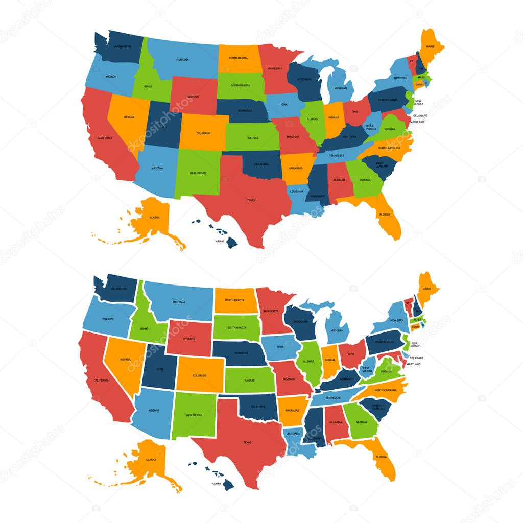
Poster map of United States of America with state names. Print map of USA for t-shirt, poster or geographic themes. Hand-drawn colorful map with states. Vector Illustration


A large and detailed map of the State of Alabama with all counties and county seats.
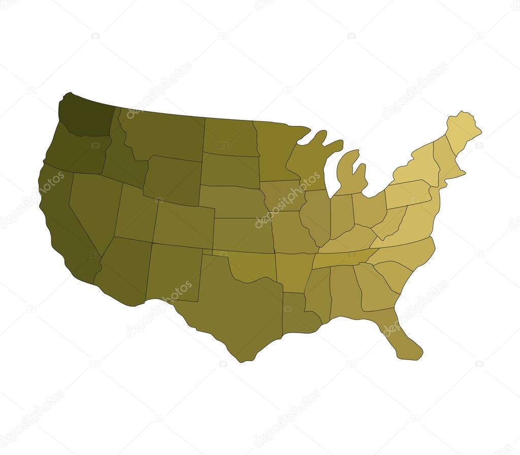
United States map with regions on white background
![]()
 Italiano